… if you want to get there by train from Dunbar!
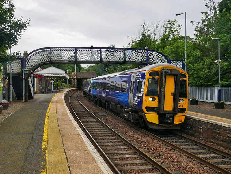
Friday 28 June: From Dunbar to Drem (the junction for North Berwick), by rail, is about 10 miles. North Berwick is then just under 5 miles away. All trains between Edinburgh and North Berwick call at Drem, but those between Edinburgh and Dunbar don’t. What’s the alternative?
I though about leaving the 11.01 Scotrail service from Dunbar at Wallyford – or Musselburgh – and waiting for the next North Berwick train. Then I realised that the latter was in fact my train from Dunbar – it would stand at Waverley for seven minutes, then depart back the way it had come, taking the line to North Berwick at Drem.
So – 55 miles and 1 hr 15 minutes later, I’m in North Berwick. I’ll enjoy a brief wander along the beach and the harbour, before looking at the sky and realising there was a hefty-looking shower blowing down the Firth. The next bus (answering the question posed above) was imminent (and waterproof) – half-an-hour later I’m at West Barns. It’s stopped raining – I’ll walk the rest of the way, across Belhaven beach, over the bridge to nowhere and along the clifftop path to get back to the start of this very enjoyable outing.
Q: Why?
A: I’d never travelled along the North Berwick branch. I have now!
The mural at the harbour: see https://juliebarnes.co.uk/uks-largest-marine-plastic-mural-to-be-unveiled-in-north-berwick/
The map below may make things clearer… (it also shows my route for the previous day’s trip to Leven)

View OS map on Streetmap http://www.streetmap.co.uk/map?X=342885&Y=686288&A=Y&Z=130


")

")


")
")


")


")