Down the quiet hidden footpaths, just yards from the Ironbridge Road, to the footbridge by the Boat Inn, and over the Severn to the china museum. “We can sit under a big brolly outside the YHA café and enjoy something from the freezer”.
If the café is open, that is. But it’s not. We can only assume they’re waiting until the china museum, now in the hands of the National Trust, reopens. Soon?
Happily, there’s a chalked sign offering ice creams and the like at the Boat (a pint would have been most enjoyable, but I’d have been fast asleep by teatime!). So, with a couple of Cornettos on a bench in the pub garden, we enjoy a few quiet minutes and prepare for the pull back up through the Dingle, which is also refreshingly cool on this increasingly warm afternoon.
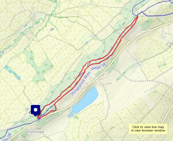
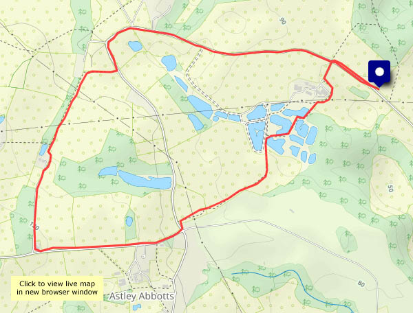
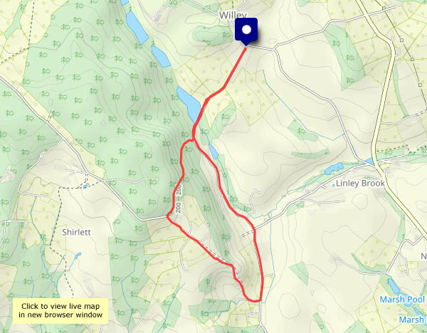
View OS map on Streetmap http://www.streetmap.co.uk/map?X=368460&Y=302151&A=Y&Z=120


")


")


")
")