I had a leg stretch earlier today, kicking my heels around the warm streets Shrewsbury while the car was serviced… It’s still warm in the evening, and I need a breath of fresh air too (not that Shrewsbury is particularly polluted). It’s not just warm – it’s quite humid, and there’s not a breath of wind. I’ll create my own breeze if I keep moving.
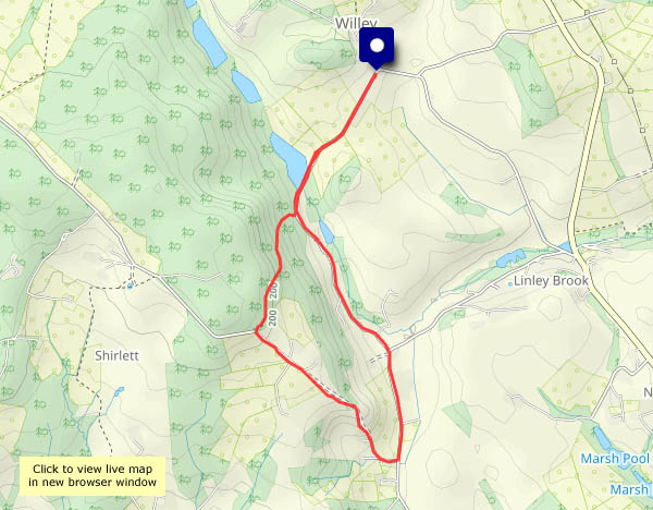
The clearance of fallen timber from the December ’24 storms is under way at Shirlett; away from the timber piles, the helleborines, now in flower, are struggling on, though it needs a burst of light from the flashgun to reveal the colour in these somewhat dowdy wild orchids. There’s colour in the western sky too, when I return to the car. What a difference an hour makes!


View OS map on Streetmap http://streetmap.co.uk/map?X=365790&Y=298180&A=Y&Z=120


")