The Danny

15 August: a day out in Cheshire – the Boat Lift and a cruise on the Weaver navigation.

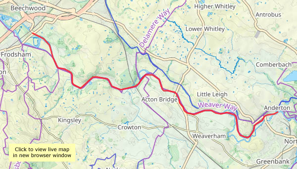
Part 2: Daniel Adamson. Slow travel through Cheshire! Having had a light lunch at the boat lift visitor centre, we boarded the coach for the journey to Sutton Weaver, near Frodsham to board ‘The Danny’. Such trips are sold as a package, starting from Anderton (with plenty of car parking) on a road coach. The 10 mile cruise takes around 4 hours, so a one-way journey is ideal for most participants. Once all are aboard, the swing bridge is swung and we’re off, at a sedate pace, gliding through attractive countryside. Two locks along the way provide extra interest, and there’s another swing bridge where the A49 crosses our route near Acton Bridge. We also cross under the west coast main railway line at Dutton viaduct. Will a train pass? Yes!

There’s plenty of natural interest too – numerous herons (or was it the same one several times?) take to the air as we approach almost silently (unless the Danny needs to sound his hooter at canoeists or other waterway users). Cormorants fly by, ducks and moorhens scuttle about beside the banks. Progress is slow and steady, but the time flies by, and soon we’re back at Anderton, berthing below the boat lift.

I’ve said little about the vessel itself. Built in 1903 as steam tug Ralph Brocklebank for the Shropshire Union Railways & Canal Co, it was purchased in 1922 by the Manchester  Ship Canal Company, refurbished in 1936 as a directors’ saloon and renamed Daniel Adamson after a key proponent of the ship canal. Its wonderful art deco interiors date from that time. Much more detail is available on the website https://www.thedanny.co.uk/

View OS map on Streetmap http://www.streetmap.co.uk/map?X=358020&Y=375621&A=Y&Z=126

Anderton

15 August: a day out in Cheshire – the Boat Lift and a cruise on the Weaver navigation.

Part 1: the Anderton Boat Lift. It’s been on the ‘to-do’ list for a long time, and today it’s part 1 of a tremendous day out. The original lift was relatively simple in concept – two giant water-filled cylinders, each supporting a caisson which could hold a canal boat, to transfer those boats between the Trent and Mersey Canal and, some 50 feet below, the Weaver Navigation. The caissons counterbalanced each other on the water balance principle, like some seaside cliff lifts. Salt and chemical corrosion cause the 1875 mechanism to deteriorate, and in the early 20th century an electric motor-powered mechanism was installed, using cables to raise and lower the caissons. Its huge A-frames and cog mechanism changed the outward appearance of the lift considerably.

Further corrosion led to closure in 1983; renovation and restoration meant it was back in action in 2001, once again using hydraulic lifts, now using oil rather than water to prevent corrosion. A relatively minor failure in the mechanism used to open and close the caissons means it’s currently not operational, but should be back in use next year (2027). Nevertheless our expertly-guided tour of the lift was most enjoyable, being both very interesting and informative. The visitor centre, with its displays and cafe, is pretty good too!

Anderton Boat Lift Visitor Centre

Part 2 – our cruise in “The Danny” – will follow soon, I hope.

Where is it? View OS map on Streetmap http://www.streetmap.co.uk/map?X=364656&Y=375226&A=Y&Z=115

Tantallon

4 August 2026: A splendid ruin on the East Lothian clifftops, just a couple of miles to the east of North Berwick. It’s a great place to explore, with dark spiral staircases and unexpected rooms. The views over the coast are great, especially that of the Bass Rock, white with many thousands of gannets. However, I suspect the best views of the castle are from a little way off…
Explorations over, we have to visit North Berwick. The sun is coming out, and it’s beginning to feel warm – the ice creams are just what’s required. A little later, we’re heading back to Dunbar – and a sunny spotlight is lighting Tantallon across the golden cornfields, a spectacular inverse silhouette against the dark seas and sky beyond (yes, the best views are from a little way off…) Moments later the spotlight has moved off the castle (and there was nowhere to stop for a photo), but the image is etched into memory…

Tantallon Castle – Historic Scotland

View OS map on Streetmap http://www.streetmap.co.uk/map?X=359690&Y=684983&A=Y&Z=120

Taking it easy at Attingham

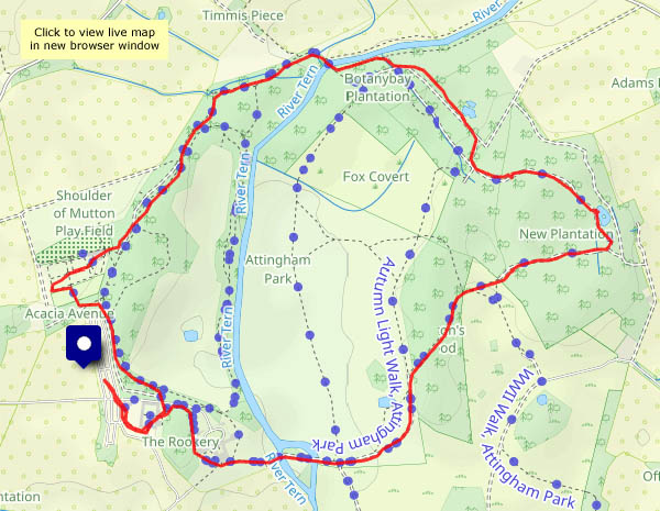
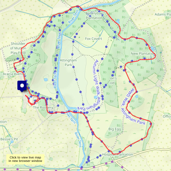
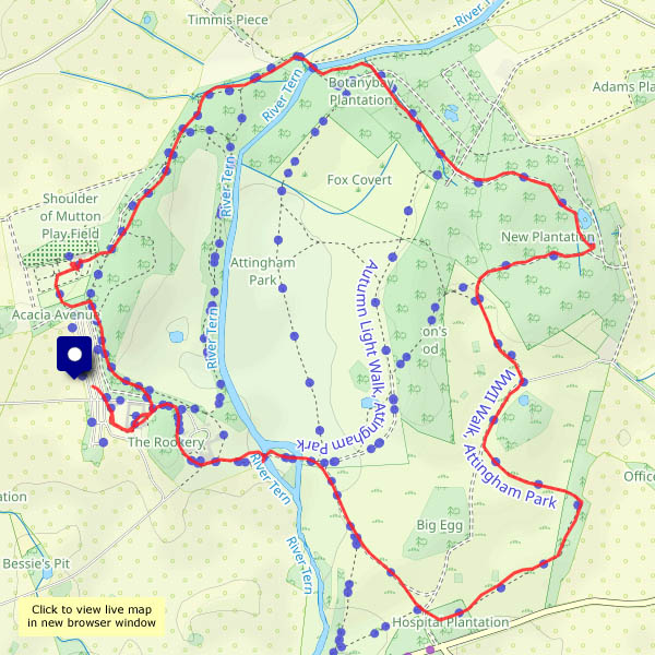
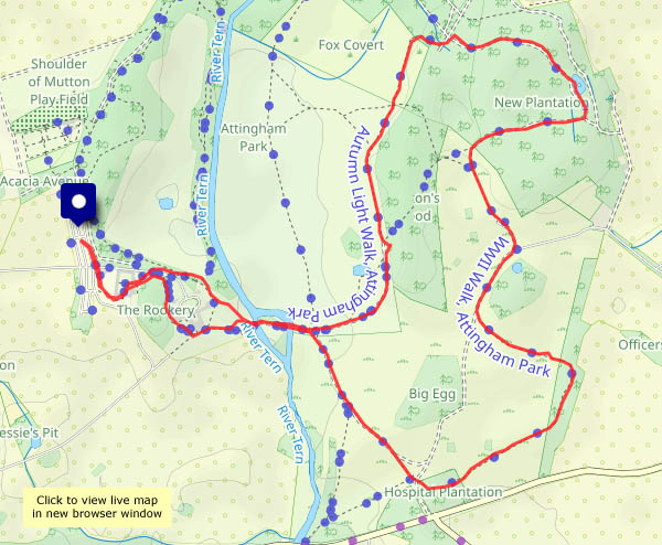
There’s no hurry! Attingham Park is a popular spot, but there are few others along the furthest reaches of the four-mile route around the perimeter – we could see more deer than people. They were taking it easy too, half-hidden in the long grass and the shade of the woods. Further round, there are a couple of moorhen chicks, bobbing about like little balls of black fluff in one of the muddy ponds, flapping vestigial wings to attract the attention of mum and her tasty snacks.

Attingham Park NT

View OS map on Streetmap http://www.streetmap.co.uk/map?X=355210&Y=310086&A=Y&Z=120

To Attingham again

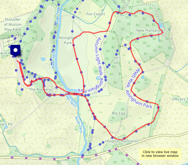
A sunny afternoon – we need to be out there enjoying this good weather! As is often the case, the car park is busy, but once we’re more than 15 minutes away from the entrance, there are few others about. That’s despite some kind of cross-country running event – we must have seen at least two runners as we wandered…

Attingham Park NT

View OS map on Streetmap http://www.streetmap.co.uk/map?X=355355&Y=310186&A=Y&Z=120

Attingham lakeside

There isn’t usually a lake at Attingham, but storm Claudia visited us a couple of days ago: her baggage was prolonged heavy rain. There’s not a cloud in the sky today, but it will be very wet underfoot away from  good surfaces – and the heathland around Attingham seems to drain well. However, the Severn’s high and the waters of the Tern can’t drain at all – hence the beautiful blue lake!

View OS map on Streetmap http://www.streetmap.co.uk/map?X=355095&Y=310050&A=Y&Z=120

Toadstools and pumpkins

It’s half term, it’s almost Halloween, and it’s very busy at Attingham – more cars than we’ve seen for a long time. “They won’t be going far…”
They aren’t – once we’re beyond the house, there are relatively few others around. The toadstools in the woods are past their sell-by dates, but there’s a wonderful assortment of pumpkins on display in the stable yard. (We’ve avoided the walled garden – we think that must be where all the others are)

Attingham Park NT

View OS map on Streetmap http://www.streetmap.co.uk/map?X=354940&Y=310040&A=Y&Z=120

Toadstools in the woods

It’s possible I’m describing mushrooms (edible) as toadstools (not!) – but even if they were edible, I wouldn’t want to risk it (Russian roulette!) and, more to the point, would rather leave them growing there for everyone to see and enjoy. It’s a grey afternoon at Attingham, but pleasant nevertheless. Sunshine would have been good but would be wasted in the woods.

Attingham Park NT

View OS map on Streetmap http://www.streetmap.co.uk/map?X=354940&Y=310040&A=Y&Z=120

Cave-dwellers

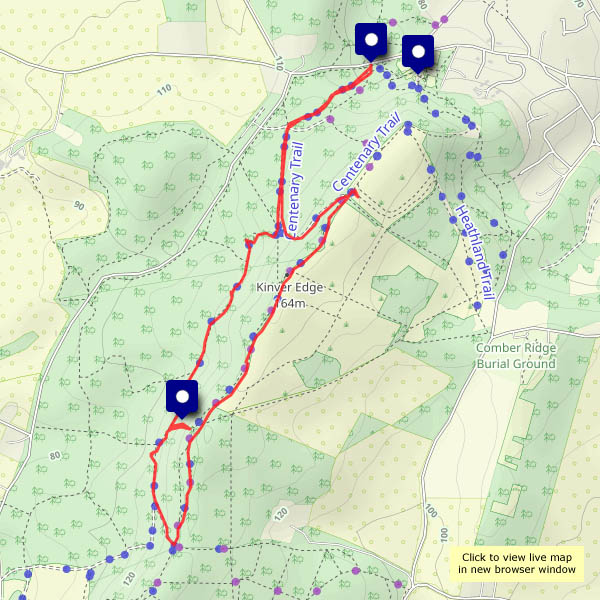
Kinver Edge and the rock houses. We’re at the southern end of that thin extension of Staffordshire sandwiched between Shropshire and the county of West Midlands – Kinver, with its wonderful rock houses and wooded sandstone ridge. The houses are in the care of the National trust (see link below), and well worth an exploration. The Edge, also NT, is a popular place for a leg-stretch – deservedly so, with its well-waymarked maze of sandy tracks, and particularly attractive on this sunny afternoon.

Kinver Edge & the Rock Houses NT

View OS map on Streetmap http://www.streetmap.co.uk/map?X=383220&Y=282885&A=Y&Z=120

Clun Castle

We’ve visited Clun from time to time over many years, but it’s a long time since we last visited the castle. Its namesake, the GWR-designed ‘Clun Castle’, no. 7029, is possibly much better known (see Clun Castle on Geoffspages blog) – the castle itself is not the most impressive of ruins. However, it’s photogenic on its mound high above the river Clun on this bright but showery afternoon, and there are some fine views of the surrounding countryside.

View OS map on Streetmap http://www.streetmap.co.uk/map?X=330120&Y=280570&A=Y&Z=126