Cleehill Curiosities

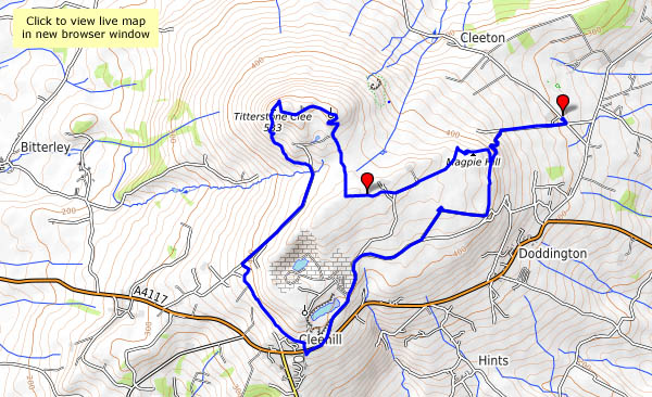
Tuesday: We’re exploring in the southern part of the Clee hills – Magpie Hill and Titterstone Clee, and Clee Hill itself (Cleehill – all one word – is the village). The curiosities are many, not all easily explained. Who would think to name a place “Random”? Then there’s the three-forked pole – shropshirehistory.com quotes a map of 1571 which described it as a “A fforked pole neare to a place whence on old Stone Crosse stood formerly”. Those space-age mushrooms on Titterstone Clee (there was once a rocking or “teetering” stone) are not quite what one would expect, though, visible from miles around, they aren’t really unexpected. But those brick-built figures of eight – what were they for?

View OS map on Streetmap http://www.streetmap.co.uk/map.srf?X=360620&Y=276671&A=Y&Z=120

Magpie, Titterstone and Clee

Walking in south Shropshire with a “railway” friend: one who appreciates the interest in the remnants of industry in these very quiet hills. They’ve been extensively quarried for stone – parts are still being worked – and the coal measures were exploited too, many years ago. There are former railway trackbeds, of the standard gauge line which took stone down to Ludlow, and the narrow gauge lines which threaded the workings. Magpie Hill’s stone went by a different means and route – an aerial ropeway took its stone down to Detton Ford, on the long-gone CM&DP. The concrete bases of the pylons are still in place, and there are bits of rail here and there, mostly in use as fence posts and similar. Long-abandoned concrete structures stand here and there, slowly crumbling, like the remains of some lost futuristic city. They can feel rather spooky when the mist comes down, but there’s no such nonsense on a fine sunny June day.

View OS map on Streetmap http://www.streetmap.co.uk/map.srf?X=359845&Y=276831&A=Y&Z=120