There are many steps in Bridgnorth – it’s a pretty three-dimensional place. I suspect there are a few cavemen too, if the truth be known. There are certainly remains of cave dwellings, and one or two houses have incorporated caves which are still in use. It’s a good place for a wander on a bright January afternoon, and away from the main roads and shopping streets, it’s pleasantly quiet.
Category: Walks
Short walks with photos and a Google map.
Underton and Meadowley
Sound delightful, don’t they? The tiniest of hamlets, below and on respectively (guess which!) low hills a mile or two to the west of Bridgnorth. Last time we were here, it was foggy (see “It’s foggy!“). Today, we can see for miles!
View OS map on Streetmap https://www.streetmap.co.uk/map.srf?X=367630&Y=292071&A=Y&Z=120
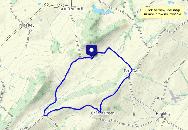
Langley Chapel and Church Preen
The ecclesiastical link is pure coincidence. Langley Chapel seemed a good (and interesting) place to start, and the hamlet of Church Preen (whose church cannot be seen from the through roads) marked the half-way point. It’s a circular walk, entirely on very quiet roads (six miles, five cars, two horses), as last night’s heavy rain will have made the fields and paths really soggy. It’s very pleasant out too – clear air, just a light breeze, sunshine – what more could one want?
We’ve been to Langley Chapel before – for more photos, visit Langley Chapel
View OS map on Streetmap https://www.streetmap.co.uk/map.srf?X=353900&Y=299181&A=Y&Z=120
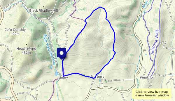
Nordley Common and Linley Brook
We’re trying some paths we haven’t walked before: the bridleway over Nordley Common, a relatively-new permissive path next to the main road, and a little-walked path beside Linley Brook. As might be expected, there’s some mud on the bridleway, nothing we can’t cope with. There’s a bit of a pool on the permissive way – we’ll walk around it. The way beside the brook is something else. It’s a jungle! Just the barest trace of a path, which in places is perilously close to the brook, wet and extremely slippery… Tricky. One of us slipped (away from the brook, fortunately) and sat in the mud, and is still grumbling… Will it be worth trying in summer, when it might be drier underfoot? Or will the jungle be even less penetrable? (Will we bother to find out?)
View OS map on Streetmap https://www.streetmap.co.uk/map.srf?X=368150&Y=297381&A=Y&Z=120
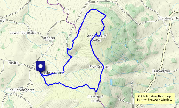
Mist on Brown Clee
Monday 30th December: like Christmas Day, the sky is blue. Unlike Christmas Day, there’s a stiff breeze – and patches of mist blowing around, not enough to be a nuisance, but adding to the enjoyment of this wonderful day on the hills. Remarkably, above the mist, the views are (at times) extensive – there are the Black Mountains – and that’s Pen y Fan, the highest point of the Brecon Beacons, some 55 miles distant. It’s unusually busy up here – we must have seen more than 20 other people. Mostly, they confine their activites to the small area between the summit and the old railway incline – elsewhere, Brown Clee is ours.
View OS map on Streetmap https://www.streetmap.co.uk/map.srf?X=358945&Y=286006&A=Y&Z=120
Grey days at the year’s end
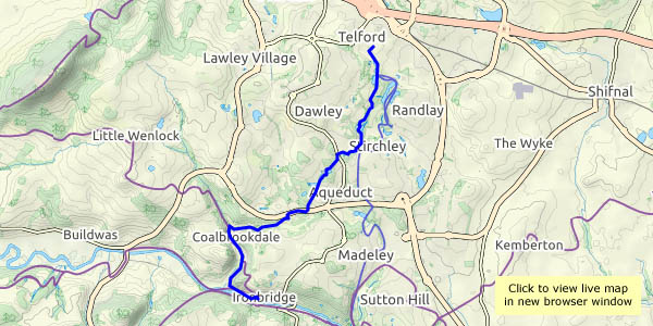
A linear walk from home, out to Willey and Shirlett (from where, if the phone’s working, I’ll arrange a lift). There’s a hint of colour in the south-western sky, otherwise the landscape is dull and grey – except in the woods, where there’s colour under the trees. These are quiet places – exceptionally so today, just the sound here and there of running water, accompanied by occasional birdsong. Just what’s needed!
Willey in winter
It’s Christmas Eve, another fine afternoon (not really wintry at all) and a last chance to take in some fresh air. There’s water from the fields running down these quiet lanes – the boots are remarkably clean when we get home!
View OS map on Streetmap https://www.streetmap.co.uk/map.srf?X=367540&Y=298191&A=Y&Z=120
Midwinter meandering
Circumstances (not least the weather) have conspired to keep the camera indoors for a couple of weeks – it was suffering from lack of exercise (so was its owner). Today it’s bright and dry – time for a local leg stretch. Our last outing was to see the cooling towers meet sudden destruction – I’ll look down on the site, and see how it compares with our last view from this position, high up in the woods on Benthall Edge.
To the Wrekin!
For complex (and mildly embarrassing*) reasons, a walk on the Long Mynd became a walk up the Wrekin. The hill is lower and the walk shorter, but it’s not an inferior substitute – it provides us with a very enjoyable leg stretch and a good place to sit and enjoy our sandwiches. Afterwards, tea and cake in Much Wenlock replace the intended refreshments in the Carding Mill pavilion – similarly, not at all inferior. A most enjoyable little outing!
*I forgot my boots!
View OS map on Streetmap https://www.streetmap.co.uk/map.srf?X=363280&Y=308451&A=Y&Z=120