Stiperstones – foxgloves, bilberries and kites

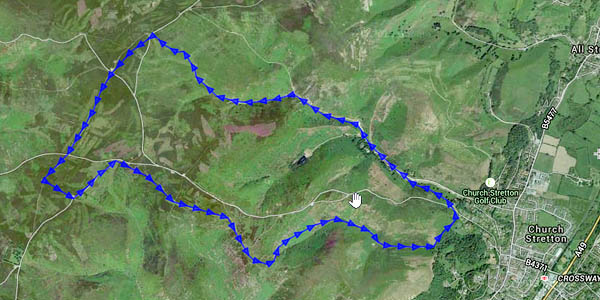
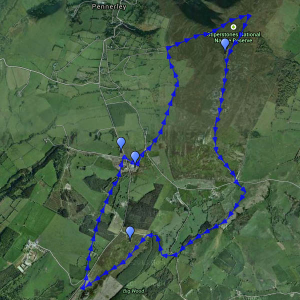
July on the Stiperstones: we were up here around this time last year, and nearly melted. Today the sky was blue, with some white fluffy cloud – and it was pleasantly cool, a great afternoon for a walk. The bilberries need a little longer, though they’re ripening nicely. The foxgloves – great clumps of them in places – are in their prime. A red kite crossed the sky, high up, with never a flap – and returned a few minutes later, performing one large circle and then away. Too far away for the camera, but good to see.

Map

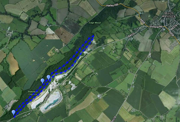
View OS map on Streetmap http://www.streetmap.co.uk/map.srf?X=336400&Y=297876&A=Y&Z=120

Pyramids

Orchids – little conical-topped ones – dozens and dozens of them. And one solitary (greater?) butterfly orchid (they’re not common). We’re walking on Wenlock Edge, the same route we followed on a misty day in February (see “A hazy day on Wenlock Edge“). It’s virtually midsummer now – no mist today, instead there’s warm sunshine, and it’s pleasant in the cool shade under the trees.

The map below is the one used in February:
today we walked clockwise – out below the edge, back along it.

MapView OS map on Streetmap http://www.streetmap.co.uk/map.srf?X=359285&Y=298596&A=Y&Z=120

Sheinton to Harley, Wigwig and Homer

Life under the edge

There’s many a double-take by passing motorists on the Shrewsbury – Wenlock road – “Did that sign really point the way to Wigwig and Homer?”. Yes, a hamlet and a small village well-hidden, despite the sign, beneath the northern end of the Wenlock Edge. This was a very pleasant circuit, starting from Sheinton, following farm lanes and tracks past Belswardyne Hall to Harley. “Look at that – the sun’s got a halo”. There’s no need to enter quiet Harley village, and it means crossing the busy A458 twice – but it saves walking beside the noisy road. The lane to Wigwig crosses what was once a ford, and probably still is in very wet weather. In Homer, we leave the road and take to fields of sheep, followed by attractive woodland beside Sheinton brook, then more fields of sheep – and we’re back in Sheinton.

Map

View OS map on Streetmap http://www.streetmap.co.uk/map.srf?X=361005&Y=302661&A=Y&Z=120

Two sunny afternoons

They’re too good to waste! Bright sunshine, fluffy clouds, not too warm – ideal for wandering.

Wednesday: To Benthall Edge and Hall (tea and cake)

Thursday: Long Mynd. A route we’ve done many times, starting from the Cardingmill valley and ascending via the Lightspout (hoardes of schoolchildren – it’s peak field trip season). Beyond the waterfall it’s quiet – just the sheep and the hill ponies to accompany us to Pole Bank. We return along the ridge to Townbrook Valley, a pleasant path to take us back to the start.

Map

View OS map on Streetmap http://www.streetmap.co.uk/map.srf?X=343005&Y=294546&A=Y&Z=120

Brown Clee from the phone box

We’ve done this one before (the phone box in question no longer contains a phone – instead, it’s now the “Little Red Book Stop”) – see “A clear day on Clee Hill” . It was clear this afternoon, warm when the sun shone – which wasn’t often, nor was it for long –  nevertheless, it’s a good place to be.

Map

View OS map on Streetmap http://www.streetmap.co.uk/map.srf?X=359005&Y=286906&A=Y&Z=120

Sheinton Coppices

Wandering south of the Severn, through quiet woodlands and fields. The OS map defines several of the small woods as coppices, and one or two were still recognisable as such, though no recent work was obvious – unlike the extensive clearance that had been taking place at Traps Coppice. A small herd of wild deer grazed on the hillside just to the north of Farley Coppice – if they had seen us, they weren’t concerned. The rabbit saw us eventually…

Map
View OS map on Streetmap http://www.streetmap.co.uk/map.srf?X=362460&Y=303461&A=Y&Z=120

Packetstone and Ashes

Having made a plan, one should adhere to it… This walk was going to be “Callow Hollow and…”, but when we’d followed the route through the plantation to gain access to Callow Hollow, we looked at the descent, then looked at the steep but inviting ridge ahead – and continued up the hill instead. The good path which we joined on reaching the plateau gradually fizzled out, and we eventually gained the road after struggling through tussocky heather. There is, of course, an excellent track on the southern flank of Packetstone Hill, but I’d forgotten about it…

We had debated leaving jackets in the car – although the air was cold, the sunshine in Little Stretton was comfortably warm. We got this decision right – we were glad of them on top where, when the sun dodged behind the clouds (few and far between) the breeze became a bitter wind. Dropping down into Ashes Hollow, we were out of the wind, and the late afternoon sunshine was very pleasant.

Map

View OS map on Streetmap http://www.streetmap.co.uk/map.srf?X=342505&Y=292436&A=Y&Z=120

A breezy day on Brown Clee

Saturday afternoon:  we started out up the eastern slopes, where woodland (despite recent felling) and the hill itself were sheltering us from the breeze. On top, that breeze was an icy blast – what a contrast after a balmy Friday evening. The view to the west was extensive – the Brecon Beacons clearly defined to the south-west, some 55 miles distant according to the toposcope on Abdon Burf – but we didn’t stay long, cutting back through the woodland edge at the col. Once we were just a few feet lower, in the lee, it was a warm and pleasant afternoon again – perfect for wandering slowly down through the estate and back to the car.

MapView OS map on Streetmap http://www.streetmap.co.uk/map.srf?X=359915&Y=286471&A=Y&Z=120