Rubha nam Bràithrean

“Brothers’ Point”, in other words. Who were they? – the sign offers more questions than answers. It’s Friday 13 October – we’re at our northern office, during a particularly stormy spell. Next week we’ll have Ophelia to contend with; today, just a strong and blustery wind. We thought it might be reasonably sheltered down here. It wasn’t too bad on the shore, but it was very difficult to hold the camera steady at times (a common theme for this trip).

Rubha nam Bràithrean is becoming popular with the minibus tours during the season, but today we’ve got the place to ourselves and one or two small birds (and a couple of seals who peer out of the water from time to time). We won’t stay long – can’t get past the stream, which usually flows under the boulders, and showers are threatening.

View OS map on Streetmap http://www.streetmap.co.uk/map.srf?X=152103&Y=862681&A=Y&Z=120

Tackeroo toadstools

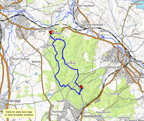
Wednesday: We’re walking the track of the Tackeroo today. The reason for the name is lost in obscurity; the track is that of the WW1 military railway built to serve camps on Cannock Chase – lifted soon after the war ended. Substantial parts of the network of lines remain as very pleasant footpaths across the moorland – along one stretch, there seem to be regular indents at right angles to the path, about as far apart as the line’s sleepers would have been. Surely not, after nearly 100 years?

Today’s weather is dull – grey and hazy – and the colours in the leaves have yet to develop. The Tackeroo toadstools are doing really well though, especially the fly agaric (“Flying Eric”, as my nephew once misheard). Sadly, many beside the path have been kicked and broken – whoever would want to do that?

View OS map on Streetmap http://www.streetmap.co.uk/map.srf?X=398595&Y=318041&A=Y&Z=120

Cleehill Curiosities

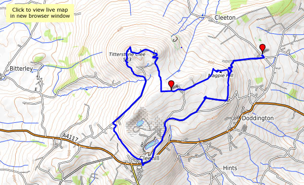
Tuesday: We’re exploring in the southern part of the Clee hills – Magpie Hill and Titterstone Clee, and Clee Hill itself (Cleehill – all one word – is the village). The curiosities are many, not all easily explained. Who would think to name a place “Random”? Then there’s the three-forked pole – shropshirehistory.com quotes a map of 1571 which described it as a “A fforked pole neare to a place whence on old Stone Crosse stood formerly”. Those space-age mushrooms on Titterstone Clee (there was once a rocking or “teetering” stone) are not quite what one would expect, though, visible from miles around, they aren’t really unexpected. But those brick-built figures of eight – what were they for?

View OS map on Streetmap http://www.streetmap.co.uk/map.srf?X=360620&Y=276671&A=Y&Z=120

Parasols and sombreros on Brown Clee

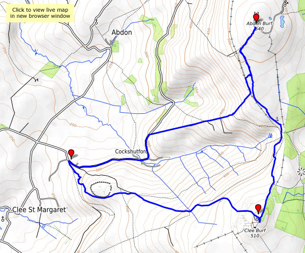
Not just parasols (one of which looks more like a sombrero), though their size makes them rather obvious – there are all kinds of fungi up on Brown Clee at this time of year, from the mundane to the weird and wonderful. It’s a very pleasant afternoon to be out on the hill – barely a breeze at first, with a blue sky and white fluffy clouds. Later, the sunshine becomes rather watery, but it stays dry, and the light’s just right for those monster mushrooms as we return to the car.

View OS map on Streetmap http://www.streetmap.co.uk/map.srf?X=358940&Y=285446&A=Y&Z=120

Welcome visitors

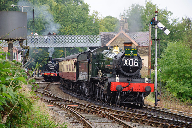
They’re always welcome when they’re visitors to the Severn Valley Railway. The railway held its autumn gala this weekend, and during four most enjoyable hours (it certainly didn’t seem that long) at Highley, I met them all. More photos and (fairly) full details in due course, on Geoff’s Rail Diaries – in the meantime, here are the celebrities…

The view from Haughmond Hill

…is tremendous – a wide panorama taking in the Wrekin and Wenlock Edge, the Clee and Stretton hills, the Stiperstones and Breidden, the Berwyns and, in the far distance, mid-Wales peaks. Is that Cader Idris on the horizon? It’s far too good for a hill that needs no climbing – it must be very gently uphill from the car park, but we’re not going to have to stop to get our breath back…

There’s a little snack bar back at the car park, which closes about 5 minutes before we arrive back at the car. Next time perhaps?

Haughmond Hill (Forestry Commission)

View OS map on Streetmap http://www.streetmap.co.uk/map.srf?X=354250&Y=314018&A=Y&Z=120