Wroxeter (or Viriconium) was a Roman city, the fourth-largest in Britain. The remarkable ruins date back to those days, but across the road to Wroxeter village is a much newer Roman structure – the town house built for a Channel 4 TV programme. Just a mile or two to the east, the Wrekin looks on indifferently. It’s seen it all.
Author: geoffspages
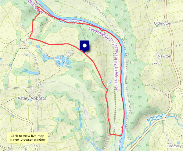
The riverbank and Colemore Green
The sunshine is rather warm this afternoon. Some shade would be good: there’s not a lot of it along the riverside path, but it’s very pleasant down by the river, though we’re not alone. There are people in inflatable rubber boats making their way downstream, and there are ducks and geese in the water. There’s the odd cyclist (I probably mean “the occasional cyclist”) on the old railway track, where it’s shady and cool in the deep rock cutting. There’s no-one else on the path back up to Colemore Green – this is a quiet corner of the world.
View OS map on Streetmap http://www.streetmap.co.uk/map?X=371620&Y=296675&A=Y&Z=120
Return to Aberdare…
… and Merthyr, and a trip to Treherbert: Wednesday 7 May. Last time I rode on a trains from Cardiff to Aberdare, there was still coal traffic on the branch (it didn’t last much longer), and we travelled in one of the dreaded ‘Pacers’ (it wasn’t that bad – but it was rather basic).
The lines up the valleys have since been taken apart and put back together, more or less, since that trip just nine years ago. We travelled on new electric trains, running mostly ‘under the wires’ but at times on battery power, through some very fine new stations (and some older ones). Truly a quality experience (even if the Treorchy schoolchildren were rather noisy! We should have caught a later train from Treherbert)
A full(ish) illustrated account will appear on Geoff’s Rail Diaries in due course; meanwhile, here’s a taster:

From Shirlett to the Smithies
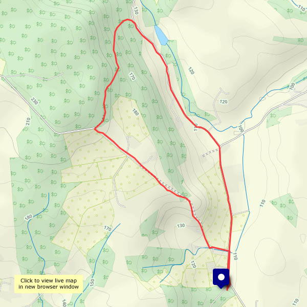
An old favourite, perfect for a fine afternoon. There’s a cool breeze, though the trees provide some shelter and the sun is warm when it shines. There’s a bright yellow chicken in a old oak tree, the robins are singing ferociously and there’s a red kite wheeling in the distance, nicely caught in the sunlight.
View OS map on Streetmap http://www.streetmap.co.uk/map.srf?X=366240&Y=297950&A=Y&Z=120
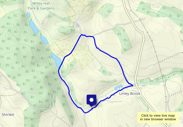
Late sunshine
We’d had enough of domestic/garden duties by about 3.30 – which is when we realised that the sun had come out after a mostly-grey day. A quick wander around the Willey lanes should be good…
View OS map on Streetmap http://www.streetmap.co.uk/map?X=367515&Y=298310&A=Y&Z=120
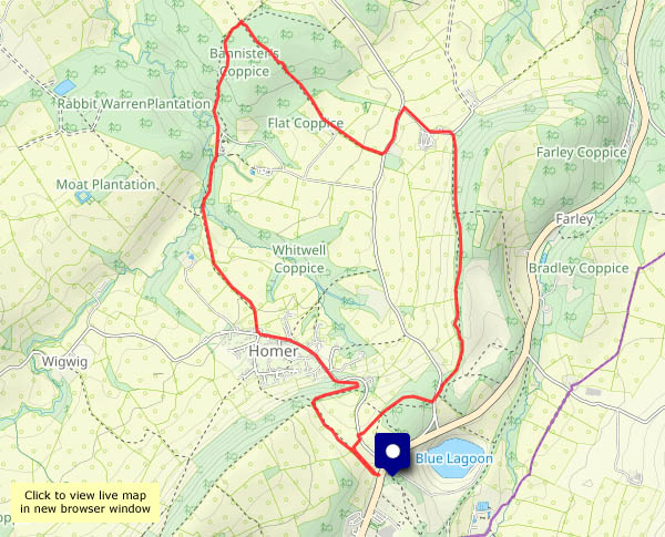
May: Seven Springs and Bannister’s
Ne’er cast a clout…
…till May be out. Does it refer to the month or the hawthorn blossom? There’s plenty of the latter (a pleasant perfume in the air), and though the temperature is comfortable, it’s no more than that (and certainly cooler than the past two days). Wait until June, in other words!
View OS map on Streetmap http://www.streetmap.co.uk/map?X=361910&Y=302130&A=Y&Z=120
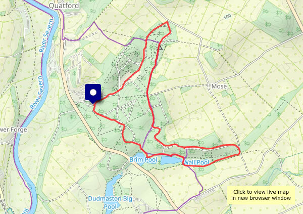
Cool in Comer Woods
A day of still air and strong sunshine – it’s going to be warm this afternoon. Comer Woods should be ideal. It’s very pleasant here under under the trees and beside the pools, and it’s fairly quiet today. A cold drink at the cafe might have been a perfect end to our wanderings, but it closes at 3pm – abut a minute before we got there, in other words…
The car said the air temperature was 25C as we approached Bridgnorth, on our way home. It won’t last…
View OS map on Streetmap http://www.streetmap.co.uk/map?X=375015&Y=290080&A=Y&Z=120
Not Hurst Farm and Aldenham
There were cows in the field (bullocks, I realised later), and one of us wouldn’t enjoy that part of the walk, especially as we’d have to pass them in both directions, at the start and end of our outing. So, without moving the car, we’ll turn through 180° and do the Round Hill / Ned’s Lane / Smithies walk (very pleasant it is too, on this warm afternoon).
View OS map on Streetmap http://www.streetmap.co.uk/map?X=367105&Y=297455&A=Y&Z=120
Lazing around Ludlow
It’s a warm and sunny Sunday, and we’re not feeling overly energetic. We’ll have a ride down to Ludlow, to walk down through the town (it’s very busy!) and over Dinham Bridge to the path leading back to Ludford Bridge. Back up Broad Street for a last look in the centre, then home again.
View OS map on Streetmap http://www.streetmap.co.uk/map?X=351025&Y=274430&A=Y&Z=115
Garlic
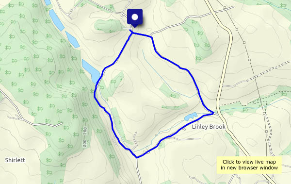
An evening wander; another seasonal landmark. The wild garlic has been flowering here and there for a week or so, but not sufficiently for the nose to detect. Now there are carpets of white beside Linley Brook, and we don’t need our eyes to know it…

View OS map in Streetmap http://www.streetmap.co.uk/map.srf?X=367470&Y=298250&A=Y&Z=120