Taking flight…

Sunday 24 April 2016: let’s step back just over 12 months: “He’s sent us vouchers for a helicopter trip!”. The facial expression said it all – I think she nearly took flight there and then… With a busy summer ahead and lots of unknowns, we didn’t get round to redeeming them until the autumn. The first booking was cancelled due to the weather – as was the second, and the third, and… (it’s reassuring really). Eventually, we made it, and with plenty of time to get used to the idea, “we” were quite looking forward to the flight. “Is that it? It’s tiny!”. Yes, a very modern-looking (I’m no expert) little four-seater job – driver and three passengers.

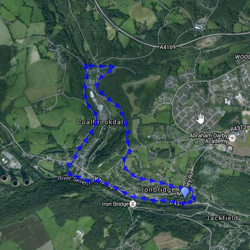
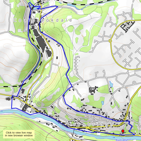
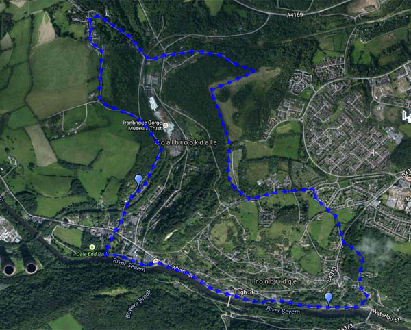
We’re flying from Halfpenny Green – “Wolverhampton Airport”, though its WW2 origins are still pretty obvious. We’re strapped in (car-type seat belts) in minutes and away – and despite the clattering of rotor blades while we waited to board, it’s quiet and peaceful (thanks partly to the headphones, I guess) – a very relaxing way to travel over the Shropshire countryside, bobbing and swaying gently in the breeze, with little sense of forward motion. First we’re heading for Bridgnorth, then turning to fly above the Severn, passing Stanley Hall, the fishing lakes at The Boldings and Apley Hall. Soon Broseley is over to our left, and in moments we’re above Ironbridge. As we pass the power station, we begin to turn back, viewing the huge bends upstream in the Severn before buzzing Benthall Hall and skirting Broseley again. Staying west of the river, we’re soon looking down on Bridgnorth, then Chelmarsh reservoir and, crossing the river, Dudmaston Hall. Not far to go now – losing height again to make a gentle landing back at Halfpenny Green. What a great trip! Many, many thanks, T. “When can we go again?” ‘Nuff said!


Telford to Ironbridge – along old lines

Monday: We’ve taken the bus to Telford town centre, and we’re walking back. For roughly half the distance (just over 6 miles in total) we’re on, or close to, the Silkin Way, which follows the track of the old Coalport railway. In places, its predecessor, the canal, is also still in water. We leave the trackbed of necessity – there’s a gap, where it used to cross the railway to Ironbridge power station – both now out of use. From this point (near to the old windmill), we’re roughly parallel to the Ironbridge line, and as we descend from Lightmoor, we join the track of an older way – one of the many pre-railway age tramways that ran in these parts. Arriving in Ironbridge, there’s time for tea and cake…

View OS map on Streetmap http://www.streetmap.co.uk/map.srf?X=369040&Y=306086&A=Y&Z=120

Scarlet, silver and gold

We’re heading for Coalbrookdale, using a path we haven’t walked before (old maps show a pre-railway age tramway following the same route) to descend from Broseley’s maypole towards the new free bridge, a modern silver-painted steel structure half a mile downriver from its more famous cousin. A ruddy stream betrays the content of the hillside, a reminder of why it all happened around here, some 250 years ago. When we reach Darby’s coke hearth, at the top of the dale, we’ll head for home – pausing only for tea and scones beside the Severn…

View OS map on Streetmap http://www.streetmap.co.uk/map.srf?X=367225&Y=303191&A=Y&Z=120

Stretching the legs: Coalbrookdale and Ironbridge

Weather, mothers, and plumbers – they’ve all had an impact on our outings recently. We needed a leg-stretch, and the field paths would be muddy, so we took to the quieter paths and lanes away from the wharfage for a wander on a mild November afternoon.

Map

The above is last month’s map – today we walked it anticlockwise… View OS map on Streetmap http://www.streetmap.co.uk/map.srf?X=367255&Y=304041&A=Y&Z=120

Autumn in the dale

That’s Coalbrookdale – and Ironbridge – a good place for a pleasant walk on a sunny afternoon, after a couple of rainy days. There’s no shortage of visitors in the vicinity of the bridge (it is half-term week, after all), but away from the bridge it’s quiet. The leaves are coming down rapidly now – the trees will soon lose their colour.

opentopomap.jpg

View OS map on Streetmap http://www.streetmap.co.uk/map.srf?X=367255&Y=304041&A=Y&Z=120

Better weather

It’s grey and damp today – but Friday and Saturday afternoons were positively springlike. There are few signs of spring, but the air is warmer, the breeze less biting. Friday’s wander was around Coalbrookdale, up and down through the woodlands. Yesterday was Wenlock’s turn, heading through the town, up past the windmill and along the edge.

Coalbrookdale:

Much Wenlock and the edge:

Spring in the air

It’s been cold and showery recently, but today the temperature made double figures, and the Met Office reckoned it wouldn’t rain before four o’clock. We’d better get out and stretch our legs. Considering that the walk began at Bedlam (the old furnaces beside the Severn), it was quiet in south Telford. We crossed the hill west of Woodside and descended (a little) to the coke hearth, before heading up to Sunniside, returning to the dale past the assorted livestock at the farm – donkeys, llamas, ostriches and geese (and possibly more). We’re heading for the tea room beside the old railway station (excellent cakes – worth hurrying to get there before they close at 3pm). Suitably refreshed, we follow the riverbank back to the car.

Map

View OS map on Streetmap http://www.streetmap.co.uk/map.srf?X=367415&Y=304216&A=Y&Z=120