November on Clee Hill

One of those rare afternoons when the sun shines from an almost-cloudless blue sky. It’s cold, and there’s a chilly breeze on top, but it’s a great day to be out on the Shropshire hills.

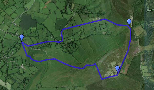
I’d include a map of the route, but Google have introduced “new My Maps. Better tools for mapping”. ’nuff said.
9 Nov: I’ve been trying Scribblemaps – see below

Map

Or view OS map on Streetmap http://www.streetmap.co.uk/map.srf?X=358500&Y=284901&A=Y&Z=120&ax=358625&ay=284851


The Toot and Clee Burf

No, we’re not in far-flung foreign parts! Clee Burf is the southern summit of Shropshire’s Brown Clee, and the Toot? That’s how it’s labelled on the OS map, but why is anyone’s guess. It’s a quiet bit of scrubby hillside on the southern flank of the hill. This was a pleasant walk – a fine afternoon, with air washed clean by yesterday’s rain, and a fresh breeze – perfect! An easy ascent takes us past Nordy Bank hill fort, and the heather is in bloom on the higher ground. There are one or two other walkers out; we didn’t count them, but we’re talking in single figures. No tea rooms or ice-cream vans on Brown Clee – could that be why?

Titterstone Clee and Croft: a day of two halves

Tuesday: We’ve had a very pleasant overnight stay in Ludlow, and now we’re looking for some not-too-energetic entertainment – it’s a warm morning, though the weather is gradually changing. The view from the top of Titterstone Clee could be good, and it’s a gentle stroll up from the car, parked on the old quarry level (it was, and it was…).

The tea-room at Croft Castle would be good for a lunch break – afterwards, we would walk up to Croft Ambrey, where the hill fort provides fine views of the Welsh border hills. The chestnuts in the park are increasingly decrepit;  replacement saplings grow nearby. We’ll return to the car by the wooded Fishpool Valley. There’s not much water in the pools – I suspect that’s going to change over the next couple of days.

Croft Castle and Parkland NT