
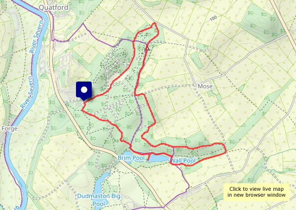
A fine afternoon in a quiet part of the county – starting from the end of the Hurst Farm lane, we’re heading up Round Hill, down Ned’s Lane and around the Willey loop. We’ll start with the cows – the Round Hill belties – and end with sow thistle and cow parsley…


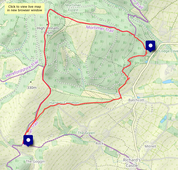
View OS map on Streetmap http://www.streetmap.co.uk/map?X=367585&Y=297825&A=Y&Z=120


")
")


")

")


")


")


")


")

