Flowers before leaves… Another welcome sign of spring beside the quiet paths and lanes near Colemore Green


")


View OS map on Streetmap http://www.streetmap.co.uk/map?X=371002&Y=296897&A=Y&Z=120

Flowers before leaves… Another welcome sign of spring beside the quiet paths and lanes near Colemore Green
View OS map on Streetmap http://www.streetmap.co.uk/map?X=371002&Y=296897&A=Y&Z=120
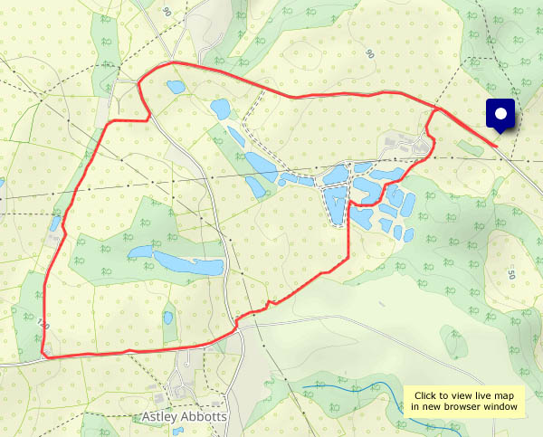
Last week we were admiring the tree lungwort at Uig. We’re back in Shropshire, which isn’t a temperate rain forest, but beside the lane around Willey, there’s a more colourful plant, unrelated but also known as lungwort. Further back along the lane, we’ve spotted some toothwort, a curious parasitic plant. It’s not pretty!
The weather down here has been drier recently – the fields and lane are not quite so soggy as they were just a couple of weeks ago. Not complaining!


View OS map on Streetmap http://www.streetmap.co.uk/map?X=367515&Y=298310&A=Y&Z=120
Mon 10 March: Homeward bound – we’ll be on the 20.45 train from Inverness tonight, and we really don’t want to miss it. We’ve a hire car to drop off too. It’s a fair distance from the north of Skye to Inverness – about 140 miles – let’s get close to Inverness and then we don’t need to worry about time. The result is, of course, that we’ve time to kill – we’ll visit Chanonry Point, that remarkable shingle spit at Fortrose on the Black Isle.
Chanonry is noted for spotting dolphins and the like, but casual visits don’t usually yield results. It’s an interesting place though – perhaps a mile distant across this narrowing of the Moray Firth is Fort George. To the south-west Inverness is barely visible in the haze, though the Kessock Bridge is prominent when it catches the light. Soon we’ll cross it, leave the car and explore the Inverness riverside before retiring to a suitable place for refreshment – and appropriately the Black Isle Bar, with its splendid pizzas and excellent beer, proves perfect for an hour or two, before the last few steps to the station, the train and the overnight ride home.


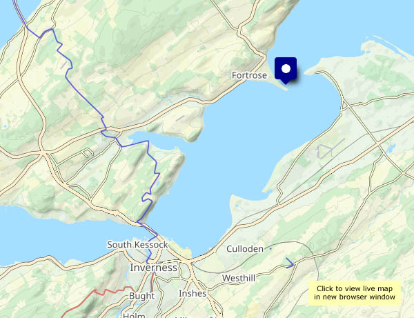
View OS map on Streetmap http://u.osmfr.org/m/1189278/
There’s sufficient breeze to make white waves on the black rocks of Balmacqueen, and the sun’s doing much better today… I’ve walked this way several times, but it never fails to please, with a fine rocky foreground and extensive views. To the east are the mountains of mainland Scotland; to the north-west are the rugged hills of Lewis. Between them is open sea – next stop (well over the horizon!) the North Pole…


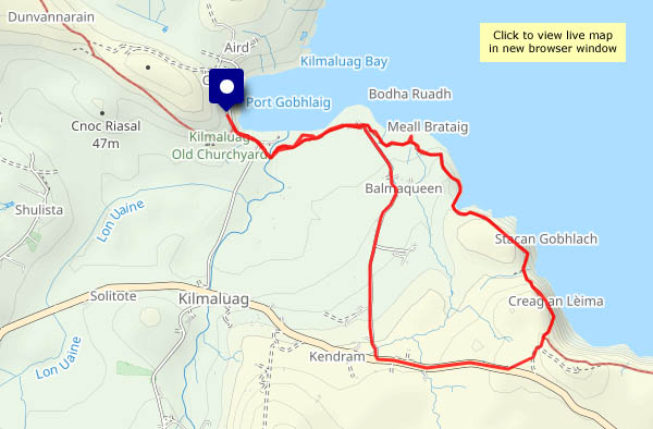
View OS map on Streetmap http://www.streetmap.co.uk/map?X=144323&Y=874438&A=Y&Z=120
It would have been, if the sun had shone… It tried, and eventually succeeded, but not until I was back from this walk up the glen of the Abhainn Hiniosdail. We’ve walked up the south side many times – a pleasant track through the community forest, with some interesting side-paths. Today I’m on the surfaced road – potentially brighter, and the views are different, but harder on the feet…


")


View OS map on Streetmap http://www.streetmap.co.uk/map?X=140929&Y=857850&A=Y&Z=120
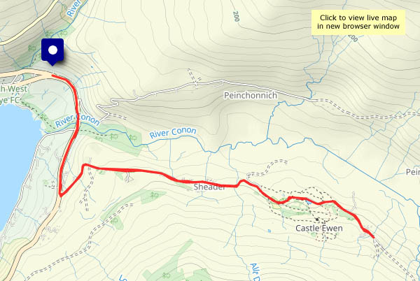
Uig: after two days of rain and strong winds, there’s a dry afternoon in prospect. The southerly wind’s still quite strong – mid-40s mph – so some shelter would be good, as would a dry surface to walk on. The Fairy Glen! I was reluctant – last time I was here it was crawling with visitors, but it shouldn’t be too bad in early March. (It wasn’t – a few others, all heading for Castle Ewen, were easily avoided). Fairies notwithstanding, Glen Conon is an attractive and peaceful valley, with some magnificent waterfalls on its northern slopes.
As I set out, the ferry was docking at Uig pier. When I next overlooked the bay, on my way back, it was just rounding the headland on its way out. Nice timing for a most enjoyable outing!


")


View OS map on Streetmap http://www.streetmap.co.uk/map?X=140673&Y=863556&A=Y&Z=120
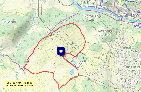
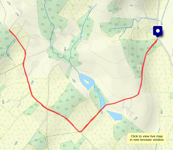
Another fine, sunny and springlike afternoon – and a walk from Benthall Hall, via Posenhall and Wyke, to the Benthall Edge woods.


View OS map on Streetmap http://www.streetmap.co.uk/map?X=365710&Y=302460&A=Y&Z=120
It’s a fine sunny day too. Not that there are many signs of the changing season. No daffodils for St David’s day. No new green on the hawthorn either, but there’s dog’s mercury beside the old railway track (it’s not very photogenic). Leaving the railway, we walk up through Chestnut Coppice, where the bluebell leaves are emerging. There’s much evidence of December’s storm Darragh – many fallen trees. At least the path has been cleared.


View OS map on Streetmap http://www.streetmap.co.uk/map?X=371930&Y=296550&A=Y&Z=120
Last day of winter, according to the Met. Office. Spring may begin tomorrow, but there’s less sign of it than at this time in the last few years, and it’s cold out of the sunshine. It will be St David’s day too, but the daffodils will have to get a move on. There’s plenty of blue sky though, and big white fluffy clouds, one of which seems to be shading us for most of our short walk along Shirlett Lane. Good to be out though, and greatly preferable to rain and murk!


View OS map on Streetmap http://www.streetmap.co.uk/map?X=365920&Y=298080&A=Y&Z=120
We went to the local amateur dramatics group’s pantomime a few weeks ago. The undoubted star of the show (sorry, Nick!) was Lampard the staring sheep. Brilliant! Of course, since that evening, almost every sheep we’ve seen reasonably close at hand has done just that – stared blankly. Today, beside the Hurst Farm lane, they thought we might be auctioning for next year’s production.
Sheep notwithstanding, it’s a beautiful morning to be out and about. Saturday will be the first of March, the beginning of the Met. Office’s spring. The air temperature’s not so sure about that, but the sun is noticeably much higher in the sky than when we walked this way in mid-January. It’s a great time of year!


View OS map on Streetmap http://www.streetmap.co.uk/map?X=366690&Y=296355&A=Y&Z=120
