Ned’s Lane

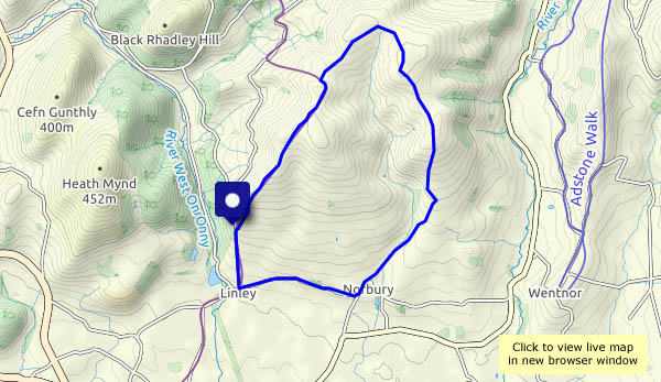
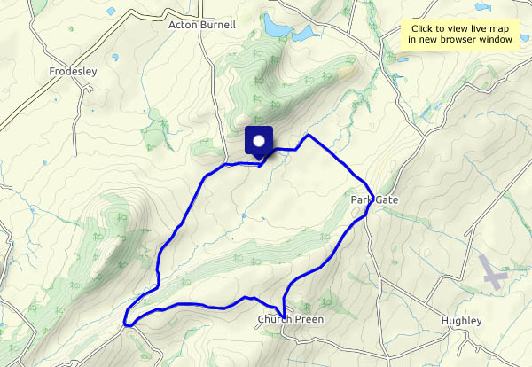
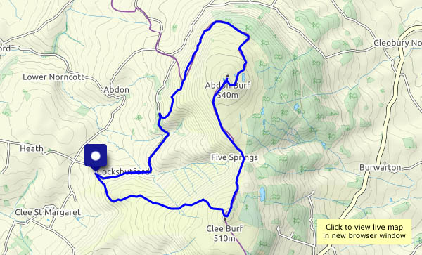
Another day of strong sunshine – it will be good to walk under the trees. “Let’s go back to Ned’s Lane”. We weren’t aware it was Ned’s Lane when we first followed this short route, but when I described it to a local friend, she said “That’s Ned’s Lane!”. It’s not an official name – “He was my grandfather,” (or was it great-grandfather?) “he lived there once, in a little house half-way up. We’ve always called it Ned’s Lane”. There’s no sign of any building there now, and perhaps the forest hadn’t been planted when Ned was in residence, but what a place it must have been!

View OS map on Streetmap http://www.streetmap.co.uk/map.srf?X=367107&Y=297480&A=Y&Z=115

Late May by Coundmoor Brook

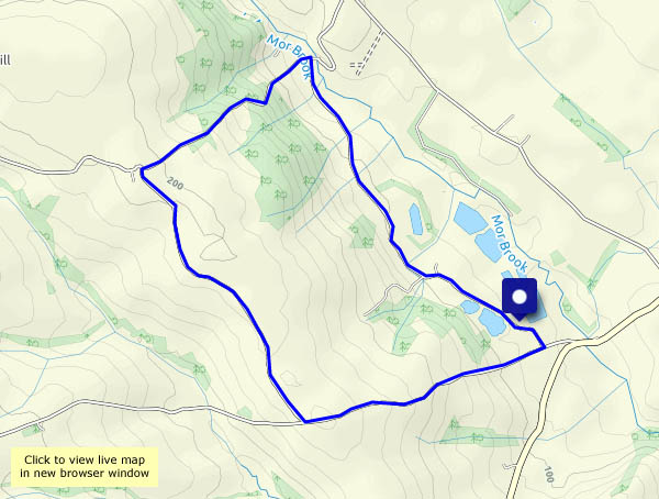
Following in our own footsteps: we walked this way in November 2018 (see “By Coundmoor Brook“). It was an autumnal world on that day, with the sun nearing the horizon as we returned to the car. On this warm May (bank holiday – we passed four other people out walking!) afternoon, we’re in a very different world, where the wooded valley provides some welcome shade.

View OS map on Streetmap http://www.streetmap.co.uk/map.srf?X=355905&Y=304091&A=Y&Z=120

To the Munslows again

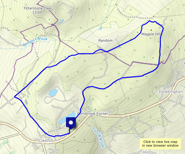
It’s an old favourite – from Aston Munslow, up onto the Wenlock Edge, down the lane to Munslow and back across the fields. It’s a widely-varying scene as we walk, through sheep pastures and arable fields, quiet rough tracks, the wooded Edge – and a bit of bedrock on the little sunken lane taking us down to Munslow. The day improved – rather grey and flat at the start, clear skies and warm sunshine at the finish. Quiet too – just three other people in five miles. Perfect!

View OS map on Streetmap http://www.streetmap.co.uk/map.srf?X=351335&Y=287850&A=Y&Z=120

Buildwas Park

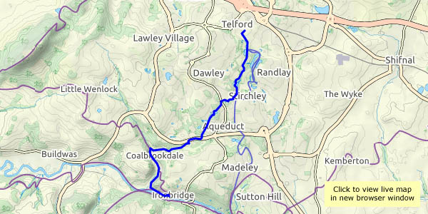
Not a walk in the park! It’s an easy wander around (outside?) the perimeter of this estate, apart from a short stretch along a main road, and other than the numerous drivers on that 1/3 mile, we saw no-one else. No shortage of squirrels in the woods, though, and almost continuous birdsong… Most enjoyable!

View OS map on Streetmap http://www.streetmap.co.uk/map.srf?X=362890&Y=303355&A=Y&Z=120

Round Hill

A very short (2.3 miles) and pleasantly shady walk – it’s warm and sunny! – up the leafy track past Round Hill to the Shirlett plateau, and down again through the forested hillside. Is that rustling a blackbird? No, it’s a small deer, perhaps 2-3 metres away, fairly well hidden – so no photos – in undergrowth beyond the fence. It’s sensed our presence, and is gone – no hurry, but it’s soon out of sight. We return to the car along the quiet road through the Smithies. Everyone else (perhaps half-a-dozen) is riding a bicycle. Have we missed something?

View OS map on Streetmap http://www.streetmap.co.uk/map.srf?X=367107&Y=297480&A=Y&Z=115