The far north

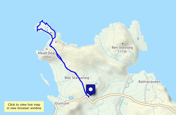
Sunday 30 May: Rubha Hunish, Skye’s northernmost point – a great place to be, especially if I get there before the others… I’m walking by 9.30, and there’s hardly anyone else about. I pass three, then two more people – they’ve been staying overnight in the bothy, the former coastguard lookout on Meall Tuath, which overlooks the little Hunish peninsula. Am I alone now? No – as I descend the precipitous path down the cliff face, I hear voices. Four people appear to have just reached the foot of the cliff path – I can only just see them, but one particularly strident voices carries clearly. (Why do people so carelessly destroy what they, and others, have come for?).

The noisy people look as though they’ll walk clockwise around Hunish, though for now they’re lingering on the shore. I’ll walk anticlockwise – that way, they won’t be in earshot just ahead or behind me, apart from when we pass. Much later, I realise I never saw – or heard – them again! Did they just go back up and miss out on all the interest down here?.

There are cliffs on the eastern side, and three fine stacks – then the northern tip, where I sit a while and watch the world go by. There’s a dolphin, or similar, out there, and a seal pops up for a moment. Then HMS Lancaster sails by…

All too soon I’m back at the top of the cliff path, looking back. One other person has just descended – now they have Hunish to themselves. Crossing the moor on the way back, a few others pass, heading for the clifftop. I’ve timed it right today!

View OS map on Streetmap http://www.streetmap.co.uk/map?X=141565&Y=875652&A=Y&Z=120

Sneosdal and a wet moor

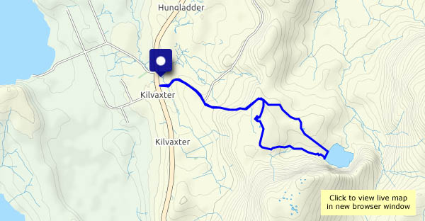
Saturday 29 May: On my own again today, avoiding the crowds by parking near the Kilmuir village hall and walking across the moorland to Loch Sneosdal, a quiet stretch of water tucked below dark crags, not visible from any road. Heading back from the clear waters of the loch, my eye is caught by pools atop the moorland to the south of the usual route. In a reversal of the normal sequence of events, the sun comes out as I approach them – wonderful!

View OS map on Streetmap http://www.streetmap.co.uk/map?X=139879&Y=869983&A=Y&Z=120

Staffin strolling

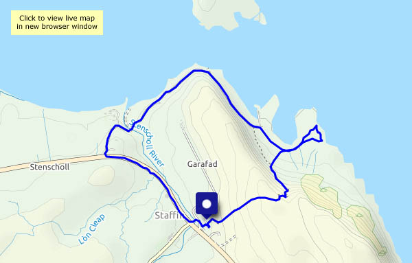
Friday 28 May: an enjoyable short stroll around Staffin. Starting from Columba 1400, we take the path over the moor, past the chambered cairn and down to the rocks south of the slip. The beach and slip are fairly popular, but hardly anyone explores beyond the latter. After watching the waves for a while, we continue past the slip and the beach towards Quiraing Lodge (‘Staffin House’ on old maps), then back beside the main road and the highland cattle.

View OS map on Streetmap http://www.streetmap.co.uk/map?X=148838&Y=867786&A=Y&Z=120

Loch Cuithir

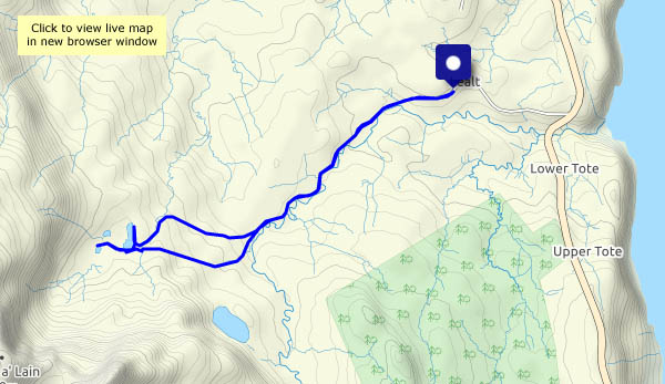
Thursday 27 May: Skye’s Trotternish peninsula is firmly on the selfie trail – perhaps six miles to the north, as the golden eagle flies, there are hundreds of people milling around at the Quiraing (I’ve just driven over the road from Uig – there must have been 120-150 cars parked at the top of the pass), and three or four miles to the south, a similar number will be trying to enjoy the spectacle of the Old Man of Storr. Loch Cuithir is almost deserted – I saw just one other person in the two-and-a-half hours I was walking. He looked like a local, with a sheepdog, driving slowly in a van along the very rough track.

The bed of the loch was a rich source of diatomite, a form of silica with a honeycomb-like structure having a wide variety of industrial uses. It was worked commercially around 100 years ago – a 2-foot gauge railway was used to take the raw product to the shore at Lealt where there were processing facilities. Although long-disused, the trackbed of the old railway is still visible along most of its three mile length, and though boggy in places it is walkable (I walked most of the way along the road/track, using the last mile or so of the old railway to reach the loch. It would have been very slow going to walk it the whole way). One or two small bridges have gone – some rails remain in their vicinity, well-rusted. The loch itself lies below the spectacular peak of Sgùrr a’ Mhadaidh Ruaidh – the Peak of the Red Fox.

View OS map on Streetmap http://www.streetmap.co.uk/map?X=149514&Y=860166&A=Y&Z=120

Bornesketaig coastline

Tues 25 May: a good leg-stretch after yesterday’s fun – a walk through Bornesketaig to the clifftops, following them westwards to look down on the Uamh Oir (a cave of gold!), then along the shore to Camas Mòr. There’s a towering bank of cloud over Lewis and Harris, but here the skies are blue. We’ve left winter behind!

View OS map on Streetmap http://www.streetmap.co.uk/map?X=137825&Y=870862&A=Y&Z=120

The muddy Severn

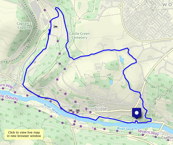
The Severn is always cloudy by comparison with, say, a chalk stream, or the peaty waters of a highland glen, but at present they’re muddier than usual – must be all the rain… Speaking of which, it was supposed to rain all day, but we found a likely dry spell in the forecast, and enjoyed this short walk from Bedlam furnaces (car parking) up and over the hill to Coalbrookdale, and back through Ironbridge. On the riverbank is the shed where (we remember him well) Eustace Rogers used to build his coracles. Sadly ‘Eusti’ was the last of his line, and the shed is now a tiny museum, which can only be visited by peering through the glass window. Just below the world-famous Iron Bridge, here’s another fascinating little bit of history on an altogether more human scale.

Tributes paid to coracle man BBC News 10 February 2003

View OS map on Streetmap http://www.streetmap.co.uk/map?X=367490&Y=304005&A=Y&Z=120

Willey and St Leonard’s

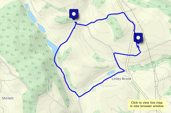
Starting from Willey (where the village hall’s new roof looks truly splendid) we’re heading up Scots Lane and down to St Leonard’s church at Linley, a quiet spot amongst the trees and bluebells. The sun’s gone behind the clouds as we return through Linley Brook, but it’s soon shining again. Raindrops land heavily minutes after we arrive home…

View OS map on Streetmap http://www.streetmap.co.uk/map?X=367870&Y=298325&A=Y&Z=120
Showery Shirlett

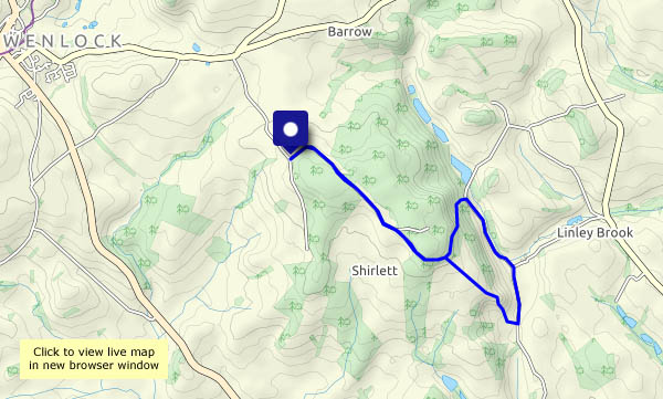
We walked this way exactly a month ago, on 17 April, in fine spring weather. Today, the weather is showery (yet again!), and some of the showers could be heavy. Our jackets are waterproof, and a cap will keep me dry on top, if the worst happens. It doesn’t, fortunately, and near the top of Round Hill, feeling warm, I take it off. We’re rewarded within a minute or two by a brief light shower of soft hailstones, which stops when I put the cap back on. Must take it with me more often!

View OS map on Streetmap http://www.streetmap.co.uk/map.srf?X=366240&Y=297950&A=Y&Z=120

Harton Road

We’re walking along the Harton road from Ticklerton, passing along the way the site of Harton Road station. The railway closed almost 70 years ago – but there’s the old station, just visible through the trees, looking well-maintained and well-loved. From Harton, we’ll head towards Eaton, passing early purple orchids and a pair of gobbling turkeys. Crossing under the route of the old railway again, the sky behind us is looking ominous – and then there are a couple of deep rumbles of thunder. We’re almost back at Ticklerton – will we stay dry? Yes, we made it! (One of these days we’re going to get soaked…)

View OS map on Streetmap http://www.streetmap.co.uk/map?X=349145&Y=289830&A=Y&Z=120

A green world

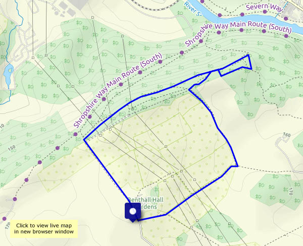
It could rain this afternoon: it’s trying to rain as we put our boots on, but it should only be light – we could stay dry. As we leave the car, a few drops are falling, but by the time we’re in the woods, it’s stopped. Nevertheless it’s damp underfoot, and everything is moist, rain-washed – and green! In the woods on Benthall Edge, the world is green – it’s a great place to be.

View OS map on Streetmap http://www.streetmap.co.uk/map?X=365865&Y=302910&A=Y&Z=115

.