Pole Bank ponies and tadpoles

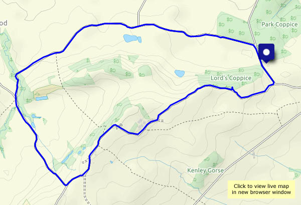
It’s not at all clear today – hazy in all directions – but it’s very pleasant walking along the top of the Long Mynd. There are others around, but only one other person at Pole Bank, where we’ll pause for a while to enjoy the (somewhat limited) view. There seem to be more ponies than usual – there are a couple of foals (one of which looks very young) so perhaps that explains it. And there are tadpoles in the pond!

View OS map on Streetmap http://www.streetmap.co.uk/map?X=342535&Y=295210&A=Y&Z=120

Fried eggs and umbellifers

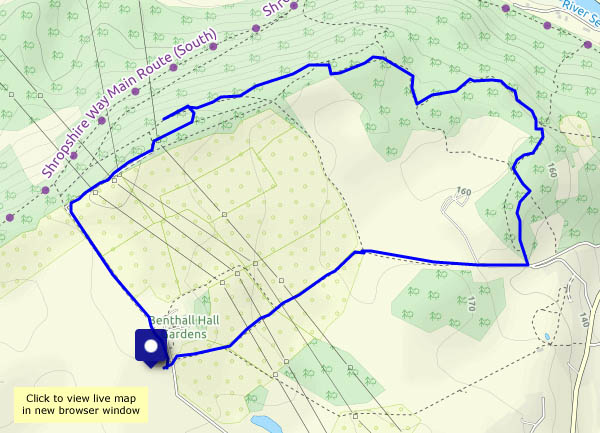
It could rain – we might need an umbellifer… No shortage of them, of several varieties, in the lanes today. Lots of fried eggs in the hedgerow too (I think perhaps they may be wild roses…). A walk around the lanes from Willey, including Round Hill and Ned’s Lane – a most enjoyable outing for another grey afternoon.

View OS Map on Streetmap http://www.streetmap.co.uk/map.srf?X=367580&Y=297955&A=Y&Z=120

A soft green day in border country

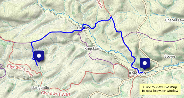
Friday 11 June: a walk from Llangunllo to Knighton, in weather that makes the landscape feel very soft and green. There’s dampness in the air, and for a time we have our waterproof tops on, but they’re hardly necessary. “We ought to see a red kite or two” – yes, we did! One landed on the fence, just about within camera range, and perched for a while (looking soggy and grumpy) before, with little more than a flap, gliding away, making the most of the lightest of breezes.

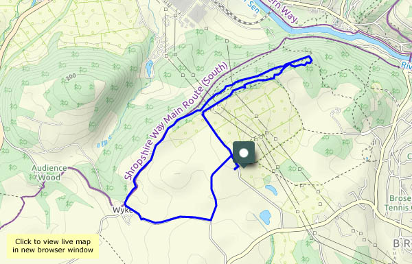
This is a walk of two halves – Wales and England (Shropshire). Knighton is a Welsh town, but its railway station is in England (just, a matter of yards). We leave the train at Llangunllo (Wales), and walk to the crest of the ridge of Wernygeufron, which descends very gently to the hamlet of Lloyney. There, we cross the river Teme to find ourselves in England again (at Llanfair Waterdine). A steady pull, steep in places, takes us up to Offa’s Dyke and another enjoyable ridge. Finally, a steep descent leads us down to the river once more. Walking downstream and eastwards, we find a sign: Croeso i Gymru – Welcome to Wales. Fifteen minutes later, a pint (of Shropshire beer, from Bishops Castle) is well-earned refreshment – croeso i gwrw! – welcome to ales…
View OS map on Streetmap http://www.streetmap.co.uk/map?X=325225&Y=273636&A=Y&Z=126

Going out on a high!

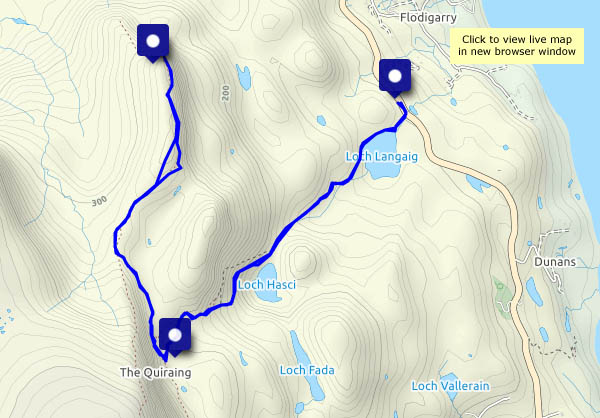
Wednesday 2 June: ‘High’ is relative – at no point am I more than 1,200ft above the sea, but the top of Sròn Vourlinn is isolated and exposed – and quiet.  For every 1,000 visitors who park at the Quiraing car park* and head this way, I suspect fewer than one comes this far. As I approach the airy overhanging ridge, there are a couple of other people, but they’ve gone within minutes, and soon I’m sitting on the springy turf surveying the scene. Once again, I’ve got a fine viewpoint entirely to myself. Tomorrow we’re heading home, by a roundabout route – this is a great way to close the Skye chapter

* I started out from the small parking area near Flodigarry, ascending past Lochs Langaig and Hasco, joining the main path amongst the spectacular pinnacles beyond the Quiraing.

View OS map on Streetmap http://www.streetmap.co.uk/map?X=145548&Y=870651&A=Y&Z=120

Uig and the Fairy Glen

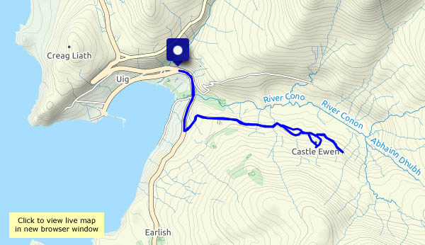
Monday 31 May: It’s firmly (and deservedly) on the tourist trail – it’s also a pleasant walk from Uig, which solves the problem faced by most visitors – where to park the car? Since our last visit, a couple of years ago, lots of new parking space has been created by the local authorities – but I think we’ll stick with the walk. The views from the road are pretty good, especially when the ferry arrives, doing an impressive hand-brake turn to tie-up and unload at the end of the pier.

View OS map on Streetmap http://www.streetmap.co.uk/map?X=140735&Y=863557&A=Y&Z=120