Harnage and Coundmoor Brook

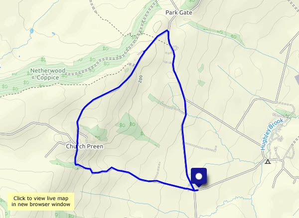
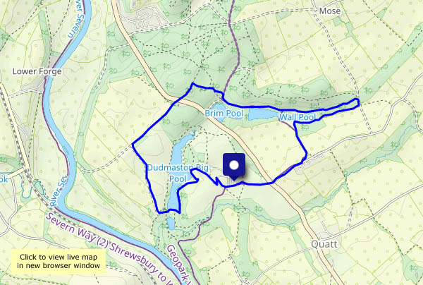
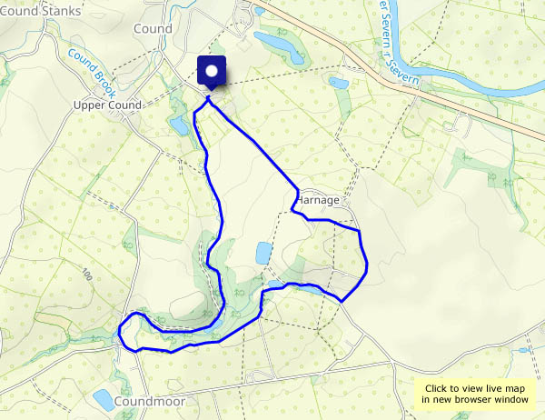
Familiar ground, but today a slightly different route: up the (very quiet) road to Harnage, go round the back by the rough lane, walk a little further along the road, then follow the footpath past the pools and beside the wood as far as the Coundmoor Brook ford. Now we’re heading back, beside the brook for much of the way. The season’s first blackberries – just a few – are ripe, but they’d been eaten before I could take a photo! The light for today’s photos isn’t exactly spectacular, but it’s very pleasant and very quiet along these byways.

View OS map on Streetmap http://www.streetmap.co.uk/map?X=355890&Y=304025&A=Y&Z=120

No rain in Rowe Lane

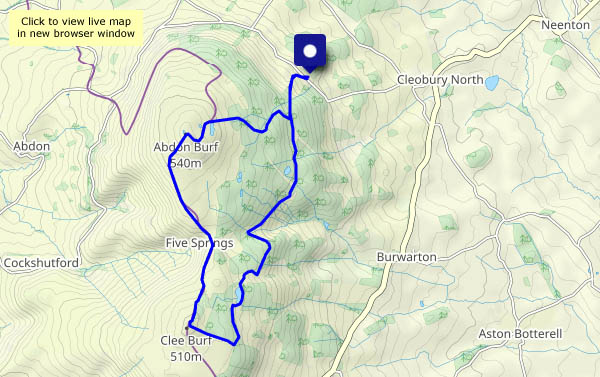
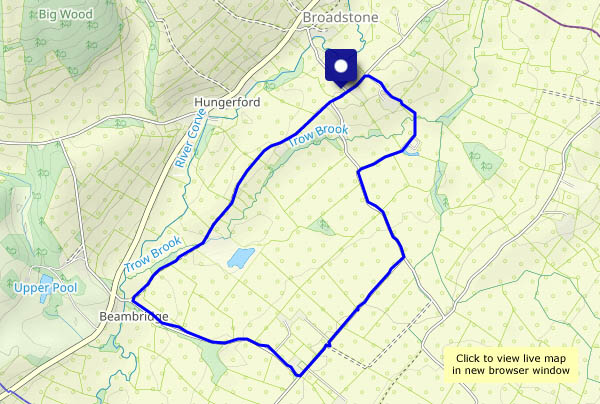
It wasn’t our first choice – but when we arrived at our intended start, there was a fine drizzle which looked likely to keep up for some time. Perhaps it will be dry on the other side of Wenlock Edge? (Perhaps Tigger’s Ickle Shop will have some cakes?) Yes! The Corvedale fields look ready for harvesting, and here and there are hints (ripening berries and a few yellowing leaves) of the autumn to come

View OS map on Streetmap http://www.streetmap.co.uk/map?X=354120&Y=288725&A=Y&Z=120


Attingham’s cool!

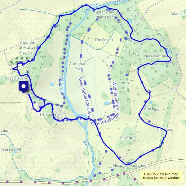
Certainly much cooler than the last few days! My last post was on Saturday – since then, it’s been too hot for outdoor activity (it’s been too hot for any activity! It’s possible that readers elsewhere in the world may have noticed that a maximum temperature exceeding 40C was recorded yesterday, for the first time in the UK). It’s barely exceeded 20C today, and a wander around Attingham Park’s parched grassland was very pleasant. The walled garden seems to have survived the heat – still plenty of colour, and some of the fruit crops look rather tempting.

Attingham Park NT

View OS map on Streetmap http://www.streetmap.co.uk/map?X=355590&Y=310167&A=Y&Z=120

Rail and riverbank

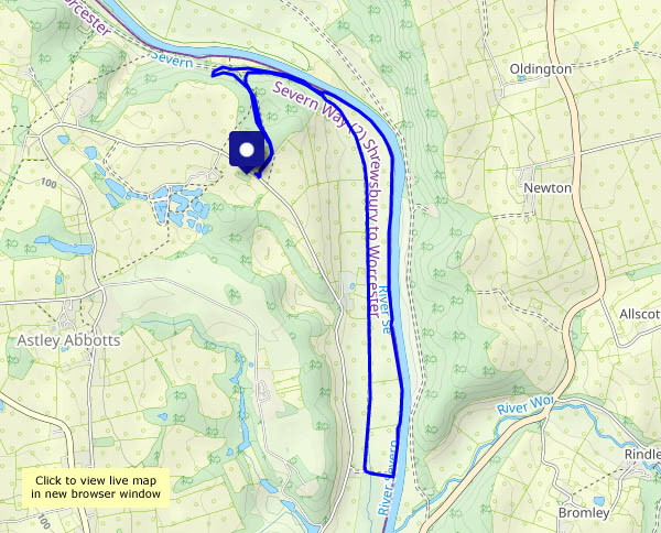
Starting and finishing through the shady Chestnut Coppice, we’re walking down the old Severn valley railway track as far as Bridgnorth golf course, then back along the riverside path. The latter follows the riverbank pretty closely, but the river is only occasionally visible through the jungle of vegetation on the bank, through the fishing access points. It’s a pleasant afternoon with a light cooling breeze; the cool air of the coppice is very welcome too.

View OS map on Streetmap http://www.streetmap.co.uk/map?X=371965&Y=296470&A=Y&Z=120

Pyramids galore

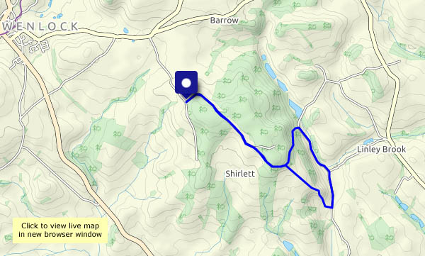
There are a dozen or more in the lane – then a few more beside the path along the Edge. After Stokes’ Barn, there are lots – count them! We’re into three figures, and then as the path opens into the field… ‘Hundreds’ will have to remain the grand total – no chance of counting them! A short, but colourful, leg-stretch on the Edge near Much Wenlock.

View OS map on Streetmap http://www.streetmap.co.uk/map?X=360855&Y=299730&A=Y&Z=115

Shrewsbury

An exploration… We start at the English Bridge and walk along the riverbank, downstream, then head back along the canal path. The canal’s long gone, but the Canal Tavern’s still there. Along the way, we pass the ‘Shrewsbury Flaxmill Maltings’ – the main building, dating from 1797, is the grandfather of skyscrapers, apparently. Passing over the railway station on the unusual Dana footbridge, we return to the riverbank, crossing the river by the Welsh Bridge and the Porthill footbridge. The Porthywaen Silver Band are playing a Welsh medley (Men of Harlech and Myfanwy, among others) at the Quarry bandstand. We move on through the quieter backstreets to return to the English Bridge and back to the car – home for tea!

View OS map on Streetmap http://www.streetmap.co.uk/map?X=349825&Y=313015&A=Y&Z=120