Rowe Lane in summer

We walked this route in early March. Now it’s almost midsummer, and what a difference! The weather’s different too – bright and breezy then, with lots of sunshine. The June sun is reluctant to come out from behind the clouds, but the hedgerow flowers are out in profusion. Despite the lack of sunshine, it’s a colourful scene

View OS map on Streetmap http://www.streetmap.co.uk/map?X=356005&Y=289605&A=Y&Z=120

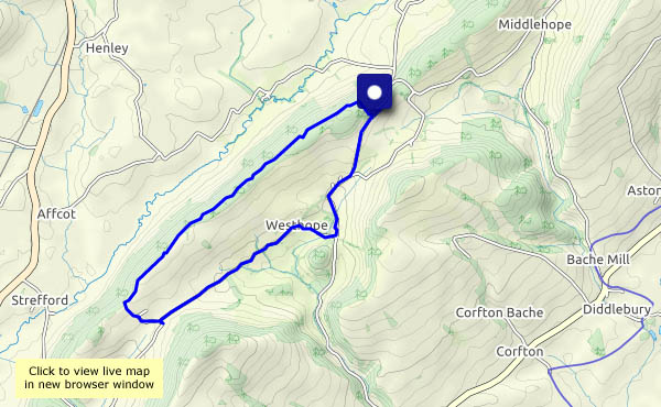
Sheinton, Homer, Wigwig and Harley

On a fine June afternoon, we’re wandering through mostly quiet places. It’s not quiet where we have to cross the busy main road, but that only takes a moment. Although we only meet one other walker, there’s no shortage of sheep (as ever in these parts), there are lots of butterflies (though only one of them poses obligingly) and a tiny vole, truly a Tom Thumb, looking rather lost in the middle of the (very quiet) lane. Once we’ve recorded his presence, we relocate him to relative safety and wander on. Hope he appreciated our efforts!

View OS map on Streetmap http://www.streetmap.co.uk/map?X=360845&Y=302615&A=Y&Z=120

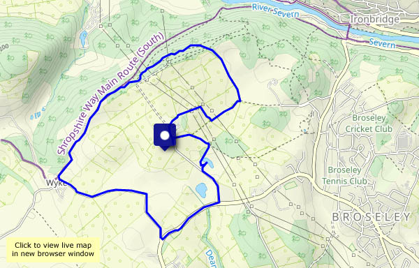
Breezy on the Mynd

The sunshine is warm, but there’s a stiff breeze, which makes for a very pleasant day on the Shropshire hills. There are ponies in abundance, a red kite in the distance and canada geese in the pools behind Pole Cottage. And after all that excitement, we’re still in plenty of time for the tearoom in the Carding Mill Valley. What more could one want?

View OS map on Streetmap http://www.streetmap.co.uk/map?X=343240&Y=294465&A=Y&Z=120

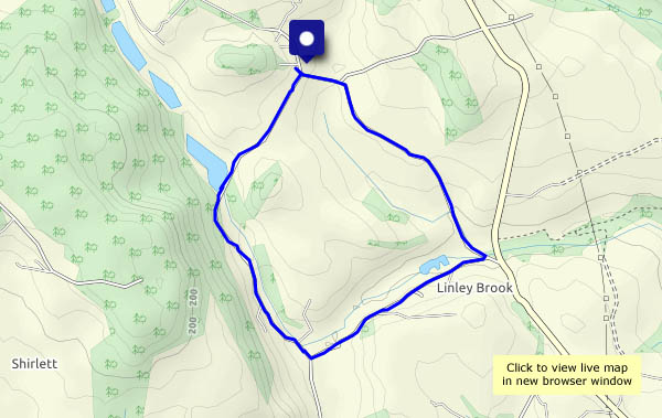
Hinnisdal forest roads

27 May – last day on Skye. It rained all day yesterday – heavy blustery showers, of the kind which seem to ‘merge into longer periods of rain’, as the Met Office likes to put it. Today will be altogether quieter – the wind has dropped, and I’m heading for gentler scenery, as seen from the forest road in Glen Hinnisdal. That should be ‘roads’, plural – at the start there are paths leading off to left – ‘Rathad na t-aibhne’ (river road) – and right ‘Rathad an t-seann bhaile’ (old town road). We’ll head for the old town (a few stones in the forest!) before wandering up the glen for a mile and back again, this time taking the river road to visit the magnificent falls on the abhainn Hiniosdail. Very pleasant, and definitely quieter – but there’s still some rain about.

View OS map on Streetmap http://www.streetmap.co.uk/map?X=140850&Y=857595&A=Y&Z=115

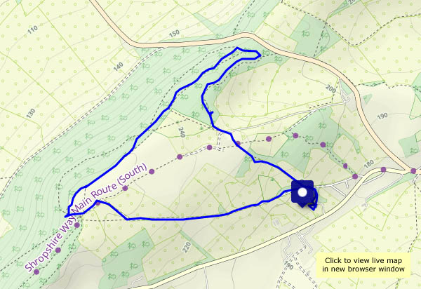
Rubha na h-Aiseig

24 May continued: Starting from the same place as yesterday’s walk, I’m heading in the opposite direction. At first I skirt the clifftops, with one or two rather exposed spots between the fence and a near-vertical drop to the sea. The views to the south and east are extensive – Sròn Vourlinn’s startling peak dominates the near distance; the north-western highlands form an intriguing horizon. Descending to the grassy foreshore, a very faint path leads to the ‘Ferry Point’, where once perhaps there was a connection to the island of Trodday, a mile or so to the north. Remains of a couple of black houses, and a curious gap in the stony shore where a boat might possibly have been dragged to and from the sea, are the only clues remaining.
As I wander back, in no hurry, a seal pops up just yards from the rocks to see what I’m doing. Oystercatchers flit noisily along the shore.  Butterwort catches the eye in the grassland – and someone has buried a couple of camels…

View OS map on Streetmap http://www.streetmap.co.uk/map?X=143829&Y=875753&A=Y&Z=120