Golden sands

Friday 26 August: A shoreline walk to the west of Dunbar. The route I’ve shown on the map starts and ends at the “Bridge to Nowhere”, where there’s space for parking (I walked there…). It’s very nearly high tide and the bridge isn’t usable yet, the approach paths on either side are under water. Instead, I’ll follow the John Muir Way as far as the bridge over the Hedderwick Burn. I won’t cross it – I’ll walk along the shore around Hedderwick Hill plantation (which may need replanting after the devastation of last winter’s storm). Crossing the dunes brings me back to the beach, which is quiet at first, becoming more popular as I head back towards the bridge to nowhere. Happily, the tide has begun to ebb and I can cross without getting wet feet. I may need to hurry along a bit now – the sky’s looking rather threatening – are those the first drops of rain?

There are oystercatchers and curlews in the creeks and marshes, and on the beach are smaller birds (I think they’re sanderlings), skittering about trying to retrieve tasty morsels without getting wet. They’re never still for a moment, which makes getting a decent photo tricky…

View OS map on Streetmap http://www.streetmap.co.uk/map?X=365222&Y=679122&A=Y&Z=120

Wandering around Cound

Before we can wander anywhere, we must visit the bookshop – we need to top up, and it’s raining! It wasn’t supposed to; it was just a shower and soon past. The season is moving rapidly – it’s clearly a good year for hops, most of the crops have been harvested, and there’s no shortage of hedgerow fruits

View OS map on Streetmap http://www.streetmap.co.uk/map?X=355910&Y=304165&A=Y&Z=120

No rain in Rowe Lane?

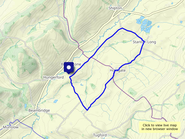
There are a few mostly light showers around this afternoon – spots in the wind as we set out, better carry the waterproofs… Inevitably, it stays dry until, perhaps 2/3 of the way round, we stop for chocolate – there’s a very convenient bench, with an excellent view, in Holdgate churchyard. More than just a few spots? We’ll have a look inside the ancient church (it’s well worth a look), and when we leave, the rain has gone (and the ground is dry – it can’t have been much). A little further down the lane, there’s a wonderful patch of blackberries – some of the biggest we’ve seen growing wild, and plenty of them. We’d have been home earlier, and hungrier, if they’d not been there…


View OS map on Streetmap http://www.streetmap.co.uk/map?X=356005&Y=289605&A=Y&Z=120

Westhope wandering

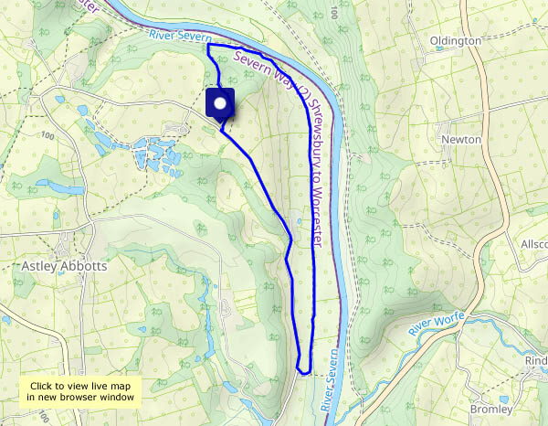
We’re at the far end of Wenlock Edge, wandering down the lane to Westhope (where the blackberries are truly splendid), and onward to the foot of Flounder’s Folly. We’re not going up to the tower today – the highest point of the Wenlock Edge is a wonderful viewpoint, but not ideal for a good circular walk. Instead, we’ll walk back to the start through the woodlands along the western edge. With a steep drop through the trees to our left, and pleasantly open woods to our right, it’s an enjoyable walk – and interesting things lurk in the undergrowth…

View OS map on Streetmap http://www.streetmap.co.uk/map.srf?X=346815&Y=286575&A=Y&Z=120

To the woods!

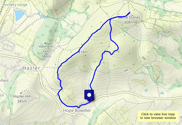
What better place, on a grey day! Comer Woods have become popular – there are quite a few other cars parked. Woodland is very absorbent however – we pass just three other people on our four-mile circuit. Towards the end of the walk, when the path nears the main road, there’s some traffic noise – otherwise, there’s just birdsong, an odd light aircraft – and the occasional tooting and chuffing of trains on the Severn Valley Railway, out of sight but well within earshot. We like Comer Woods!

View OS map on Streetmap http://www.streetmap.co.uk/map?X=374740&Y=289495&A=Y&Z=120

Cooler

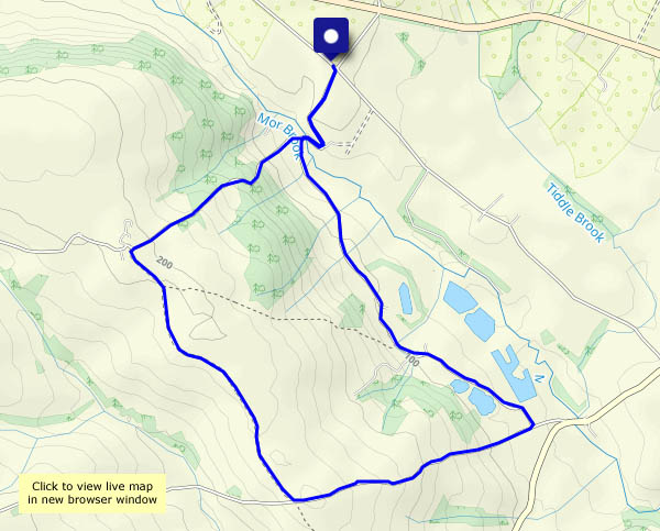
More than ten degrees cooler. Yesterday it was just over 30C, today it’s barely 20C (rather humid though – can’t have everything!). After several excessively hot days, it’s good to be out in the much fresher air around Willey, where the corn (was it wheat or barley? Can’t remember!) has been harvested, and the apples and damsons look ready for picking.

View OS map in Streetmap http://www.streetmap.co.uk/map.srf?X=367470&Y=298250&A=Y&Z=120

The Ice House

“A restored brick structure, once thought to be an ice-house, but more likely used for storage” – so says the website of ‘The Nine Men of Madeley project’. It’s all that remains of Madeley Wood Hall, demolished around 100 years ago. Whatever it is or was, it’s an interesting destination for a walk on this very warm morning. Ice house? An ice cream would have made the morning perfect…

Nine Men of Madeley Project: Madeley Wood Hall

View OS map on Streetmap http://www.streetmap.co.uk/map?X=368695&Y=302995&A=Y&Z=120