October in the valley

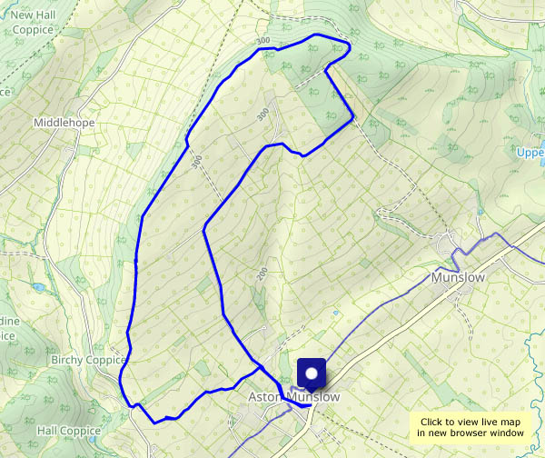
Monday: we’re walking down through Chestnut Coppice to the riverbank and the old railway track. There may be some attractive autumn colours – and maybe an interesting toadstool or two? Yes to both – though the most colourful leaves are on the highly-invasive knotweed which is rapidly colonising the riverbank.

View OS map on Streetmap http://www.streetmap.co.uk/map?X=371965&Y=296515&A=Y&Z=120

The Fourth Bridge

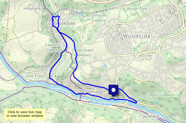
We’re walking from Bedlam to cross the Severn at Ironbridge, then down the old GWR railway track to Coalport. After crossing the bridge there, we’ll follow the old LNWR railway track as far as Coalport youth hostel. Success! The café is open…
Suitably refreshed, we’ll cross the river twice more – over the footbridge towards the Boat Inn, then back through Jackfield to cross the river one more time…

View OS map on Streetmap http://www.streetmap.co.uk/map?X=368855&Y=302735&A=Y&Z=120

South from Borth on the coastal path

We’ve done this one before, eight years ago (it hasn’t changed much! See Down the coast – Borth to Aber). We’re taking the train: a day return to Aberystwyth, but we’ll get out at Borth and complete the journey to the railway’s terminus on foot, along the coastal path with wonderful views of Cardigan Bay. Closer to hand, there are several little gatherings of splendid parasol mushrooms, and in the air are numerous gulls and one or two red kites. Unusually, we’re above them occasionally – this isn’t a level path. At highest, we’re about 350ft above sea level, but the numerous ups and downs make for 1,300ft of ascent in total. Nor is it a long path – a little over six miles between the two railway stations, which means we don’t need to hurry to catch the train home again. Just as well – the next one is two hours later…

View OS map on Streetmap http://www.streetmap.co.uk/map?X=259790&Y=285940&A=Y&Z=126

Jonathan’s and Town Brook

A walk from, but not in, the Carding Mill Valley. Once parked, I’m away back out of the valley, taking the path to Cwm Dale to reach the Batch Valley. At its head, the latter splits – into Long Batch, and Jonathan’s Hollow which takes me up to the Long Mynd plateau. I’ll stop for lunch at the froggy pond near the junction with the direct path from the Carding Mill. Pond? It’s a mere puddle! We’ve had a little rain in the last week or so – what was it like in August? I hope the frogs are OK!
Lunch over, I’ll continue to the top, Pole Bank, where there are just two people, one oblivious to everything but his smartphone, his companion engaged in a loud phone call: “I’m on a hill…” I won’t stay (I was here just last week after all) – I’ll head for the heather-clad ridge leading to the top of Town Brook Valley, then follow its narrow path down towards Church Stretton – and there’s a car in Carding Mill Valley…

View OS map on Streetmap http://www.streetmap.co.uk/map?X=343790&Y=295235&A=Y&Z=120

Lunch at Pole Bank

Yesterday the forecast suggested a mostly sunny ‘lunch out’ day, but this morning it was less hopeful – it would cloud up later, with rain on the way. It was certainly very pleasant on the way to Pole Bank, beside the aptly named Small Batch, and I enjoyed my lunch near the highest point of the Long Mynd. But as I gaze out across the lonely country around Bishop’s Castle and Heath Mynd, the cloud is gathering, and with the possibility of thunder, I’ll head back. The Ashes Hollow is too good to hurry, of course, and it stayed dry. The first drops were falling twenty minutes later as I neared home, dry in the car.

View OS map on Streetmap http://www.streetmap.co.uk/map?X=343360&Y=293180&A=Y&Z=120

Hazy day on Brown Clee

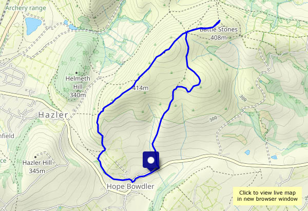
It may have been hazy – no wonderful views of the Welsh heights – but it was very pleasant on this warm early-September afternoon. Quiet too – just three other people. The heather is still in bloom; the gorse is yellow, there are red rowan berries galore. What more can one ask? (An ice cream van at the top maybe? Perish the thought!)

View OS map on Streetmap http://www.streetmap.co.uk/map?X=360080&Y=285960&A=Y&Z=120