A grey afternoon – need to take a closer look to find any interest…
View OS map on Streetmap http://www.streetmap.co.uk/map?X=367510&Y=297955&A=Y&Z=120
Short walks with photos and a Google map.
A grey afternoon – need to take a closer look to find any interest…
View OS map on Streetmap http://www.streetmap.co.uk/map?X=367510&Y=297955&A=Y&Z=120
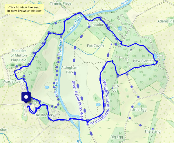
26 January: after recording Britannia’s eastbound progress near Allscott, we needed lunch and a short leg stretch. Attingham: the Cornish pasties were excellent; the cakes nearly finished us off. A short walk around the park would be good – the first snowdrops are up, and the birds are feeding in the woods. Shame there’s hardly any light…
View OS map on Streetmap http://www.streetmap.co.uk/map?X=355275&Y=310205&A=Y&Z=120
It was bright and sunny just minutes before we set out, but the drizzle soon began – very light, very fine. We weren’t getting wet, but the camera mostly stayed in its bag.
View OS map on Streetmap http://www.streetmap.co.uk/map?X=367365&Y=304060&A=Y&Z=120
The fine cold spell continues: this afternoon we’re walking from Benthall Hall, along the lanes to Wyke, thence to Benthall Edge via the Vineyards, completing the circuit on muddy field paths. The air temperature may have been around 5-6C, but in the warm sunshine (which the new lambs at Wyke appeared to be enjoying) it felt like early spring.
View OS map on Streetmap http://www.streetmap.co.uk/map?X=365630&Y=302615&A=Y&Z=120
A cold day on Brown Clee… Apart from a brief look to the west near the Five Springs, we’re staying on the eastern side of the hill. There, we’ll be largely out of the icy wind. Boyne Water is frozen over, there are some interesting displays of ice sculpture where streams run down the hillside, and the tracks are quite slippery in places. The wintry sky begins to clear late in the afternoon, moments before the sun sets – too late!
View OS map on Streetmap http://www.streetmap.co.uk/map?X=360745&Y=285605&A=Y&Z=120
“We haven’t always parked here – once, we parked in Brocton and walked up that old railway line – was it called Tickety-boo?” Close! The Tackeroo was the WW1 military railway across the Chase – we’ll cross its trackbed a couple of times today, but for once we won’t be walking along it for any significant distance.
There’s been a fall of snow up here: there’s little trace of it on the heather or the trees, but the paths remain mostly well-covered. The sun comes out on schedule (well done, Met. Office) and it’s a glorious January day on Cannock Chase, cold but pleasant in bright sunshine which really brings out the colours. I should add that the snack lunch at the visitor centre is worth the walk too…
View OS map on Streetmap http://www.streetmap.co.uk/map?X=399070&Y=316545&A=Y&Z=120
A walk on the far side (we try not to cross the river too often – it’s a strange and different world over there) – through Rindleford and up the stony-sided valley of the Worfe, returning along quiet lanes and the hamlet of Bromley. Not always an easy walk – many of the surfaces are hard-frozen and slippery – but it’s pleasant out on this fine and mostly sunny afternoon.
View OS map on Streetmap http://www.streetmap.co.uk/map?X=373930&Y=295055&A=Y&Z=120
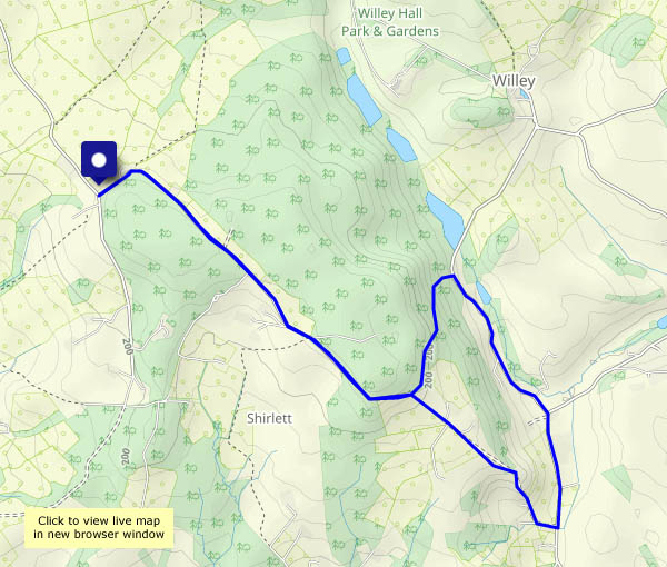
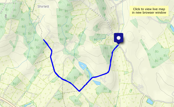
Out and back along Shirlett Lane. There was a light fall of snow overnight, but by the afternoon it’s mostly melted. The sun came out eventually – could have done with it a little sooner.
View OS map on Streetmap http://www.streetmap.co.uk/map?X=365590&Y=298590&A=Y&Z=120
There’s a lot of weather around this afternoon! Clear air, an icy breeze, bright sunshine followed by some darker cloud, distant snow showers – and it’s great to be out on the Hope Bowdler hills. They’re no great height but they provide a wonderful viewpoint for the surrounding country, with some extensive views. We can see the Brecon Beacons, more than 50 miles to the south-west, and the snow-topped Llangollen hills perhaps 40 miles to the north-west, beyond Chirk’s eye-catching chipboard factory. (We can also see Wolverhampton some 25 miles to the east, but we won’t go there, so to speak). On days like this, it’s a shame to have to leave the hills, but the sun’s dropping behind a huge cloud to the south-west. Time for home!
View OS map on Streetmap http://www.streetmap.co.uk/map?X=347655&Y=293665&A=Y&Z=120
Walking from Benthall Hall, via Posenhall to Arlescott, and back through Wyke and the Vineyards. The views to the west are extensive: there’s snow on the Berwyns and the Llangollen hills. Closer to home, there are new(ish) lambs in the fields by the Vineyards – a new season begins!
View OS map on Streetmap http://www.streetmap.co.uk/map?X=365405&Y=301915&A=Y&Z=120