Widdershins

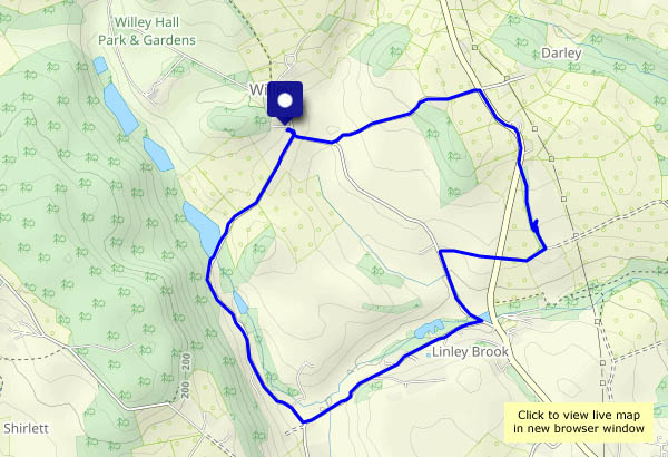
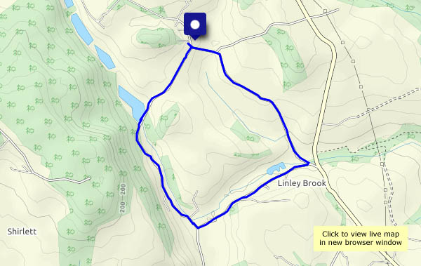
A teatime walk – same route as yesterday, but anticlockwise. The views are different, and so is the weather: after a showery day, the sky is mostly blue, the air is clear and the sunshine bright. I pause beside the pool to tie a bootlace, foot on the fence, startling a previously-unseen duck. A passing walker asks if I’ve seen what’s below me – no fewer than eight eggs (he’s been watching the spot for a day or two). A very quick snap and we’re on our way – we will look forward to ducklings…

View OS map on Streetmap http://www.streetmap.co.uk/map?X=367515&Y=298310&A=Y&Z=120

An Uig exploration

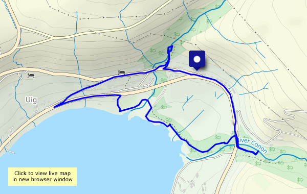
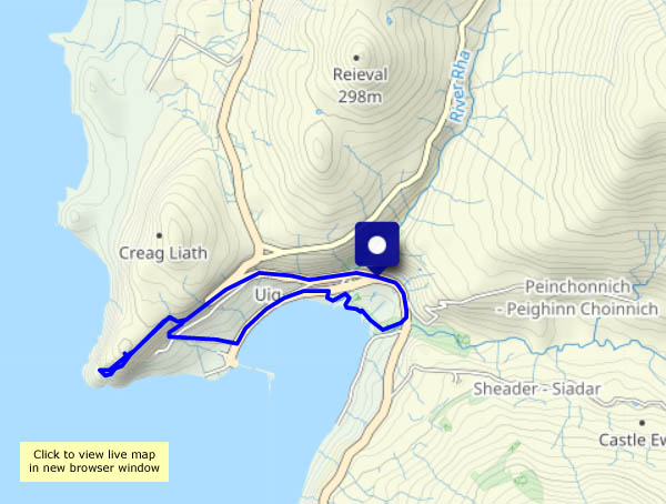
Skye: Sunday 2 April: after a day of rain, today is grey and still. I’m exploring Uig, beginning with a walk up to the headland on the north side of the bay. It’s a fine viewpoint for the north-west shore of Trotternish, with a great view of the departing ferry, setting out on a crossing to Tarbert, Harris. Later, I walk through the woods lining the shore between the Rha and Conon rivers. This is temperate rain forest (albeit a very small one!), where the trees are lined with moss and a remarkable assortment of lichen. The tree lungwort resembles miniature cabbage leaves – amazing stuff!

View OS map on Streetmap http://www.streetmap.co.uk/map?X=138600&Y=864187&A=Y&Z=120

Trespassing again

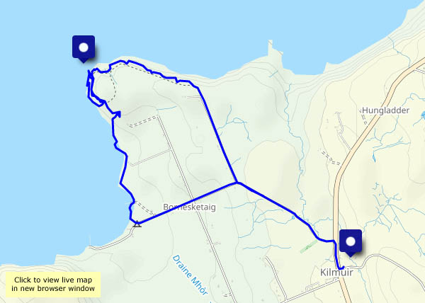
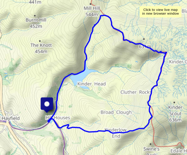
Monday 27 March: It wasn’t as sunny as forecast just a day earlier, but it was cool, dry, bright and periodically sunny on Kinder Scout – a great day to be out on the southern Pennine hills, following the route that the famed mass trespassers took to these bleak moors with their wonderful rocky fringe. Walk? It’s more like a horizontal scramble along that gritstone edge!

View OS map on Streetmap http://www.streetmap.co.uk/map?X=406365&Y=388125&A=Y&Z=120

The famous grouse

Monday 27 March: Kinder Scout. “Have you seen the weather forecast for tomorrow, up there?”. In the event, the sky wasn’t quite as clear of cloud as the earlier forecasts suggested, but with with some bright sunshine in-between the clouds it was a most enjoyable full-day outing. It will take a while to work through all the photos – more to come. Meanwhile, here’s a well-known chappie (and another, possibly less-well-known)

March winds or April showers?

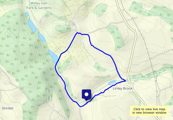
A bit of both today – a stiff breeze blowing light showers across the countryside. Walking past Hurst Farm and on towards Shirlett, it would have been good to complete the loop to Shirlett Lane and return to the car down Round Hill – but I suspect we’d still be floundering in the mud (we had a drop of rain last night). Instead, where the track ends, we’ll turn and retrace our steps. The views are different in the other direction…

View OS map on Streetmap http://www.streetmap.co.uk/map?X=366665&Y=296480&A=Y&Z=120

Greater spotted

We’re wandering around Attingham this afternoon. It’s a dull grey day, so the scope for photography may be limited. The woodpeckers are having fun, bashing their brains out in attempts to attract mates. One drums noisily in a tree nearby – can we see him? No – until he flies to another branch, and our eyes register the movement. Can the camera see him? We’ll try! He may be a greater spotted woodpecker, but he’s certainly not easily spotted…

View OS map on Streetmap http://www.streetmap.co.uk/map?X=355265&Y=310392&A=Y&Z=115

Impasse II

Same as last week! About a mile and a quarter along Rowe Lane there’s a huge puddle. We’ve met it before, after heavy rain, and last time we got through, but this time it seemed deeper and there was no way along the verge – the hedge would have pushed one of us in (and I’d have been in trouble)… So we’re retracing our steps to head across the fields to Holdgate, and apart from new views, we see one (sadly, dead) fox, one hare (very much alive and too fast for the camera), two herons (flying over) and a tree full of cormorants. We also see the back of Hall Farm at Holdgate, which seems to be built around the remains of a castle, complete with arrow slits (loopholes?) for archers. Like last week’s flooded ford, the puddle did us a favour!

View OS map on Streetmap http://www.streetmap.co.uk/map?X=354870&Y=289150&A=Y&Z=120