Mose and Comer

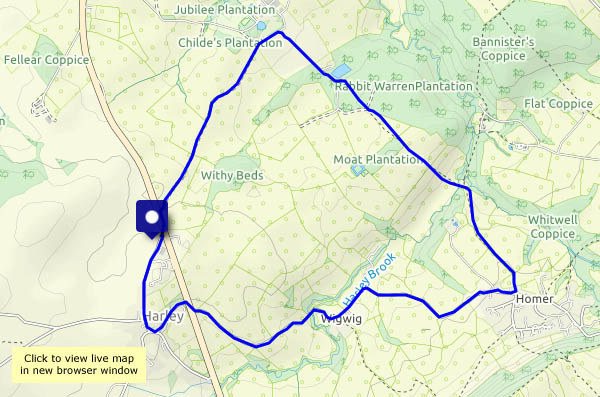
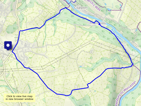
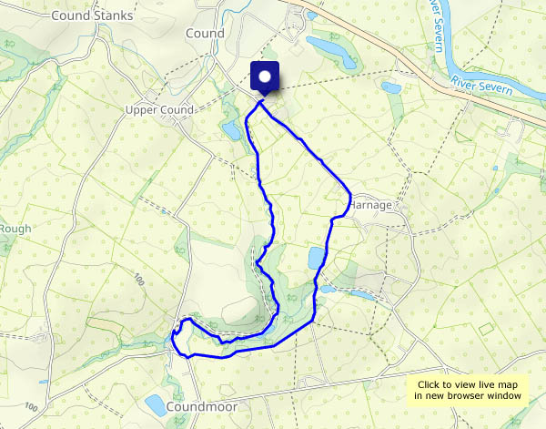
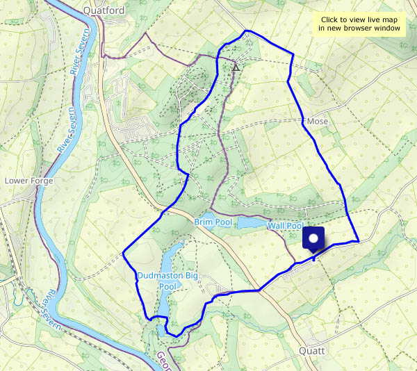
There could be a shower this afternoon (there was!) – might be good to be in the woods, for a bit of shelter (it was!). The sun shone as we walked up through Mose (feeling really warm, for the first time this year), but the clouds were gathering when we paused at the chocolate spot (a log beside the pool). Not far back to the start – we only got slightly damp…

Dudmaston NT


View OS map on Streetmap http://www.streetmap.co.uk/map?X=375225&Y=289820&A=Y&Z=120

Misty morning – a woodland walk

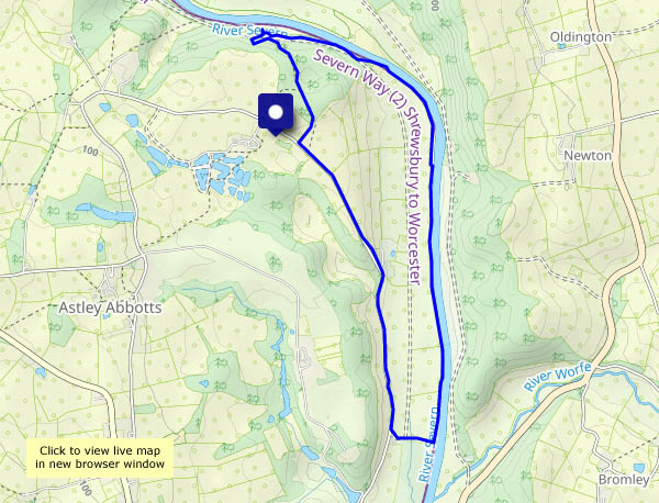
It looked like it would be brighter earlier in the day, if not especially sunny. We’ll head for Benthall and the woods along the Edge. The woodland path passes through a wonderful 3D landscape, created partly by the trees but largely by Benthall Edge itself, with a steep drop to the left and numerous remnants of old quarries.

At the troll’s bridge, all we can hear is birdsong and the gently glugging of the tiny stream below – listen to the sound clip below…

View OS map on Streetmap http://www.streetmap.co.uk/map?X=366210&Y=303080&A=Y&Z=120

Blue and yellow – a walk to Wyke

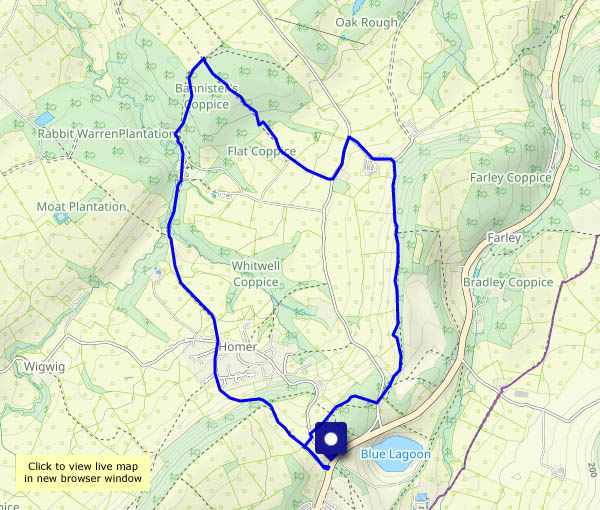
Thursday 20 April: The sky is blue, the fields (several of them anyway) are bright yellow – the oilseed rape is in bloom. It’s not quite a classic English landscape, but it’s dramatic. The brilliant yellow makes it feel like the sun’s shining on the cloudiest of days. We’re walking from Barrow, across the fields to Wyke and back, on a very pleasant afternoon.

View OS map on Streetmap http://www.streetmap.co.uk/map.srf?X=365265&Y=301021&A=Y&Z=120

Green man and yellow fields

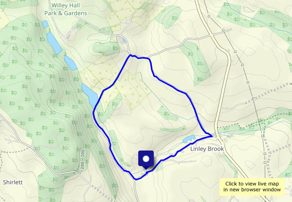
A minor variation on a regular route – up Scots Lane and down the track past Linley church, visiting the green man on the north wall. The oilseed rape is coming into bloom – we can smell it (and no, ‘scent’ wouldn’t be the right word) as we cross the field to Bould Lane. Further along, the blackthorn blossom is brilliant white against a clear blue sky. It’s a colourful walk today!

View OS map on Streetmap http://www.streetmap.co.uk/map?X=368020&Y=298345&A=Y&Z=120
Uamh Oir – the gold cave

Skye: Thursday 6 April (continued): Our last day – and it’s a beautiful Skye day – bright, breezy, blue sea and sky. I’m going for gold – walking from Kilmuir village hall to the Gold Cave, via the Bornesketaig cliff tops. The gold’s all gone, of course. There’s a full moon – the tide is as low as it gets, and at such times the cave can be entered – but I’m on my own (and there’s no-one else about), so the risk of a fall on those slippery rocks is worth avoiding (I’ve been in it before, some years ago). I’ll return along the shore to the Camus More campsite, then back up the reed-lined road. There will be times on the long drive home that I’ll think of this afternoon.

View OS map on Streetmap http://www.streetmap.co.uk/map?X=137951&Y=871125&A=Y&Z=120

An hour in Portree

Skye: Wednesday 5 April: I’m wearing my chauffeur’s cap today. “Can you run us into Portree this afternoon, then amuse yourself for an hour or two?”

Not for the first time, I’m wandering with the camera. On a similar outing, last October, I was blessed with a beautiful still morning of blue sky and sunshine. This afternoon, it’s showery – can I dodge the rain? Yes, for a while. Down Bayfield Road, up onto the path around ‘the Lump’, down to the quay, then up to Bosville Terrace. I could perhaps get as far as the Black Rock? No chance – a view from the terrace reveals another shower bowling down from the Cuillins… Back to the car!

View OS map on Streetmap http://www.streetmap.co.uk/map?X=148113&Y=843469&A=Y&Z=115

Rubha nam Bràithrean

Skye: Tuesday 4 April: Brothers’ Point: it’s not a long walk – not much more than two miles to the tip – neither is it a quick walk. The shore is full of interest – a good place to lose an hour or two on a fine day (even if the minibus tours have discovered it). The sign at the top of the path says “We do not recommend that you walk to the point”. Quite – to pass the gendarme and get over the rock tower beyond requires the use of hands as well as feet, but beyond it’s an easy walk to the end, where comfortable rocks provide a good seat from which to enjoy the seascapes. (I should add that it’s also a good place, being low down on Skye’s east coast, to escape from a strong south-westerly wind. The showers are less easy to dodge, but we’ve been lucky this afternoon)

View OS map on Streetmap http://www.streetmap.co.uk/map?X=152333&Y=862561&A=Y&Z=115

The Ordnance Survey calls it Rubha nam Brathairean. We’ll stick with the name on the display board – it’s shorter…