Approaching autumn

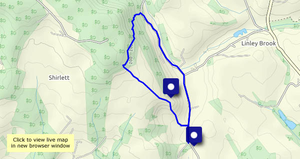
An evening wander, up Ned’s Lane and back down past Round Hill. There are thick tangles of wild hops in the hedges beside the road, and some of the bindweed and bramble leaves are decidedly warm-toned. A few low-dangling damsons (I’m thinking of jam already!) have been tested by several fingers already, but the fact that they’re still there means they need a little more ripening. Soon…

View OS map on Streetmap http://www.streetmap.co.uk/map.srf?X=367107&Y=297480&A=Y&Z=115

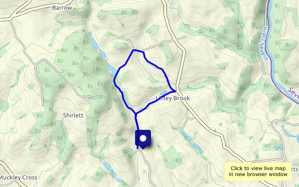
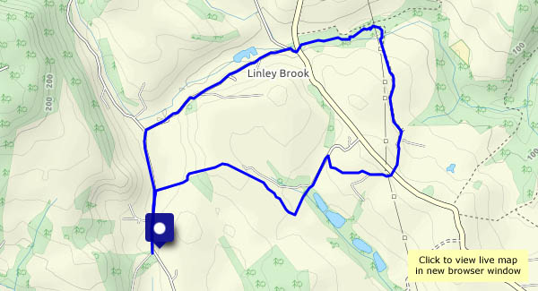
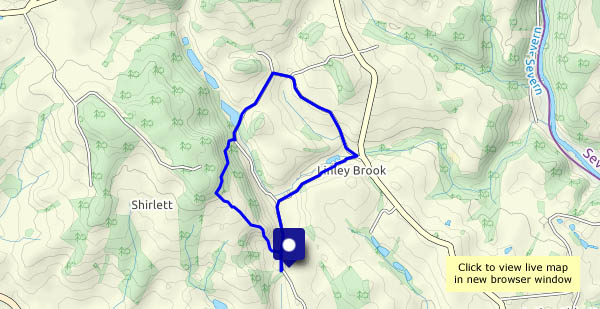
Linley Brook and Stocking Lane

In January, we walked over Nordley Common and down to Linley Brook, where what should have been a pleasant path beside the stream was more like a jungle assault course. Perhaps in early August it will be fit to walk? Yes, it is – though still quite muddy in places, it’s more like the enjoyable amble we’d expected. Varying our route a little now, we stop to watch four sheepdogs, who clearly know what to do and how to do it (see the YouTube clip below).
Crossing the main road again, Stocking Lane takes us to a quiet field path leading over the hill and back down to the start.

View OS map on Streetmap https://www.streetmap.co.uk/map.srf?X=368150&Y=297381&A=Y&Z=120

Clockwise at Aldenham

A familiar route which we follow more frequently in the other direction. The weather forecast suggested the the showers would clear (they did!) but the sky would be heavy with cloud (those little dark grey symbols). Yes, that was true too – but with little gaps to let the sun through, spotlighting little details in the surrounding countryside.
The dragonfly (a black-tailed skimmer) was very good at flying off, further up the path through the barley, whenever I got almost close enough for a half-decent photo. They know, don’t they?

View OS map on Streetmap http://www.streetmap.co.uk/map.srf?X=366905&Y=295705&A=Y&Z=120

Poppies and peacocks

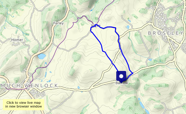
Taking a closer look beside the path from Barrow to Wyke and back. There are poppies in the wheat and barley, and more butterflies than we’ve seen for a long time. Most are nervous, taking flight before we’re aware of them, but others are prepared to pose, too interested in a spot of nectar to worry about passing snappers. Our walk is delayed by refreshments too – the blackberries are ripe and juicy!

View OS map on Streetmap http://www.streetmap.co.uk/map.srf?X=365225&Y=301215&A=Y&Z=120

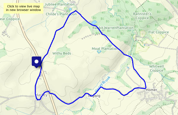
Harley and Homer

Nothing to do with motorcycles or poets… Between the two, we’ll pass through the farm hamlet of Wigwig – where did that name come from? It’s a short walk (just over 4 miles) in mostly quiet* country below the Wenlock Edge, and very pleasant it is too!
* except the very last short stretch approaching the busy main road

View OS map on Streetmap http://www.streetmap.co.uk/map.srf?X=360720&Y=302125&A=Y&Z=120

Somewhere in Mynd?

Arranging a day’s walking: “where shall we go?” “I’ve got somewhere in mind…” Yes, a day on the Long Mynd. Haven’t been up there for ages.

Carding Mill Valley is horribly busy, but five minutes later we’ve left it all behind, and we’re enjoying a mostly-quiet and easy, if somewhat indirect ascent to the ridge. Predictably, from the top of Mott’s Road to the highest point at Pole Bank, there are others about (but only a very small proportion of those in the valley make it this far). Leaving Pole bank is to leave the crowds (I exaggerate. There were three others there), and our descent, by the Yearlet / Ashlet ridge, is comfortably quiet. A very enjoyable outing (but we won’t be hurrying back to Carding Mill Valley just yet…)

View OS map on Streetmap http://www.streetmap.co.uk/map.srf?X=344030&Y=295120&A=Y&Z=120
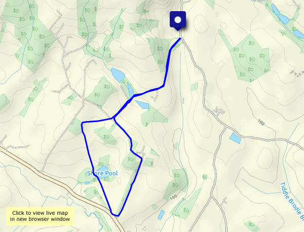
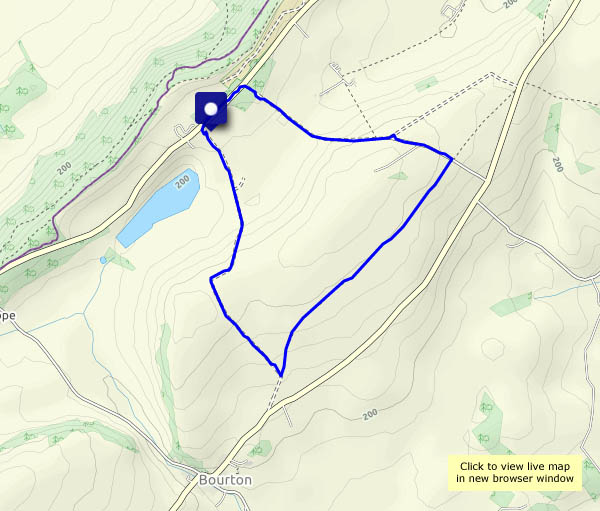
Untrodden ways

We’re exploring today – quiet farm tracks which we’ve not trodden before, and paths through fields of ripe wheat. If the weather holds, they will very soon be stubble.  As well as the usual enjoyable views, there are hundreds of butterflies, most of which are nervous, but one or two pose obligingly for the camera.

View OS map on Streetmap http://www.streetmap.co.uk/map.srf?X=360205&Y=297700&A=Y&Z=120