The straight lane and Kenley

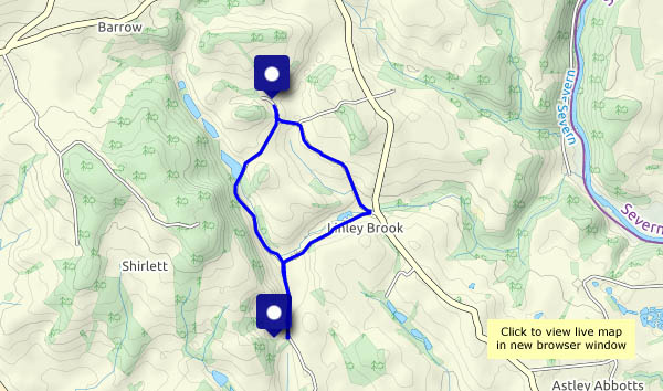
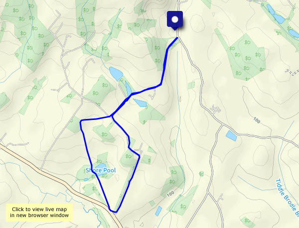
Most of our minor roads are narrow and twisty, but there are one or two, below the Wenlock Edge, that have some dead-straight stretches. We’re using one of these to make a circular walk, to include a farm track taking us up to Kenley. Towards the top, there’s a solitary sunflower lying beside the track – however did it get there? More mysteries to follow – small heaps of potatoes, carrots, sugar beet, maize cobs and bean pods beside the road. Why?

View OS map on Streetmap http://www.streetmap.co.uk/map.srf?X=357355&Y=300575&A=Y&Z=120

Aldenham again

It’s not a long walk, about three and a half miles, but it’s pleasantly varied. There are two red kites circling as we set out – we won’t see them again today. Elsewhere the season moves on. Although the farmer hasn’t cut his wheat and barley yet, the blackberries are plentiful (some are already past their best), and there are some splendid conkers in the woods by Shore Pool. September is approaching!

View OS map on Streetmap http://www.streetmap.co.uk/map.srf?X=366905&Y=295705&A=Y&Z=120

Church Preen

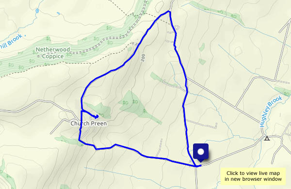
A walk around a triangle of quiet lanes, up to Church Preen and back. We’ll take a look at the 13th century church (St John the Baptist) – and its remarkable yew tree. It claims to be more than 1,500 years old (it looks it!), and the oldest tree in Europe (perhaps not…). There are butterflies in the buddleia, just over the churchyard wall, and some quite astonishing fungus near the lychgate.

View OS map on Streetmap http://www.streetmap.co.uk/map.srf?X=354900&Y=298525&A=Y&Z=120

Chestnut Coppice via the SVR

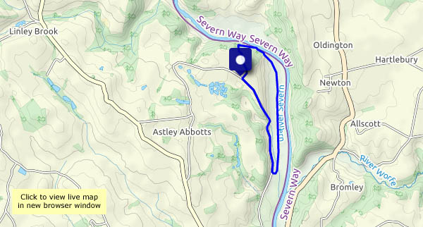
A fairly short stroll today, and once again we’re dodging the showers. From the parking spot near Chestnut Coppice we’re walking down the road until we can cut across to the old Severn Valley railway trackbed. The former railway brings us to the foot of Chestnut Coppice, for a very pleasant and gentle ascent through the woods and back to the car.

View OS map on Streetmap http://www.streetmap.co.uk/map.srf?X=371955&Y=296510&A=Y&Z=120


Heath Chapel and Clee St. Margaret

We’re on the western slopes of Brown Clee, starting out below the hill fort and walking down the lane as far as Heath Chapel, a remarkable (grade 1 listed) little building dating from Norman times. Leaving the chapel, we head for Peckledy (a farm), from where a tree-lined track aims towards Clee St. Margaret. Beside the lane there’s much buzzing – a wild bees’ nest, which appears to have been robbed recently (the evidence is on the ground a few feet away).
Clee St. Margaret is distinguished by its unusual ford, where the brook runs along the road – and around the bend – before continuing its journey down to Corvedale. Our journey continues gently uphill, across the grassland below Nordy Bank and back to the car.

View OS map on Streetmap http://www.streetmap.co.uk/map.srf?X=356225&Y=284720&A=Y&Z=120

Red kite and small blue

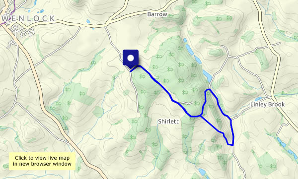
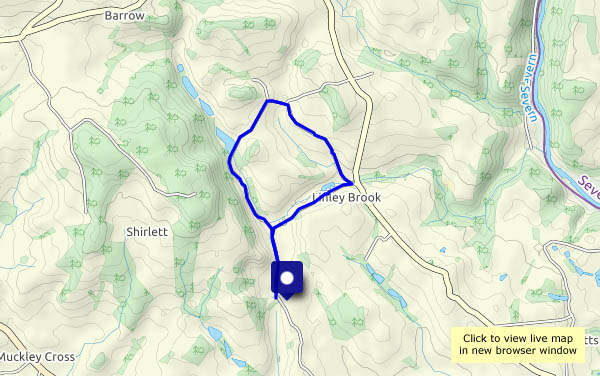
A walk along the very quiet road through Shirlett, down Ned’s Lane, through the Smithies and back up to Shirlett via Round Hill. There’s plenty to see as the season moves along – today’s highlight being the pair of red kites which circled above us briefly (a photographic failure!), followed by the small blue posing just a little further on. Meanwhile, the harvest continues.

View OS map on Streetmap http://www.streetmap.co.uk/map.srf?X=366240&Y=297950&A=Y&Z=120

The Wyke walk

This time yesterday it was almost 30°; today it’s barely over 20°. What a difference! The air feels cool, it’s still and humid – clammy in the shadier places – and we’d better not hang around, it’s going to rain later. The blackberries slowed us down significantly (we have to assess their quality for jam-making purposes), nevertheless, we were practically back to the start when the rain came on. One of these days, we’re going to get caught out – but not today!

View OS map on Streetmap http://www.streetmap.co.uk/map.srf?X=365265&Y=301021&A=Y&Z=120

Plaish

It’s a hamlet in the quiet country between the Wenlock Edge and the Stretton hills. It’s notable for its 16th century hall, apparently one of the earliest brick-built houses in the county. The views would be wonderful from its elevated position – but not today – it’s murky, and only just starting to feel warm as we return to the car. A very pleasant leg-stretch nevertheless.

View OS map on Streetmap http://www.streetmap.co.uk/map.srf?X=353520&Y=295320&A=Y&Z=120