A stroll on the Mynd

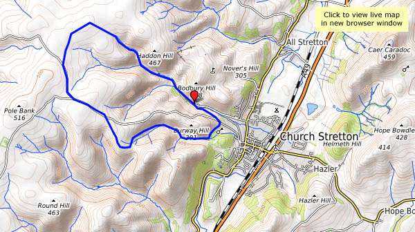
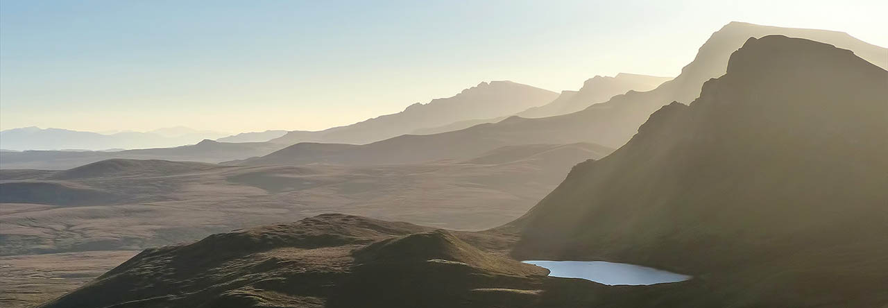
It’s not all “stroll” – there’s a steep pull up Mott’s Road to the Long Mynd plateau, and our legs haven’t had enough exercise during the past few weeks. But once we’re up, it’s a very pleasant amble. The sunshine is bright, the sky is (mostly) blue, the breeze is light – no need to hurry. It’s one of those afternoons whose only downside is the need to come down…

View OS map on Streetmap http://www.streetmap.co.uk/map.srf?X=343445&Y=294706&A=Y&Z=120

Cothercott

Cothercott’s decaying early 20th century concrete is hardly the prettiest relic of mining in the Shropshire hills. If the barytes mining had begun earlier, the remains might at least have been of stonework. The grim slab beside the road on Cothercott Hill has formed a minor landmark for many years, but now the site has been tidied up, with interpretation boards and a yellow-painted mines tub (from Gwynfynydd – it’s not a local!) set on a plinth as a reminder of the little railway which once operated here.

There are more interpretation boards just a little further up the hill – but we’re on our way elsewhere, and it’s bitterly cold despite the sunshine. We’ll come back another day, and perhaps try to follow the route of the railway back to the mines.

Monkhopton Highlands

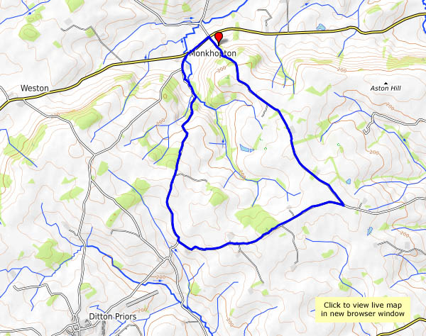
It’ll be wet underfoot – we’ll have a walk along some quiet lanes in the high ground south of Monkhopton. It’s not especially scenic, but it’s easy walking, and there are some fairly extensive views. By the time we’ve completed about 2/3 of the route, the gaps between the clouds have gone, and with them the light for photography, though it’s only just 4pm when we get back to the car. This time next month, the nights will be getting lighter again.

View OS map on Streetmap http://www.streetmap.co.uk/map.srf?X=363415&Y=292071&A=Y&Z=120

Cold Clee

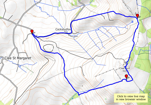
Friday 24 November: It’s cold up here today – the frost is lingering in the hollows – but the sunshine (wall-to-wall!) is warm, and a picnic lunch on the rocks near the summit of Clee Burf will be just the thing. We’ve got to get there first, and we’re trying a new route, up the edge of the access land near Stoke Enclosure. It’s a good route too – until we reach the summit plateau. We have to cross deeply tussocky grassland, and there’s no path – and the gaps between the tussocks are very wet… Lunch over, we’re not going to hang around – it’s too cold, but not too cold for a chocolate stop at the well-placed wooden seat. It’s downhill from here…

View OS map on Streetmap http://www.streetmap.co.uk/map.srf?X=358635&Y=284841&A=Y&Z=120

A Willey circuit

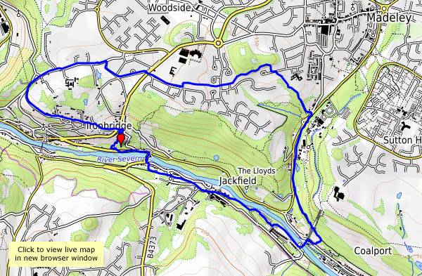
We’re circling the Willey estate (have to circle it – can’t go through it. Private. Keep out) on a fine, still November afternoon. There’s some bright sunshine early on, lighting the remaining leaves and the odd bit of bracken. Later, as we pass the medieval old hall and head up through the woods, the sun is dimming, and we’re into the gloom of late afternoon.

View OS map on Streetmap http://www.streetmap.co.uk/map.srf?X=366255&Y=299041&A=Y&Z=120

Mucklewick mud

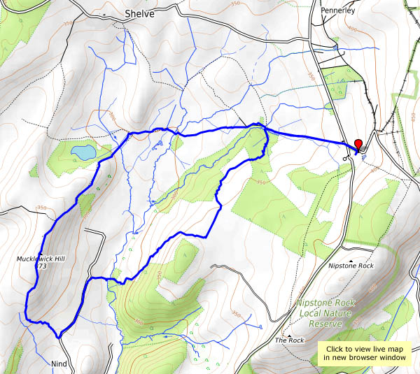
Friday 10 Nov: One of us felt we should visit the Christmas fair at the Bog Centre – it would be quieter, perhaps, than the Saturday and Sunday. While we’re out there, a walk would be in order – it’s bright and breezy, with plenty of sunshine and just the odd spot of rain in the wind every now and then. We set off with no firm route in mind, and ended up with a route that was decidedly unfirm. The last few fields were seriously soggy – it was “pick your way very carefully” territory. If the Christmas fair was relatively quiet, the walk was even quieter – we saw no-one from leaving the Bog until we returned a couple of hours later. I don’t think I’ve ever seen anyone else on Mucklewick Hill. I’m not complaining…

View OS map on Streetmap http://www.streetmap.co.uk/map.srf?X=334345&Y=297286&A=Y&Z=120