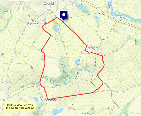
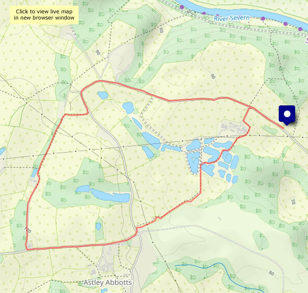
The first two days were rather wet; today, the 3rd of September, is a better day. Grey in the morning but sunny intervals from around 2pm, the forecast suggested, and it was pretty accurate. Blackberries abound, but they’re rather soggy after the rain – however, there’s a reliable wild apple tree that will help to kick-start the jam-making season.


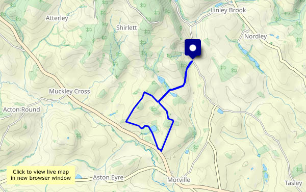
View OS map on Streetmap http://www.streetmap.co.uk/map?X=355695&Y=304040&A=Y&Z=120


")


")