Clear Skies over Clee Burf

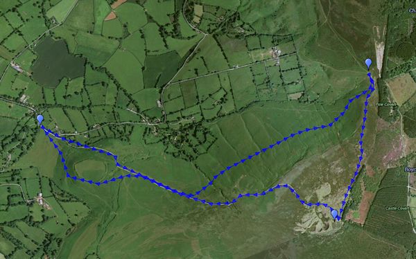
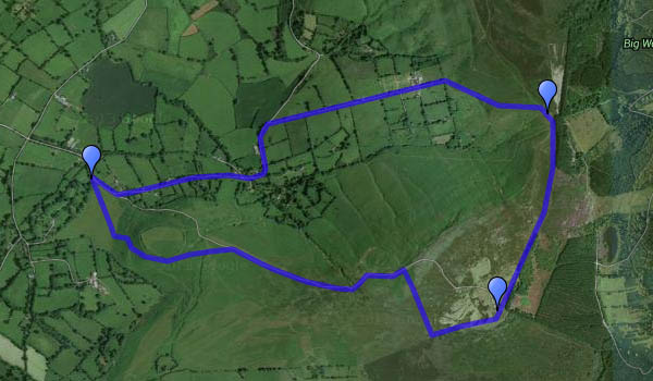
A cloudless (almost) blue sky – bright sunshine, no wind and frost on the ground. Domestic duties will have to wait – we’re off to Clee Hill again, walking up to the radio mast (not quite a scenic highlight) on Clee Burf. The light becomes warm as the air grows colder, and we’re back to the car just minutes before sunset. It’s great to be out on afternoons like this.

MapOr view OS map on Streetmap http://www.streetmap.co.uk/map.srf?X=358500&Y=284901&A=Y&Z=120&ax=358625&ay=284851

Mist on the Chase

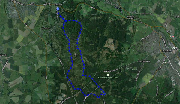
It was more like fog at home, and might be worse further west. We headed east instead, for a walk on Cannock Chase, from Milford to the visitor centre at Marquis Drive (tea, sausage rolls, cake – we try to live life to the full). Our outward route followed, roughly, the old railway trackbed – not so easy at the southern end of the walk. Returning, we made our way to the Sherbrook valley, retracing our steps only for the last half-mile down the cutting. As forecast, the day gradually brightened, and the sun began to break through towards the end of this very pleasant ten-mile trip.

Map

Or view OS map on Streetmap http://www.streetmap.co.uk/map.srf?X=398585&Y=317851&A=Y&Z=120

Another afternoon on the Mynd

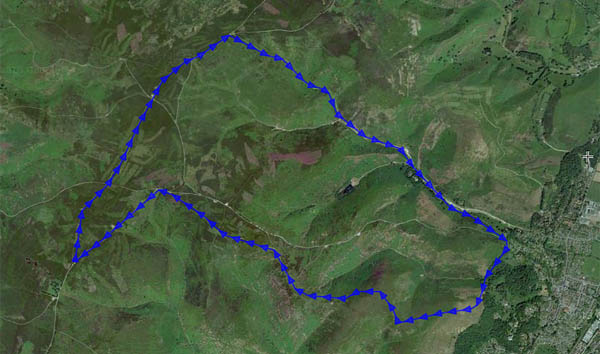
Monday: the weather’s too good to stay indoors (and it can’t last) – we’re wandering on the Long Mynd, making the most of what little light there is in late November. The steep hillside path takes us quickly up into the sunshine, and by the time we’re coming back down Mott’s Road, it’s almost gone. Instead of the heavy clouds that shaded us yesterday, there’s lots of wispy cirrus, much of it forming from jet trails. And instead of that biting wind, there’s just a gentle breeze. Perfect!

Map

Or view OS map on Streetmap http://www.streetmap.co.uk/map.srf?X=343240&Y=294746&A=Y&Z=120

To the Battlestones

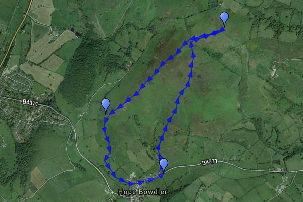
We did this walk, more or less, this time last year – more or less. Late November is good on the Hope Bowdler hills, or perhaps it’s the other way round. A stubborn bank of cloud limited the sunshine on the ridge, though there was plenty of sunlight in the distance, and the wind was biting, briefly carrying a light shower of rain (that wasn’t forecast!). We sheltered, more from the wind than the rain, behind the Gaerstone for a few minutes, before descending the last of the ridge as the sun dropped.

Map

Or view OS map on Streetmap http://www.streetmap.co.uk/map.srf?X=347350&Y=293596&A=Y&Z=120

The Christmas Cheshireman

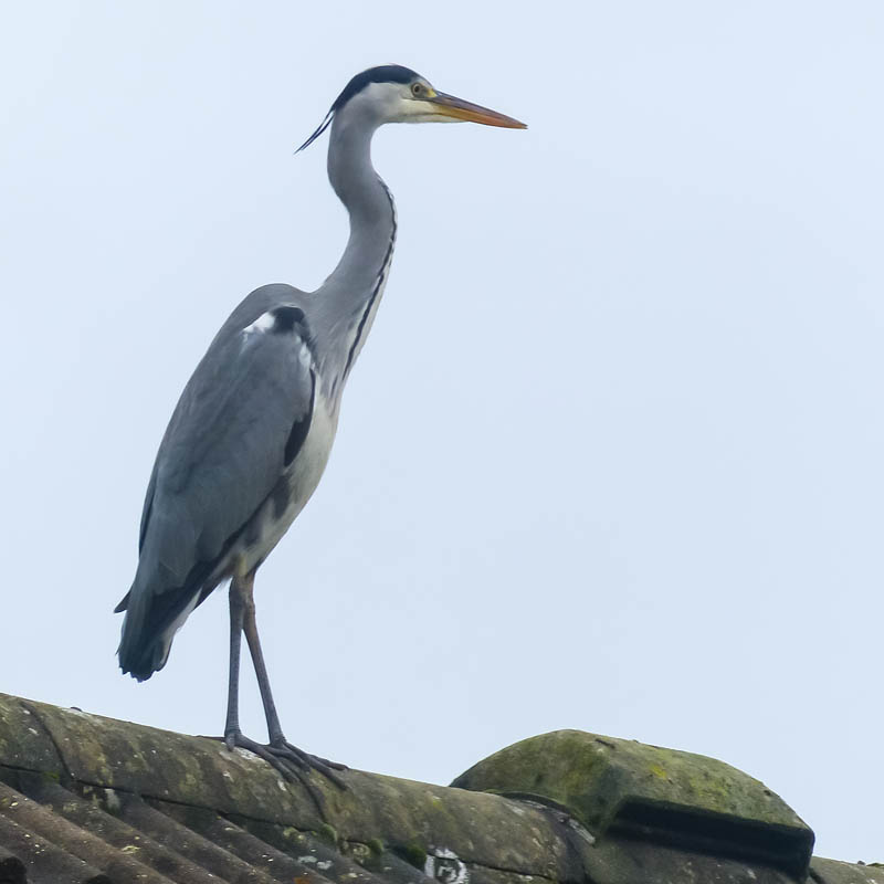
DSC_0652…was the name of the train, a trip from Bristol to Chester for the Christmas market. It was going to be hauled by Tangmere, an un-rebuilt Bulleid pacific, but earlier in the week, Tangmere was advised as “unavailable”, and instead the reliable duo of 44871 and 45407 would haul the trip. At about the same time, the weather forecast was rather unfriendly – happily, the forecast improved, and in the event, the morning’s fog cleared to bright sunshine. Here they are, Black 5s 44871 and 45407 hurrying along, on time, near Stokesay with the Christmas Cheshireman.

There are two steam-hauled specials next week, bringing passengers to the Ludlow Christmas markets – fingers crossed for the weather…

Green Fields of Morville

A walk from Morville to Hurst Farm pools – out along the quiet lane to Haughton, back down the (public footpath) drive from Aldenham Park. There had been some heavy rain overnight – field paths would be hard going, so we stuck to known good surfaces. The grey skies had cleared by lunchtime – the afternoon was fine, bright and sunny – and surprisingly warm.

Map

Or view OS map on Streetmap http://www.streetmap.co.uk/map.srf?X=367370&Y=295321&A=Y&Z=120

November on Clee Hill

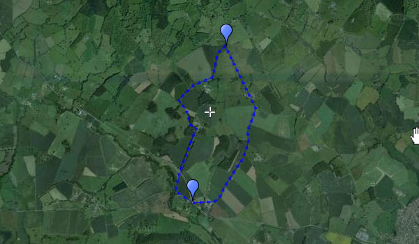
One of those rare afternoons when the sun shines from an almost-cloudless blue sky. It’s cold, and there’s a chilly breeze on top, but it’s a great day to be out on the Shropshire hills.

I’d include a map of the route, but Google have introduced “new My Maps. Better tools for mapping”. ’nuff said.
9 Nov: I’ve been trying Scribblemaps – see below

Map

Or view OS map on Streetmap http://www.streetmap.co.uk/map.srf?X=358500&Y=284901&A=Y&Z=120&ax=358625&ay=284851


The Roaches and Lud’s Church

The Roaches lie just a few miles north of Leek, in Staffordshire. The name derives, supposedly, from the French les roches – the rocks. It’s a most appropriate name too – there are rocks in profusion. The gritstone outcrops along the ridge are spectacular – a great subject for the camera on a day like this, with bright sunshine and low lighting angles.

Not far from the Roaches is another gritstone feature – this time, a deep rocky chasm perhaps 100 yards in length, “Lud’s Church”. Formed, it is thought, some time after the last ice age, a slippage towards the valley has created this remarkable feature. It’s well hidden in the pleasant (if somewhat muddy) woodland, though well signposted – the footpath runs along its length.

The walk back to the car ought to be an anti-climax, but it’s not – the ridge walk back to the road is airy, with excellent views. The afternoon has worn on – the light is distinctly golden for the last stretch, the very quiet road beneath the Roaches taking us back to the car.