Spring in the air

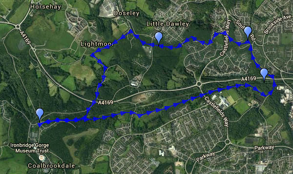
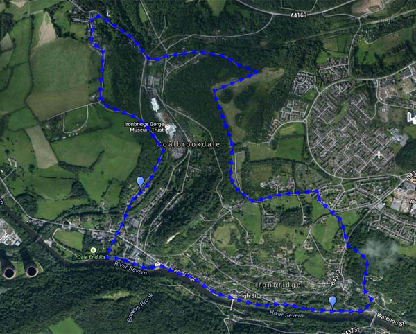
It’s been cold and showery recently, but today the temperature made double figures, and the Met Office reckoned it wouldn’t rain before four o’clock. We’d better get out and stretch our legs. Considering that the walk began at Bedlam (the old furnaces beside the Severn), it was quiet in south Telford. We crossed the hill west of Woodside and descended (a little) to the coke hearth, before heading up to Sunniside, returning to the dale past the assorted livestock at the farm – donkeys, llamas, ostriches and geese (and possibly more). We’re heading for the tea room beside the old railway station (excellent cakes – worth hurrying to get there before they close at 3pm). Suitably refreshed, we follow the riverbank back to the car.

Map

View OS map on Streetmap http://www.streetmap.co.uk/map.srf?X=367415&Y=304216&A=Y&Z=120

Snowdropping

“We need to go and see the snowdrops at Attingham”. Yes, I suppose we do, and it looks like being rainy tomorrow and Friday. They are worth seeing, and there will perhaps be tea and cake afterwards. The snowdrop woods are busy – it’s half-term, and there are lots of kids-and-grandparents out today. They’re not really interested in the snowdrops, but that familiar shrill chatter is evidence that they are enjoying their outing (I’m referring to the kids, of course). We continue beyond the snowdrop woods to follow the park perimeter path, and it’s much quieter, perhaps because there’s a crocodile in the swamp. A gap in the trees reveals, perhaps 1km distant, a Roman villa. Is reality on the blink again?

Attingham Park (NT)

Barrow, Willey and Shirlett

It’s dry and bright, a good afternoon for exploring. It would have been sunnier too, if we’d not been tied up earlier in the day. There are three stretches of road walking en route – the first, the Wenlock to Broseley road, is fairly busy, but there’s ample verge to hop onto when needs must, and it’s downhill… The other roads are very quiet, and quieter still, respectively. And away from the lanes, there’s just the birds, twittering and rustling in the undergrowth. It may be half-term, but there’s no-one else about.

MapView OS map on Streetmap http://www.streetmap.co.uk/map.srf?X=365975&Y=298916&A=Y&Z=120

A hazy day on Wenlock Edge

The views wouldn’t be great today. It was very hazy, and there was little chance of sunshine. A walk in woodland might be good – how about Wenlock Edge? There’s a little NT car park where the Hughley road leaves the Wenlock – Stretton road. We could walk along the edge path above the quarries, then back along the track through the woods, a little lower down. We could walk, that is, where the path was fit for walking. No farmers’ tractors this time, just the popularity of the path to blame for the mud, in places barely passable. There may not have been any distant views – a clearing in the trees provides a viewpoint for the Wrekin, way beyond the limit of visibility this afternoon – but it was pleasantly atmospheric, and was it a touch warmer than recently?

MapView OS map on Streetmap http://www.streetmap.co.uk/map.srf?X=359285&Y=298596&A=Y&Z=120

Sunspots and Thresholds

Thresholds is a farm, at the northern end of Betchcott hill, between Picklescott and Ratlinghope (yes, really – this is Shropshire); sunspots are sunspots. The morning’s mist cleared to a blue sky; we chose a route which should make the most of the sunshine. There’s no wind to speak of, it’s a beautiful afternoon to be out on the hills. There’s still some snow too – it’s melting, but there’s plenty of white in the landscape. As we drove to the start of the walk, we could see banks of mist away to the north, with the Wrekin behind. As we turned back towards the car at Thresholds, the view to the north opened up again – in the place of the mist, there was a sea of murk. Before we knew it, the murk had engulfed us – not thick fog, but an eerie mist through which a pale sun was barely visible.

Sunspots: I took a couple of pictures of the aforementioned pale sun with the lens at full zoom; when I studied them 1:1 on the computer screen, I could see darker spots on the sun. First thought: dust spots on the camera sensor. Then I realised they were in the same place on the sun in both pictures, though the sun was in a different part of the picture. A quick check on the web – see http://sohowww.nascom.nasa.gov/data/synoptic/sunspots_earth/sunspots_512_20150208.jpg – confirmed my guess. Sunspots! Haven’t seen sunspots before…

Map

View OS map on Streetmap http://www.streetmap.co.uk/map.srf?X=342310&Y=297956&A=Y&Z=120

Cain, Abel and Jericho

We’re in Wales today – lunch at the Cain Valley Hotel, Llanfyllin, followed by a walk in the attractive hills to the east, just across the river Cain. There is a river Abel here too – it joins the Cain at Llanfyllin. It looks little more than a brook on the map, but it makes a good story… Maintaining the biblical theme for just a little longer – we’re walking to Jericho Hill! If the weather had been different we might have stood atop its grassy summit – but we’d have felt the full force of the bitter northerly wind, so we stayed on the path in the hollow. Away from the wind, it was very pleasant in the warm sunshine, which lit the landscape like a floodlight, really bringing out the colour.

Map
View OS map on Streetmap http://www.streetmap.co.uk/map.srf?X=316004&Y=319473&A=Y&Z=120&ax=367365&ay=301641

Snow on the Wrekin

It’s not a very high peak, but snow on top made the Wrekin look most inviting. I accepted! It’s cold today –  lower down, on the northern slopes, the mud on the path was frozen hard. Higher up, the snow had been well trodden and polished, and the path was treacherous. The antics of descending walkers persuaded me to continue over the top and down through the trees towards Little Hill, to return through the woodland. The sun, which had sneaked behind a patch of cloud, came back out and shone brightly again once I was well into the forest. There’s no snow down here, and the air has been warmed a little – there’s serious mud…

MapView OS map on Streetmap http://www.streetmap.co.uk/map.srf?X=362970&Y=308206&A=Y&Z=120

S for Shrewsbury

Should we be up on the hills in the snow? It’s a bright but cold afternoon, with a biting wind – perhaps something a bit more sheltered. We decided on a walk beside the Severn in Shrewsbury, a route that in my mind was roughly S-shaped. Looking at the map afterwards, it’s a bit more than an “S” – not sure how to describe it. Inevitably, though the sky was mostly blue, the sun spent much of its time behind a (relatively small) bank of cloud.

MapView OS map on Streetmap http://www.streetmap.co.uk/map.srf?X=349224&Y=312694&A=Y&Z=115&ax=349252&ay=312687

The Aqueduct

A district of Telford is named after the c1792 sandstone bridge built to carry the western branch of the Shropshire Canal over the turnpike road. Both are long redundant, but their courses remain. Though we’d driven through the area very many times, we’d never sought out the structure – perhaps we ought to go and have a look? Sadly, it’s in need of renovation, and much of it is hidden behind corrugated steel sheets. We walked there from the “coke hearth” at the top of Coalbrookdale, along the trackbed of a pre-railway age tramway, with beside us the railway which still carries fuel to the power station. We left this route where it was once crossed by the Coalport branch line, following the latter a short way to the aqueduct. Now our route would follow, on and off, the canal – to a point where it was crossed by a wagonway – another ancient bridge with a plaque to confirm the fact, though its construction date seems to be unknown. Whatever its age, it made an excellent spot to shelter from a sudden sharp flurry of snow… We returned to the car along rough lanes before descending once again to the wagonway beside the railway. Most of our walk had been on, or beside, ancient transport routes, mostly unseen and unknown by today’s road users.

Map
View OS map on Streetmap http://www.streetmap.co.uk/map.srf?X=367995&Y=305276&A=Y&Z=120

Tiles

Many tiles – more than the mind can comfortably comprehend… We’re wandering around the museum at the former Craven Dunnill tile factory in Jackfield (part of the Ironbridge Gorge museum). There’s a new gallery open, displaying the John Scott collection. There are some wonderful colourful designs (and some hideous Victorian monstrosities!), but there’s far too much to take in in a single visit. Tile overload! We’ll have to come again…

Jackfield Tile Museum IGMT