Ferry Point

24th August: It’s Rubha na h-Aiseig on the map – and just a mile further north is Eilean Trodday. The island was inhabited once – was this where the ferry departed? There’s no road, and barely a path, but the route is fairly obvious. The descent from the rocky cliff-top to the shore follows what seems to be a made way – a well-graded route with a single zig (or zag?) close to its foot. There was no shortage of tourists on the single-track road round the north of Trotternish (16-registered hire cars, terrified expressions on their drivers’ faces… I’m guessing, of course) but on this short walk, we’re alone – apart from one solitary sheep, lots of gannets, and the crew of a passing yacht. After two days of motorways and busy roads, it’s perfect!

View OS map on Streetmap http://www.streetmap.co.uk/map.srf?X=143933&Y=875636&A=Y&Z=120

Lowland Leven

22nd August: later that day. There’s a Loch Leven in the highlands, which was probably better known before the Ballachulish bridge was built – motorists would become well acquainted with it, either by crossing on the ferry or driving around it (a lengthy, if scenic, detour). This Loch Leven is in the lowlands, by Kinross, former county town of Kinross-shire. We’re staying overnight, and before we eat, we need a leg-stretch…

Lightspout Ridge

There’s an obvious and inviting route up this ridge, prominent above the Cardingmill Valley. It’s one of those paths which become fainter as height is gained – it’s quite a pull up to the rocks at the top. Beyond, the path is very faint, walked mainly by the four-legged locals, I suspect, and for a little while, I’m wallowing in luxuriant purple heather. The ridge is unnamed on the OS 1:25000 map, but I find myself looking down into the Lightspout Hollow, whose waterfall is a mere trickle in this summer weather. Perhaps this is Lightspout Ridge? (above the reservoir, it’s “Cow Ridge”, but that doesn’t seem an adequate description). A more obvious path now takes me down to the path above the waterfall, where, having met no-one since beginning the ridge path, I’m back amongst the (relatively speaking) crowds. I’ve done this short walk on my own – the others will be in the tea room, so I’d better not hang about now…

View OS map on Streetmap http://www.streetmap.co.uk/map.srf?X=343450&Y=295043&A=Y&Z=115

Wilderhope

This Elizabethan manor house in the Wenlock Edge’s Hope Dale, is a National Trust property – and a youth hostel. The steel-framed bunk beds may look incongruous in these timber-framed rooms, but it must be a great place to stay. We’re just passing, however – an hour is sufficient to explore the rambling and disorientating building, truly a 3D maze. Outside the house, Hope Dale is unbelievably quiet, and very green.

Wilderhope Manor YHA
Wilderhope Manor NT

Rhiw and Vyrnwy

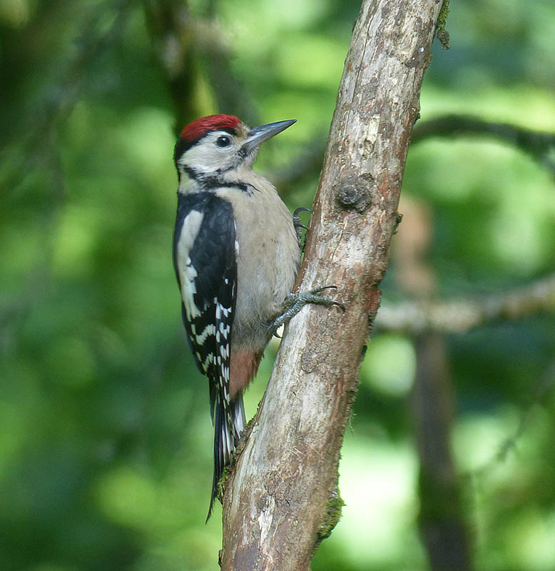
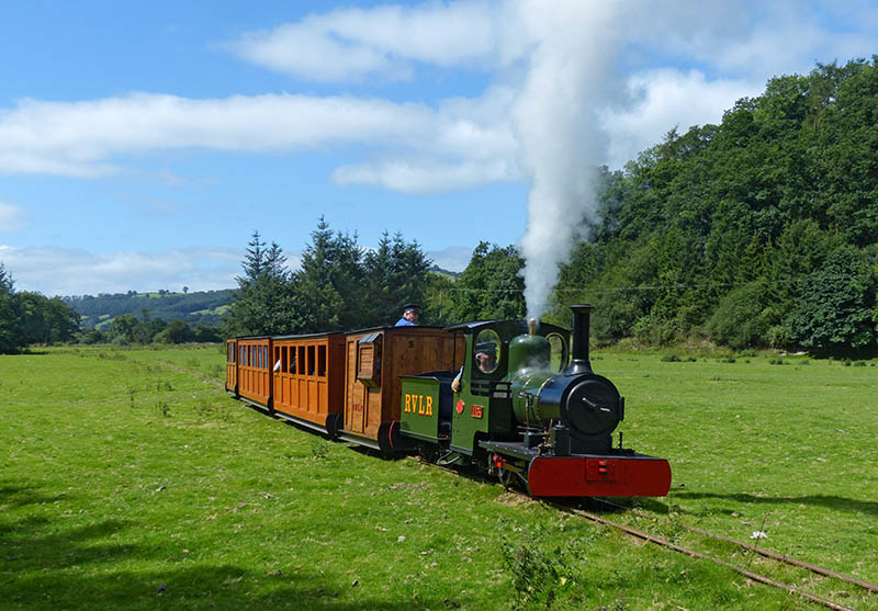
We’re in mid-Wales: after our visit to the Rhiw Valley Light Railway, near Manafon, we drive along very pleasant back-roads to Lake Vyrnwy. It’s not natural – the reservoir supplies water to Liverpool – but it’s very enjoyable to gaze across its waters to the remarkable fairytale castle (more properly known as a straining tower) and the green hills beyond. It’s also good to spend a little while in the RSPB hide, mere yards from the end of the dam, where the birds are just inches from the glazing. It’s easy to take pictures of them, but very difficult to take good ones – the glass is not totally transparent, the light is tricky, and the birds spend most of their time with their heads in the feeders. There are more good things here – rather fine ice-creams from the cafe next door…

For more on the Rhiw Valley visit, check out August in the Rhiw Valley on Geoff’s Rail Diaries.

Mid-Wales

Lesser spottedRhiw Valley - JackA day out: a visit to the 15″-gauge Rhiw Valley Light Railway, and a few minutes in the RSPB hide at Lake Vyrnwy. The RVLR’s “Jack” and “Powys” are easily spotted, trundling around the fields beside the Rhiw. The woodpeckers are, of course, lesser spotted. More to come…