Around Brown Clee

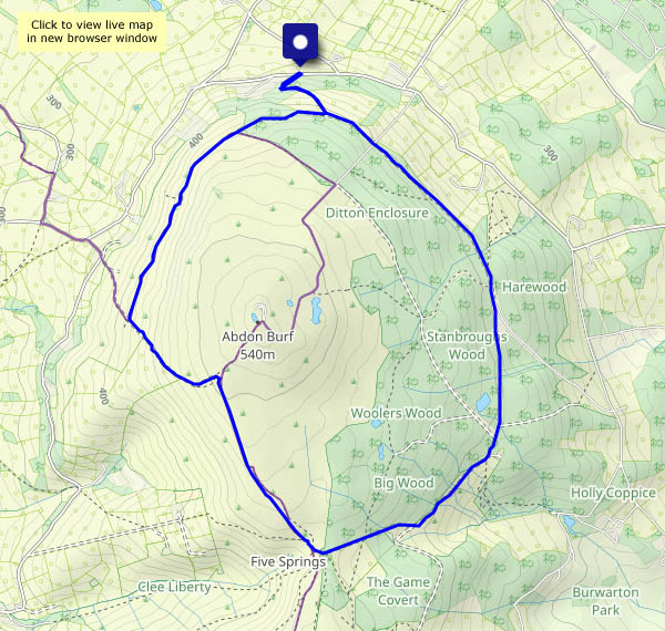
Sunday 10 April: We don’t need to visit the summit, though at the highest point of this roughly circular walk, we’re barely 100 feet below it, and no more than 400 yards away. It’s a hazy day, so the views aren’t spectacular, but they’re pleasant and extensive in all directions (and despite the haze, we can make out the top of Pen-y-Fan in the Brecon Beacons, 55 miles distant). It’s a fine and bright Sunday afternoon, but there’s hardly anyone else around – the number of fellow wanderers we encountered didn’t reach double figures.

View OS map on Streetmap http://www.streetmap.co.uk/map?X=359720&Y=286625&A=Y&Z=120

To the bridge

We need to walk down to Ironbridge to buy some cards, apparently. We’ll go this morning, as there’s a chance of a shower this afternoon (again! It is April, of course). I’ll take the camera…

One of the photos below depicts some old brickwork, topped by steel sculpture. Only very recently (after more than 40 years of walking past it) I discovered that it was the southernmost support of the former railway station footbridge, which spanned the road alongside as well as the tracks. There’s always something of interest to discover!

Windy around Willey

A quick morning outing – the forecast (which was accurate) thought there was a likelihood of some heavy showers this afternoon… It’s windy, with some strong gusts – down here, in the sheltered domain that is Willey, Linley Brook and the Smithies, it’s relatively calm. The sunny intervals are brief and predictable in that the sun goes behind the clouds whenever I raise the camera, nevertheless it’s very pleasant walking these quiet lanes

View OS map in Streetmap http://www.streetmap.co.uk/map.srf?X=367470&Y=298250&A=Y&Z=120

Sunshine and snow showers

Snow showers? It must be spring! It’s pretty cold too, with an icy breeze in the more exposed parts. Out of the wind, the sunshine is warm, and the shower’s only a few flakes in the wind. There are more around though – we’ve done well to avoid them. A pleasant walk (keep moving!) in the quiet countryside around Hurst Farm and Aldenham Park.

View OS map on Streetmap http://www.streetmap.co.uk/map?X=366910&Y=295745&A=Y&Z=120

Old ways to Little Dawley

There are old railways, the routes of old plateways and a former canal crowded into the land between the top of Coalbrookdale and Little Dawley.  The canal was effectively replaced by the railway, the last traffic on which ended when the power station closed. Its track is still in place, unlike the plateways, last used in this area in the 1930s. Their former trackbeds provide walkers with interesting and quiet byways through this surprisingly rural part of south Telford.

View OS map on Streetmap http://www.streetmap.co.uk/map?X=367690&Y=305690&A=Y&Z=120