Kites above the Devil’s Chair

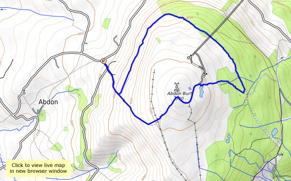
They must have thought as we did – that it was a perfect day for the hills, almost too good for mid-March. A cloudless sky, warm sunshine, cool air and the lightest of breezes – much better than mid-summer. Fewer people about, but at least four red kites. First there was one on his (or her) own, then another, then a pair, hurrying away to the north – and moments later, another pair circling to our south. The alpacas and llamas were enjoying the sun too. This is south Shropshire, isn’t it? It’s hard to be sure sometimes.

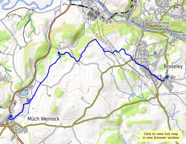
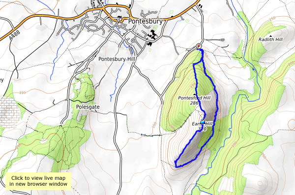
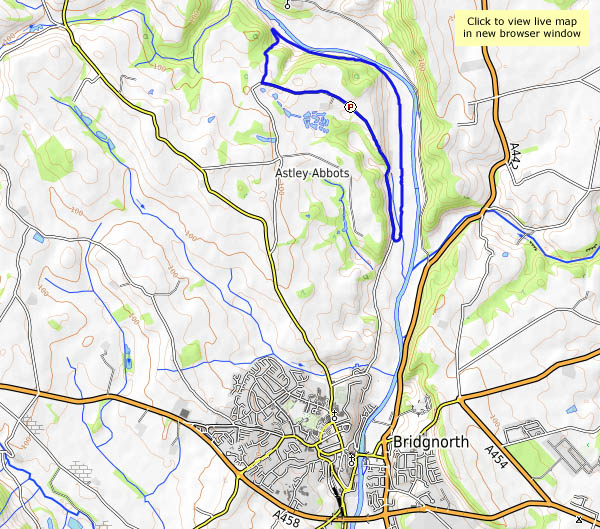
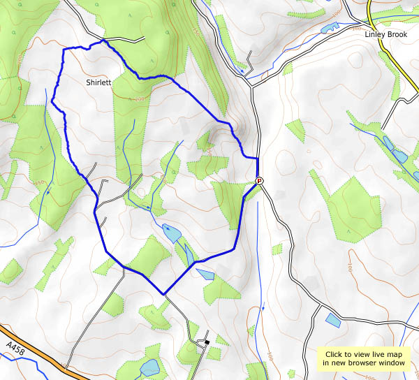
View OS map on Streetmap http://www.streetmap.co.uk/map.srf?X=336680&Y=299146&A=Y&Z=120

Walking back from Wenlock

It’s become a good standby – bus to Much Wenlock, walk back. We might have gone further afield, but the weather forecast wasn’t great (so, inevitably, the weather was better than we expected). Spring flowers are beginning to appear in the hedgerows, there are spring lambs in the fields, and it’s warmer than it’s been for a while. There’s only one downside – the tea room at Benthall Hall isn’t open on Mondays…

View OS map on Streetmap http://www.streetmap.co.uk/map.srf?X=364940&Y=301386&A=Y&Z=120

Manchester tramblers

…the second crossing…

No, we haven’t gone religious – that’s ‘crossing’, not ‘coming’. We were in Manchester yesterday, for a ride on the tram routes we didn’t have time for last year. We’ll include the new ‘second crossing’ – the alternative route across the city centre for trams running between St Peter’s Square and Victoria, which opened just over a week ago. If we’re lucky, there’ll be time for a pint later… For more, and lots of pictures, visit “The second crossing” on Geoff’s Rail Diaries.

Earl’s Hill

It’s not one of Shropshire bigger hills – just 320m (1067 feet) – and it stands alone, not easy to incorporate into a longer walk. But it’s an obvious landmark from the north, on the winding Bishop’s Castle road from Shrewsbury. “Must walk up there one day”. Today was that day! A most enjoyable little walk it was, too – barely 3 miles, and a fair pull up through the muddy woods of Pontesford Hill, but well worth it for the extensive views. It would be even better on a clear day…

View OS map on Streetmap http://www.streetmap.co.uk/map.srf?X=340745&Y=305086&A=Y&Z=120

Down by the river

There’s a spring in our step today: meteorological spring began on Wednesday, apparently, and there’s spring in the mild air of this mostly-pleasant afternoon (there are a few raindrops too, but who’s counting?). We’ve parked beside the very quiet Colemore Green road, and we’ll walk back along the road towards the houses, where a footpath descends to the old railway line, just across the Severn from Apley Hall. Now we’re walking along the railway trackbed (the riverside path will be very muddy) – sadly, it’s more than 50 years since trains ran here, and they (almost certainly) will never again run here. We can only walk so far along the track – nearer Bridgnorth, it’s disappeared altogether beneath the carefully-mown grass of the golf course – so we’ll return to the lane and walk back to the car.

map

View OS map on Streetmap http://www.streetmap.co.uk/map.srf?X=371750&Y=296526&A=Y&Z=120

After Doris Day

Friday – the sun’s shining, and we’re taking a walk down to the Severn, on the day following storm Doris. Others were worse affected, I think, though there were one or two trees down (fairly rotten specimens, it has to be said), and one or two houses lost a ridge tile. It’s more sheltered in the valley, and the weather’s mild enough for us to sit outside the youth hostel at Coalport for our tea and cake. We’ll head for home the shortest way – up the dingle with its wonderful hanging gardens, and not-so-wonderful mud. Can’t have everything!

Brown Clee skyscapes

The sky’s blue today, with photogenic clouds (best kind) – let’s have a walk on Brown Clee! We’ll walk up from the telephone box (it’s a free library these days) and take the terrace path around the hill to the far side. At first on the open hillside, it later skirts the forest, where there’s some attractive deciduous woodland beside the conifers. When we meet the path up the east side, from the picnic place, we make a gentle and cautious (it’s a bit sticky underfoot) ascent to the summit where, for a few minutes, we’re the highest people in Shropshire. It’s downhill from here, of course, but no-one has told the water – the moor is rather squelchy. But who cares? It’s great up here on a day like this.

Soon we’re back at the car – better change the library books before we head for home…

map

View OS map on Streetmap http://www.streetmap.co.uk/map.srf?X=359115&Y=286916&A=Y&Z=115