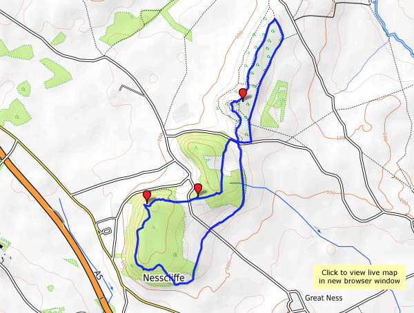
Nesscliffe and The Cliffe

The road through Nesscliffe village is much quieter since the A5 bypass opened, though up on the hill the traffic noise from that bypass is somewhat intrusive. As we wander on around this little group of low sandstone hills, away from the road, the sound fades. It’s quiet here – although the afternoon is dry, it’s grey and gloomy, and there are few others about. Nesscliffe Hill is wooded, with few viewpoints; The Cliffe is more open, and though of insignificant height (157 metres – that’s 515 feet) the views are extensive. That is, they would be, on a clear day…

View OS map on Streetmap http://www.streetmap.co.uk/map.srf?X=339110&Y=320151&A=Y&Z=120


Rain, hail and snowdrops

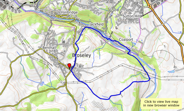
We needed to call into the shops in Ironbridge – “We could walk down, have lunch and walk back the long way”. We did! It’s not warm, but we soon warm up, and it feels pleasant after last week’s Siberian snowfall. There’s a possibility of showers, apparently, maybe of hail or snow – and yes, there’s hail (which bounces off) and a little rain (which doesn’t). After the rain, the skies clear – to reveal more shower clouds approaching. We’d better not hang around.


View OS map on Streetmap http://www.streetmap.co.uk/map.srf?X=368730&Y=301831&A=Y&Z=120

Coalport cakes

They were an unexpected bonus – we hadn’t realised the hostel cafe was open, and despite the cold, there was enough sunshine and shelter for us to sit outside. Other than the café, a couple of lambs and some catkins, there are few signs of spring. We’ve got some cold weather to get through before things warm up.

opentopomap.jpg

View OS map on Streetmap http://www.streetmap.co.uk/map.srf?X=369350&Y=301556&A=Y&Z=120


Up the dale

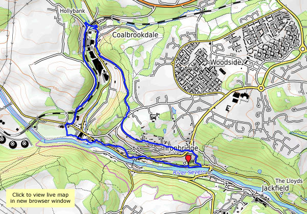
Saturday 17 Feb: It was cold, but clearly it was sunny too – just a day later, before looking through the photos, I’d remembered the weather being dull. Memory plays tricks! We’re walking in the Ironbridge area, following mostly quiet roads away from the Wharfage, which is always busy. There’s always something to catch the eye in this part of Shropshire.

View OS map on Streetmap http://www.streetmap.co.uk/map.srf?X=367260&Y=304311&A=Y&Z=120

A cold day in Callow Hollow

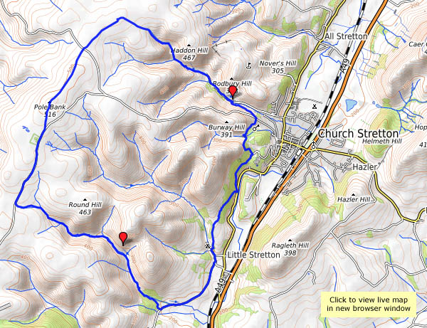
Monday 12 Feb: The wind felt stronger (and colder) and there was more cloud than the forecast had suggested, but it was still a good day (sandwiched between some pretty awful days) for an outing. We thought there might have been some shelter in Callow Hollow – and there was, beside the little Oakleymill waterfall, sufficient for a lunch break. The flurry of snowflakes waited until we were moving again – then, as we reached the summit plateau, the sky cleared, and suddenly the world was colourful once more. Given good weather, the top of the Mynd is a great place to be.

View OS map on Streetmap http://www.streetmap.co.uk/map.srf?X=343480&Y=292591&A=Y&Z=120