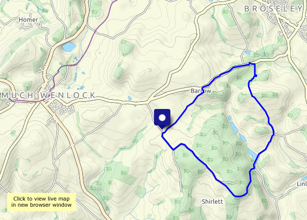
To Barrow and Willey – a Shirlett circle

Apart from the tail-end of a shower, as we were setting out, we managed to avoid most of the afternoon’s rainfall. We didn’t avoid the outcome – wet legs, soaked by sodden undergrowth in the first couple of fields. Despite the weather, it’s good to be out, though only one other walker seemed to think so. This is quiet country!

View OS map on Streetmap http://streetmap.co.uk/map.srf?X=366190&Y=298996&A=Y&Z=120

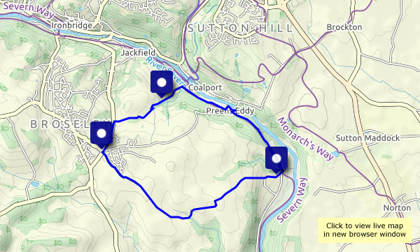
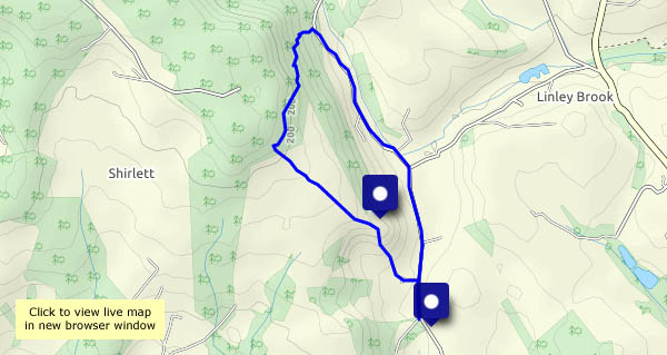
Down the dingle

It’s a rocky-sided gorge, taking a stream which is rarely more than a trickle down to the Severn at Coalport. Provided the mud is tolerable, it’s a very pleasant and quiet way. At its foot, we meet the old railway track, which we’ll follow as far as the end of the rough lane which will take us back up to the barley fields and home. On the lowest part, just beyond the old railway, heavy rain has exposed the red sandstone – we’ve reached rock bottom!


View OS map on Streetmap http://www.streetmap.co.uk/map.srf?X=369485&Y=301400&A=Y&Z=120

Ringlets

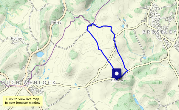
Commas, meadow browns – and thousands of tortoiseshells! We walked this way in May, when the colour was yellow, provided by acres of oilseed rape. There’s precious little colour in the crops now, but there are more butterflies than we’ve seen for a long time. Mostly they’re restless tortoiseshells, but there are some less frequently seen – a comma, several meadow browns, and ringlets – and they’re all prepared to pose for the camera.

View OS map on Streetmap http://www.streetmap.co.uk/map.srf?X=365225&Y=301215&A=Y&Z=120

We could get wet

An afternoon of sunshine and showers, some of them heavy… The evening’s not looking any better. Let’s chance it – if we take the waterproofs, it won’t rain. That was very nearly true – on the way back, it rained just enough to make us put them on – and then stopped. Despite weather worries, it’s very pleasant out, much cooler and fresher than a couple of days ago.

A hawk-moth and a mossy path

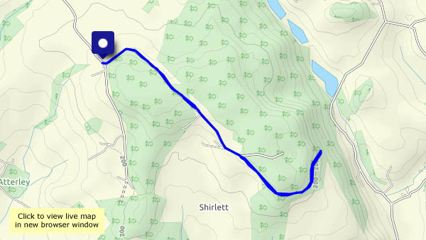
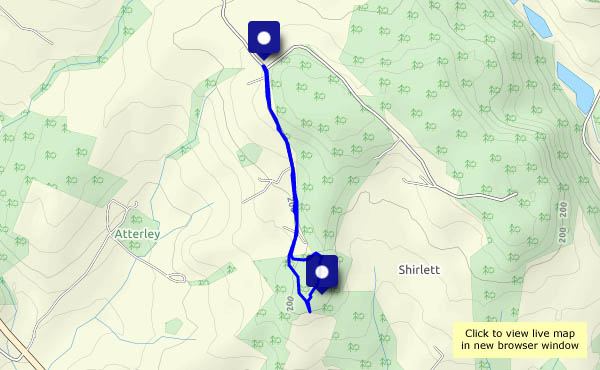
What a difference! After two very warm evenings, the temperature is much more temperate. This is a very short walk, down the other lane at Shirlett and out to Hawthorn Bank. There are hazel nuts in the hedge, and whatever is that? We saw it in flight first, looking like nothing else we’d seen. When it landed on some sycamore leaves, it was obvious – a large moth, none other than a hummingbird hawk-moth. We don’t see those every day! On the way back, we’ll follow the footpath through the wood. It’s not marked at either end, but oddly enough, in the middle of the wood where the path is obvious, there’s a waymarker. The woodland may be coniferous, but the trees are well-spaced, and the floor is a carpet of moss. It’s all somewhat other-worldly. If the path has a fault, it’s length – lack of it, to be precise. Paths like this need be be several miles long!
View OS map on Streetmap http://www.streetmap.co.uk/map.srf?X=365200&Y=297975&A=Y&Z=120

In the gloaming

It’s a warm one again – so we’re having a very leisurely stroll up Ned’s Lane and down past Round Hill. The sun’s still in the sky, and sunset won’t come for another hour or two, but there’s a lovely kind of half-light up there among the trees. If we were further north we’d call it the gloaming…

Shirlett Lane

Wednesday 24 June: It’s early evening, just before 7pm, and though the sun is much lower in the sky, the air’s still warm (27°) and it’s much more pleasant in the shade. There’s plenty of that along Shirlett Lane, and there are one or two more open stretches with views to the Wrekin and the Clee hills. The forest fringe at Ned’s Lane, where we’ll pause a while before heading back, is especially pleasant – I’m tempted to bring beer, a book and a deckchair next time!

View OS map on Streetmap http://www.streetmap.co.uk/map.srf?X=366090&Y=298085&A=Y&Z=120


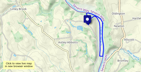
Midsummer Severnside

Down through Chestnut Coppice to the riverbank – then along the bank as far as Bridgnorth golf course. We may be beside the river, but for much of the distance we can’t see it for trees, bushes and invasive knotweed. We return to Chestnut Coppice along the old railway track. A very enjoyable leg-stretch on a fine summer’s day.

View OS map on Streetmap http://www.streetmap.co.uk/map.srf?X=371970&Y=296515&A=Y&Z=120