Three hills…

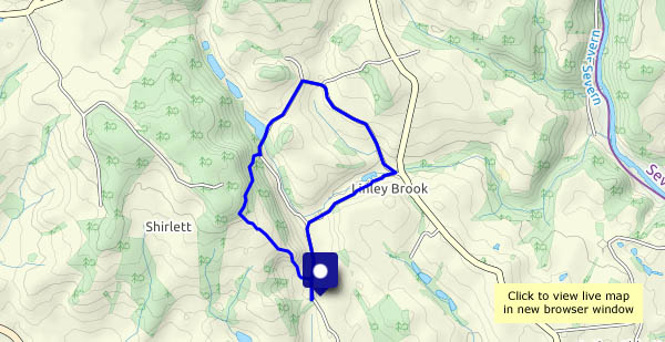
… in the distance. The Wrekin, Brown Clee and Titterstone Clee – all are in view (from time to time) as we wander along the lane at Shirlett. Last time, we walked in a misty drizzle, and had to focus on things close at hand. The walnuts, the cherries and the cattle (and many trees!) are still here, and there’s an interesting but scruffy-looking toadstool beside the road. And it’s quiet – really quiet. As we pause at the top of Ned’s Lane, before heading back, there’s one small bird singing, a little way off. Not another sound!

The estate road and the terrace

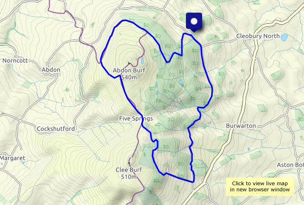
A day on Brown Clee: the weather’s not great – gloomy, cold and just the occasional spot of drizzle – but it’s good to be out on Shropshire’s highest hill. Not a giant, Brown Clee is nevertheless a good viewpoint, and today the air is clear despite the gloom. Higher hills in Wales form a wonderful western panorama – and that summit away in the far south-west must be Carmarthen Fan, a full 100 km distant (just over 62 miles, but it sounds more impressive in metric). Our outward route has taken us along the estate road, then up the steep track to a bench beside Boyne Water. Later, after crossing the summit ridge, we drop down to the hillside terrace, with its views of Corvedale and the Wenlock Edge. A most enjoyable circuit!

View OS map on Streetmap http://www.streetmap.co.uk/map.srf?X=359765&Y=285845&A=Y&Z=120

Quiet? Not quite

This is a very peaceful part of the country, but it’s not at all quiet today. It sounds like a major gun battle is in progress in Shirlett woods. Eventually it’s over (perhaps they’re all dead) – and we realise there are four walkers following behind us. We don’t need to look around – we can hear them talking loudly, more then 100 yards away. Fortunately, at the top of Ned’s lane they go the other way. It’s still not quiet – in the field there’s one of those mammoth tractors (you could make a dozen little grey Fergies out of one) at work making hay. We can’t describe it as quiet. Happily, as we drop down from Round Hill, sanity returns. Almost. There are a couple of young women with a party balloon. Inevitably, it bursts loudly. Back to the car – time for home.

View OS map on Streetmap http://www.streetmap.co.uk/map.srf?X=367490&Y=297955&A=Y&Z=120

Hughley and Church Preen

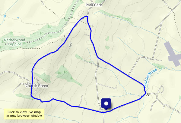
It’s a dry day, after three rather wet ones. Away from good surfaces, it will be muddy, so we’re wandering along the lanes between Hughley and Church Preen. That would have been “quiet lanes…”, but there seemed to be much coming and going around the camp sites near Hughley, where the number of other walkers was almost into double figures. They didn’t seem to venture very far – there’s no-one else out on foot for the rest of the way round. There are good views of the Wenlock Edge and the Wrekin, and from the higher ground, to the Clee Hills. On the ridge near Church Preen, there’s a clear view to the Berwyn mountains in north Wales. An enjoyable little circuit!
View OS map on Streetmap http://www.streetmap.co.uk/map.srf?X=355325&Y=298465&A=Y&Z=120

Belswardyne and Bannister’s

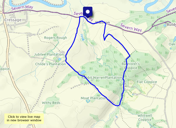
A Sheinton circular: follow the farm lane to Belswardyne, cross the fields to Sheinton Brook, then down beside the old mill race (and the giant rhubarb! Butterbur, I believe… ) and up into Bannister’s Coppice. Field paths take us back to Sheinton. It’s not much over three miles, but it’s a very pleasant and varied wander in another quiet part of the county.

View OS map on Streetmap http://www.streetmap.co.uk/map.srf?X=361105&Y=303155&A=Y&Z=120

The old road

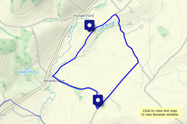
The sign at the start of the section we walked said “Byway”. It was a main way, many years ago. The road from Morville now joins the road from Wenlock to Ludlow at Shipton, bypassing its former route, a three mile stretch to Beambridge. We’re walking along the southern part, on which a tarred surface serves one or two isolated houses – it then becomes a rough unsurfaced track. Well-lined with trees on either side, nevertheless there are good views to the east, to Brown Clee, and to the west to Wenlock Edge. We can hear the traffic on the main road (favoured by noisy bikers), but otherwise this is a quiet route – just the dozens of butterflies for company. There’s no-one else about.

View OS map on Streetmap http://www.streetmap.co.uk/map.srf?X=354162&Y=288740&A=Y&Z=120

Around Aldenham

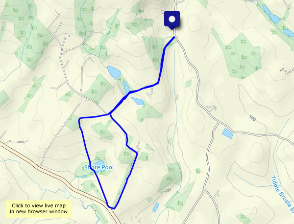
Familiar ways, but none the worse for that. We’re walking past the fishing pools near Hurst Farm, then across clearly-defined paths (thank you, farmer) through fields of ripening wheat and barley, down to Shore Pool. We return up the drive towards the house (a public footpath!) and back past the pools again. Other than one or two people quietly drowning worms, there’s no-one else about.

View OS map on Streetmap http://www.streetmap.co.uk/map.srf?X=366905&Y=295705&A=Y&Z=120