They’re not always obvious, well hidden in the dark undergrowth beneath the trees along Shirlett Lane. But see one, then look around, and there are dozens more! They must like it here – I do!


!")


They’re not always obvious, well hidden in the dark undergrowth beneath the trees along Shirlett Lane. But see one, then look around, and there are dozens more! They must like it here – I do!
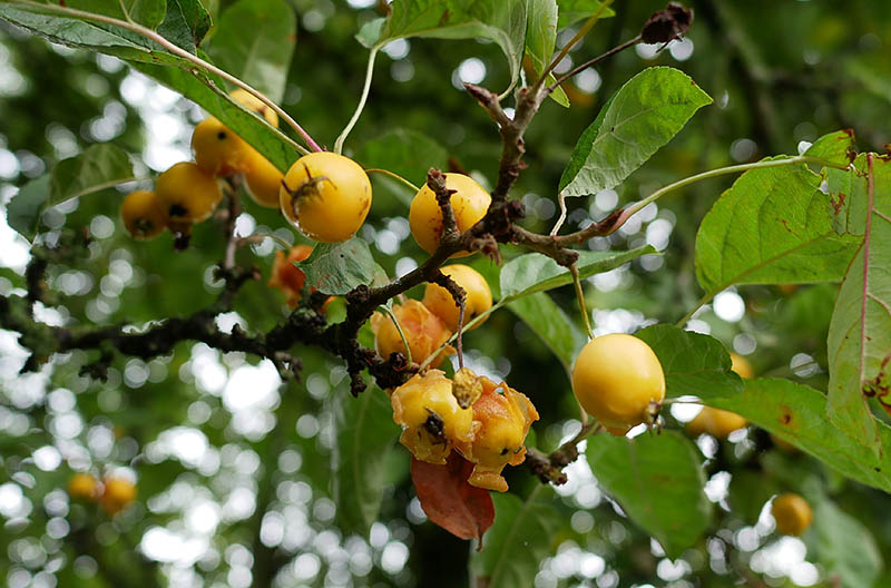
A short wander on a bright autumn afternoon. There may be some sunshine; with luck it will stay dry. No shortage of berries – mostly red, mostly inedible – in and around Red Lane.


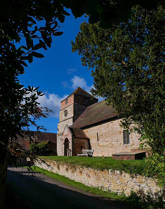
We walked about 11.5 miles today – that’s roughly twice the usual distance, and we had two lunch breaks (plus an intermediate stop on a comfortable bench in St Giles’ churchyard at Barrow), so perhaps it works out at two good walks. I’m putting my feet up (metaphorically) this evening anyway. We’ve got to make the most of fine weather in this unsettled period – as I write, the rain is coming down yet again.


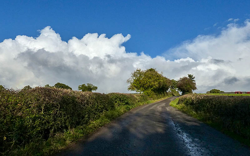
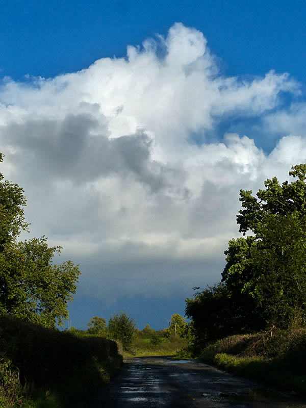
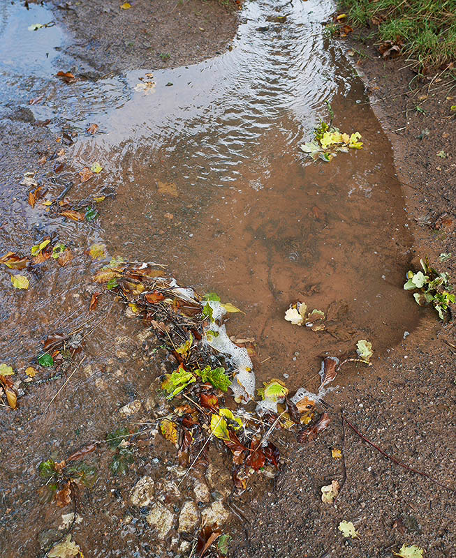
It could stay dry for an hour or so later in the afternoon – we’d better make the most of it. There have been heavy showers all day, with one or two brief sunny intervals. Once again, we’ve been lucky – an hour or so after we got home, it was raining again.
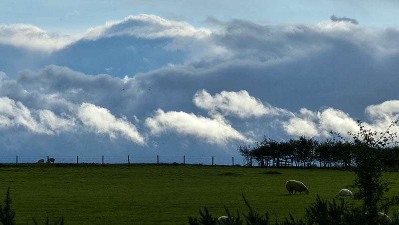
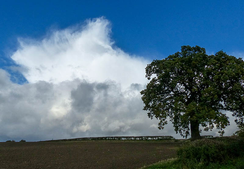
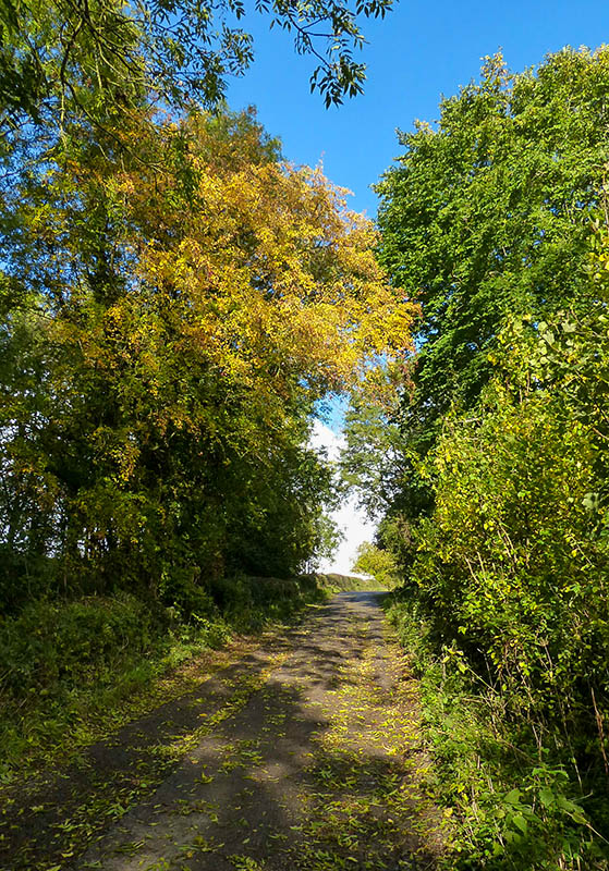

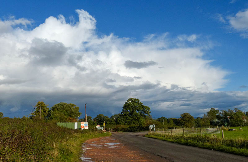
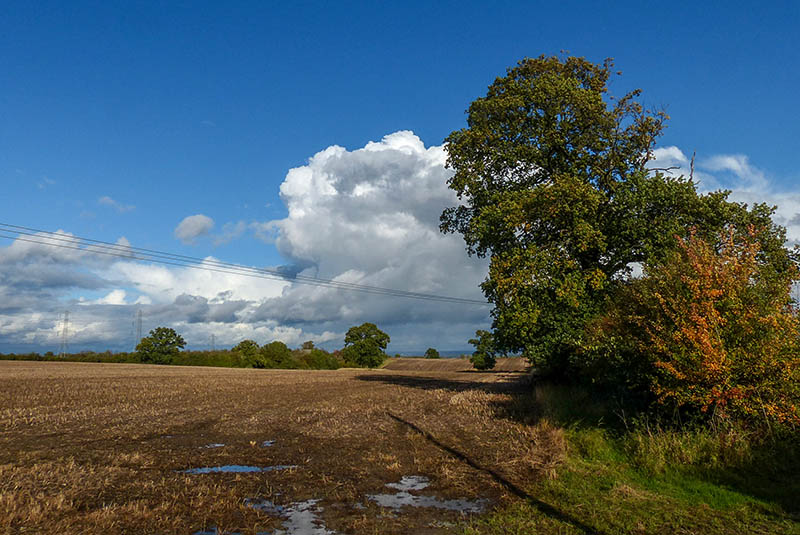
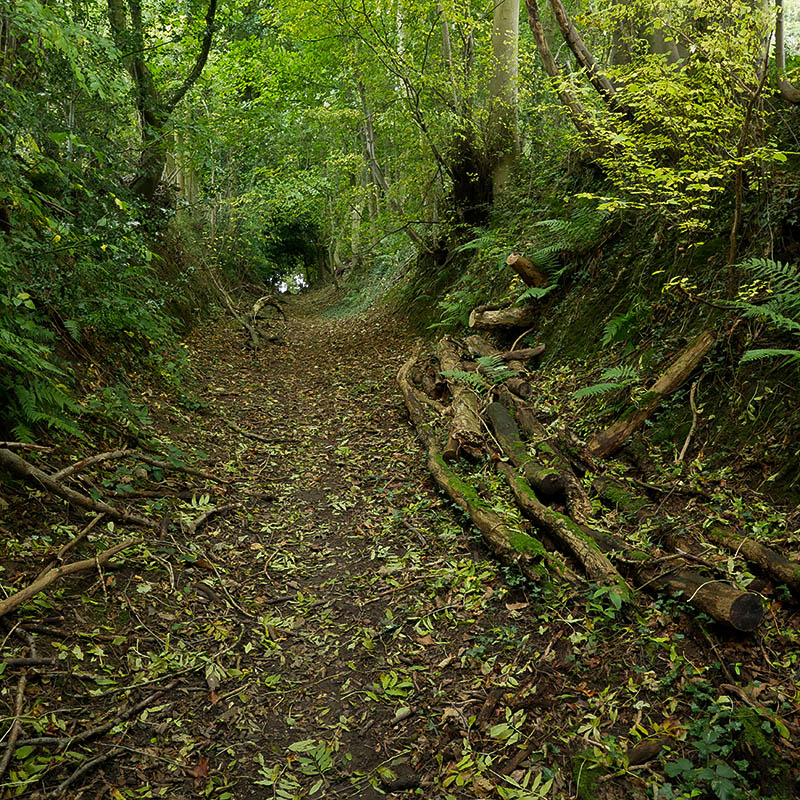
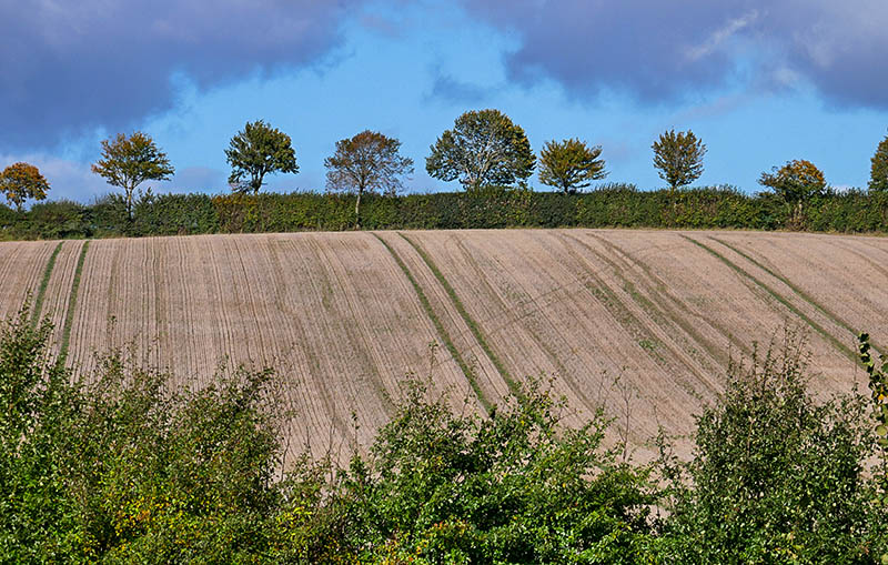
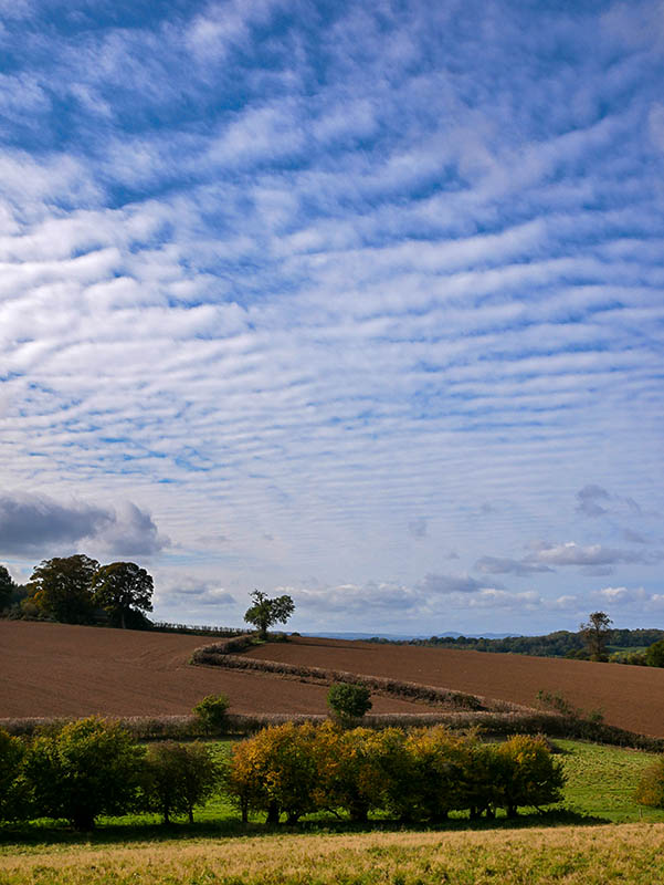
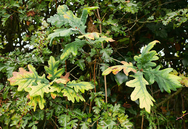
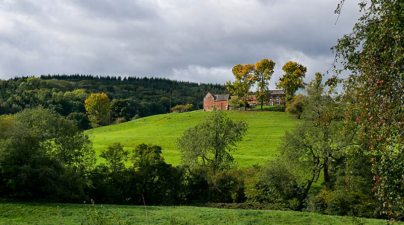
Following two thoroughly wet days, the clouds are lifting and we’re stretching our legs on the circuit around Willey and Linley Brook. We’re really into autumn now.


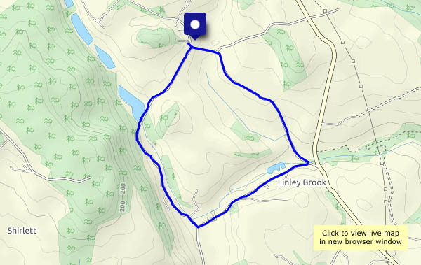
View OS map in Streetmap http://www.streetmap.co.uk/map.srf?X=367470&Y=298250&A=Y&Z=120
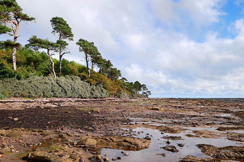
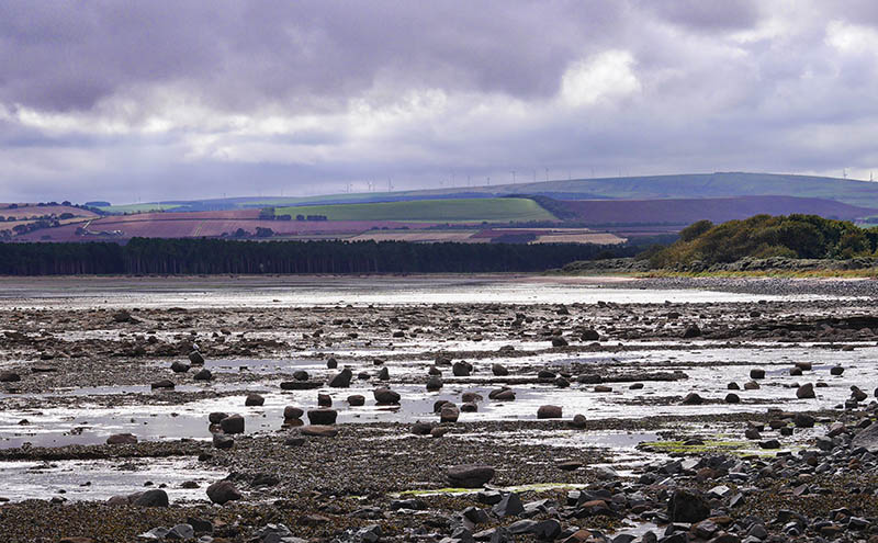
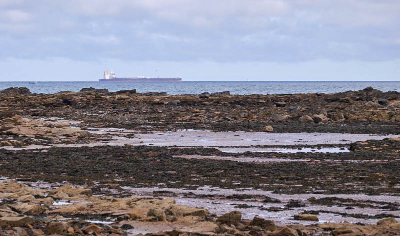
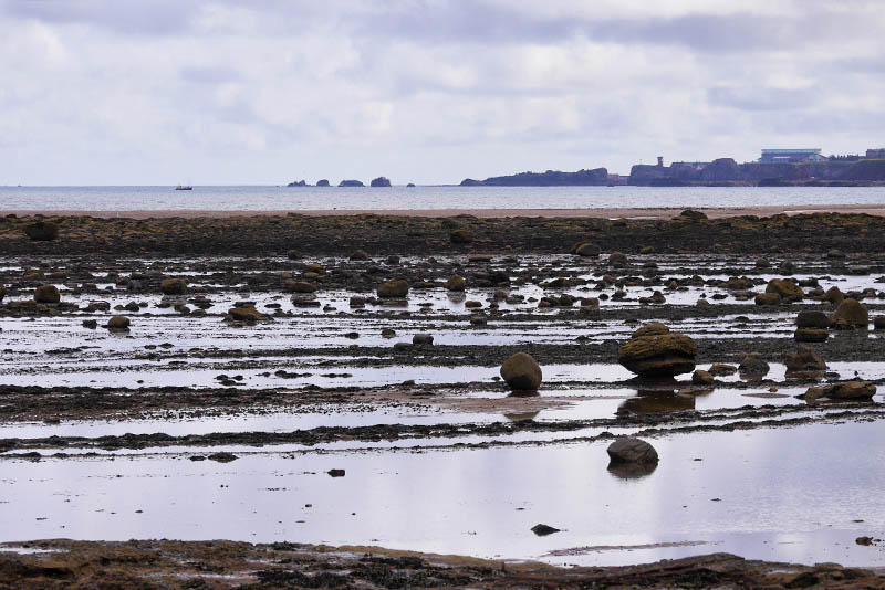
Saturday 19 September: Two weeks ago we were in Dunbar. Thursday and Friday were gloriously sunny; today’s a greyer, more subdued kind of day. We’re visiting – briefly – the coast just a little to the west, around Tyninghame, an area that will repay further further exploration on another occasion. Later, we’re back in Dunbar, for a last look before heading south again in the morning.


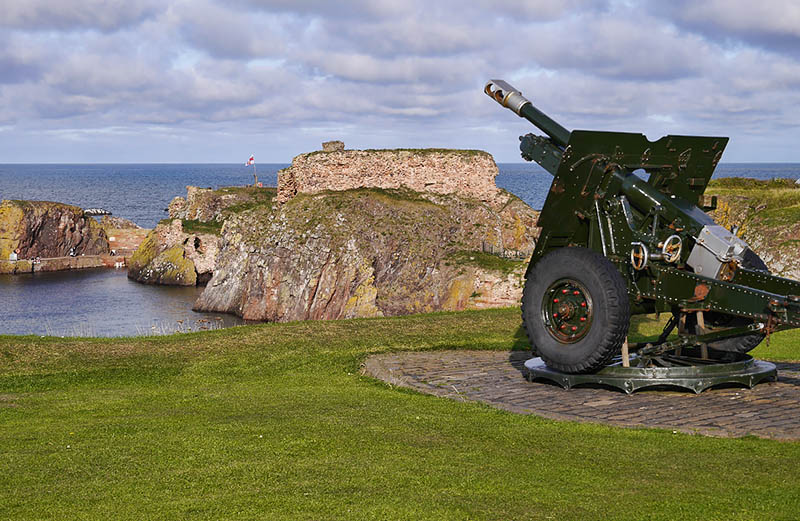
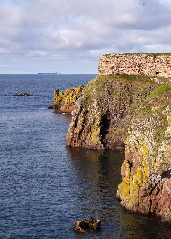
View OS map on Streetmap http://www.streetmap.co.uk/map.srf?X=363610&Y=680175&A=Y&Z=120
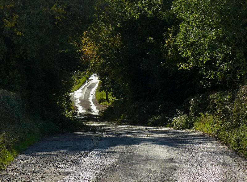
1st October: there will be showers this afternoon – perhaps we can dodge them? The next couple of days look like being rather wet, so we’d better make the most of today. We’ll hedge our bets with a route where there’s plenty of shelter… Sure enough, there are a few drops getting past the trees down Ned’s Lane, and a few more, with the sun behind them, along the Smithies lane. Otherwise, our luck’s still with us.
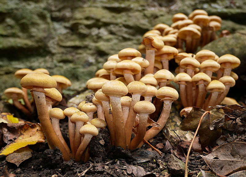
There are some truly splendid toadstools amongst the trees – some fine colonies of smaller specimens, and later we find some huge things like seriously-warped dinner plates. Some people would be able to put a name to them. Some would even eat them, I suspect. Not me!

")


View OS map on Streetmap http://www.streetmap.co.uk/map.srf?X=366240&Y=297950&A=Y&Z=120
Tuesday 29 September: another day that’s too good to waste! We’re ready early, so we’ll take a mini-picnic and find somewhere suitable to eat it. Perhaps Pole Bank? Perhaps not – it’s crowded! (That’s a relative term. There were perhaps 20 other people, plus bikes, dogs etc) We’ll keep going! Our original intention was to walk to the Packetstone, out on the ridge between Callow Hollow and Minton Batch, and it was there that we found dry, if not especially comfortable rocks to sit on. A picnic place with a wonderful view!


")


View OS map on Streetmap http://www.streetmap.co.uk/map.srf?X=341830&Y=292570&A=Y&Z=120
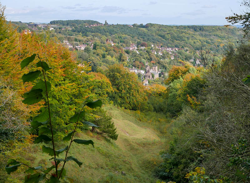
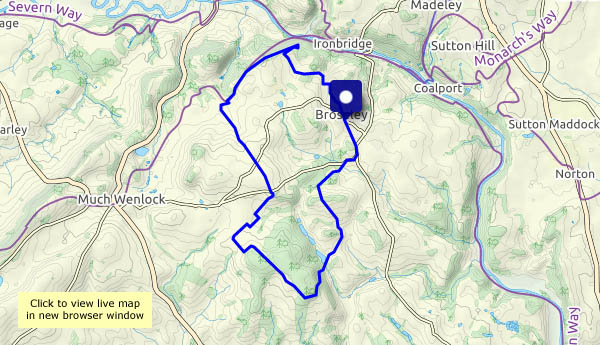
Seems to be. I’ll go for b&w. Inevitably, and despite the forecast, the sun decides to shine (for a while), and the camera switches itself to colour mode. Perhaps it’s trying to tell me something? For the purpose of these pictures, I’ll stick with plan A. It’s Ironbridge and Coalbrookdale, staying with the quieter, less-frequented ways.


")


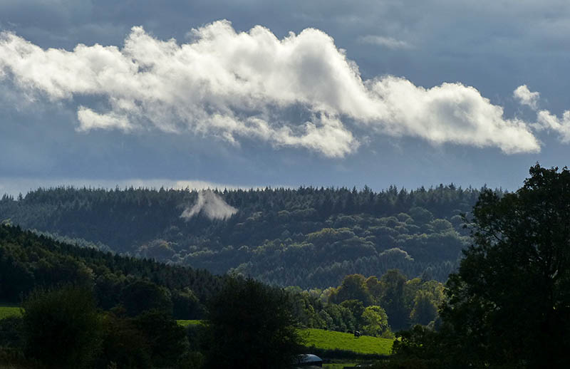
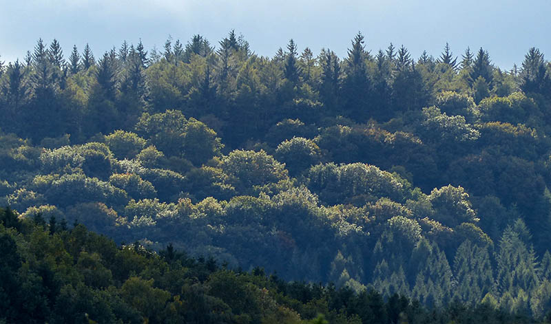
From Black Pool car park, up through the forest to High Vinnals, then out across the top of Hanway Common and down to Richard’s Castle (or what’s left of it), partly in Shropshire and part in Herefordshire. We walked this way about 18 months ago, on a fine, bright spring day (see “High Vinnals and Richard’s Castle“). Today’s a fine, bright autumn day, and it’s good to be out once more on these hills. High Vinnals is no great height (375m / 1230ft) but it’s a wonderful viewpoint, offering a tremendous panorama of the Welsh border country.


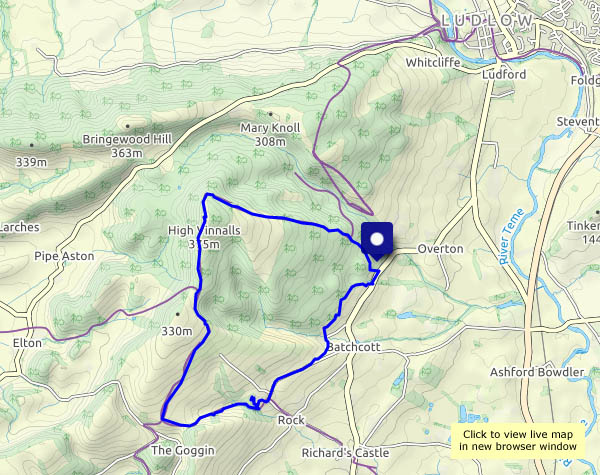
View OS map on Streetmap http://www.streetmap.co.uk/map.srf?X=348480&Y=271266&A=Y&Z=120
