
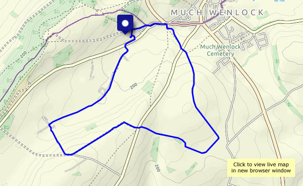
An easy wander to the south-west of Wenlock, on the last day of (meteorological) spring. There are wild flower meadows, fields of wheat, barley, oats and potatoes (and oilseed rape, almost completely faded), and hidden ways between lines of trees. Other than the power station chimney and cooling towers (not for much longer) it’s a rural and unspoiled landscape.


View OD map on Streetmap http://www.streetmap.co.uk/map.srf?X=361430&Y=298891&A=Y&Z=120
