Skye: Thursday 6 April (continued): Our last day – and it’s a beautiful Skye day – bright, breezy, blue sea and sky. I’m going for gold – walking from Kilmuir village hall to the Gold Cave, via the Bornesketaig cliff tops. The gold’s all gone, of course. There’s a full moon – the tide is as low as it gets, and at such times the cave can be entered – but I’m on my own (and there’s no-one else about), so the risk of a fall on those slippery rocks is worth avoiding (I’ve been in it before, some years ago). I’ll return along the shore to the Camus More campsite, then back up the reed-lined road. There will be times on the long drive home that I’ll think of this afternoon.
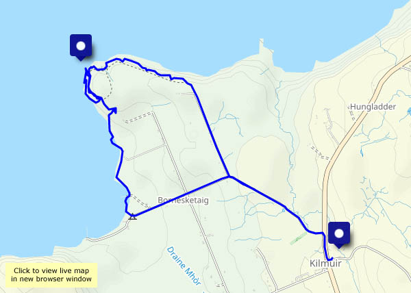
View OS map on Streetmap http://www.streetmap.co.uk/map?X=137951&Y=871125&A=Y&Z=120


")


")


")