Gathering pace

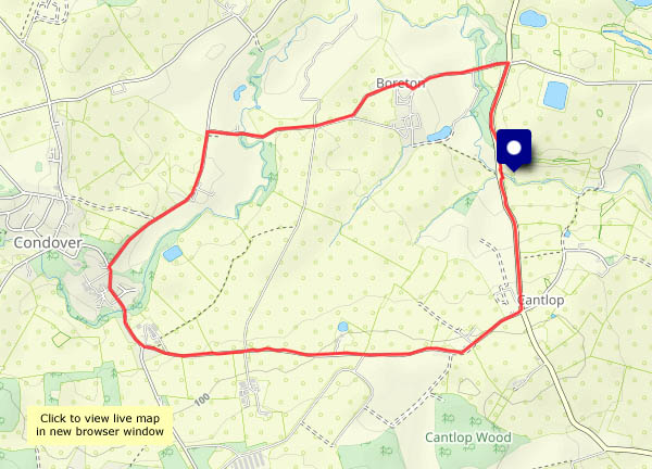
The days are getting noticeably longer, and the seasonal changes are becoming more noticeable. There are hundreds of snowdrops everywhere, the celandines are coming into flower, and up Bould Lane (it’s quite sheltered) hawthorn is coming into leaf. Plenty of time yet for wintry weather, but spring can’t be far over the horizon.

View OS map on Streetmap http://www.streetmap.co.uk/map?X=367575&Y=297830&A=Y&Z=120

The first…

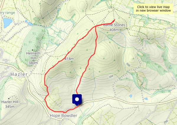
…of February. The first crocus flower appeared in the garden today, the first celandines are appearing here and there, and in the fields (some distance from the path I’m on) are the first lambs I’ve seen this year. 2024 is gathering pace! Just a little sunshine now and then, not a breath of wind – once again, it’s good to be out on a fine day.

View OS map on Streetmap http://www.streetmap.co.uk/map?X=365610&Y=302500&A=Y&Z=120

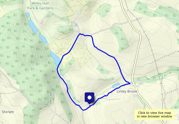
Darley and Willey

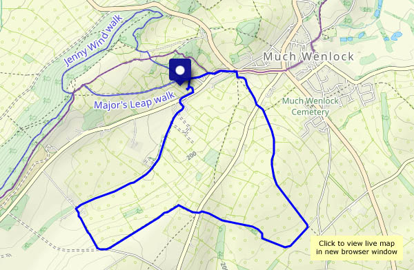
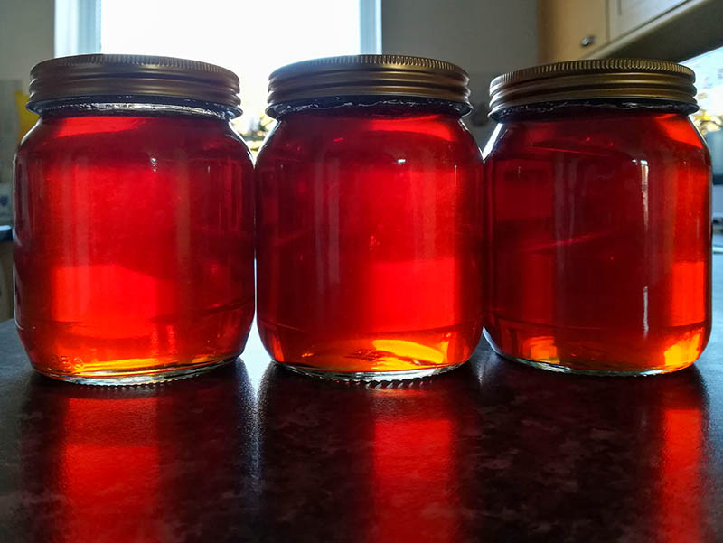
The sun’s there somewhere – it’s trying! There are a few patches of blue in the sky, but they never quite coincide with the sun’s position. Not to worry – it’s not raining, and it’s drier underfoot than it’s been for a while. I’m taking to the fields and unsurfaced tracks, down to Dean Brook and Darley, then past the Honeypot (yes, really!) to Willey. I’m on my way home now, heading over the hill to Deancorner and along the farm lane back towards the start. A pleasant afternoon – it’s good to be out.


View OS map on Streetmap http://www.streetmap.co.uk/map.srf?X=367695&Y=300145&A=Y&Z=120

Barmouth Bridge

Friday 26 January: we’re off to the Welsh coast, to see the rebuilt Barmouth Bridge – a remarkable bit of engineering and planning. We’re going by rail, a journey which suffers half-an-hour delay on the way back – leading to unanticipated bonuses at Machynlleth. Silver linings? This little cloud proved to have a golden lining!

There are more photos of the rail-related aspects of this outing and a couple of interesting video links on Geoff’s Rail Pages – visit The new Barmouth Bridge for the full story

View OS map on Streetmap http://www.streetmap.co.uk/map?X=261750&Y=314630&A=Y&Z=120

Skye: day 6 – to the bothy

Thursday 11 January: my last day of wandering, and the weather’s beginning to change. It remains calm and dry, but there’s more cloud about. Tomorrow there are domestic duties to attend to, and on Saturday, I begin my journey home. Today I’m walking the first stretch of the Skye Trail, to the bothy high above Rubha Hunish, the most northerly point of the island. In better times, I’d be down the very steep path to the spit of land below, where lies that northern tip, but it could be icy, and if I did go down there, it would be dark before I got back to the start. I’ll content myself with wonderful sea views, and some beautiful light as the sun sinks on this exceptional week on Skye.

View OS map on Streetmap http://www.streetmap.co.uk/map?X=141525&Y=875598&A=Y&Z=120