A grey and windy afternoon – the views are uninspiring, and the hedgerow plants won’t keep still…


A grey and windy afternoon – the views are uninspiring, and the hedgerow plants won’t keep still…
Not exactly… (aren’t they supposed to lead to a bad end?) The paths really aren’t fit for walking – I’ll stay on the surfaced lane, itself wet and muddy, with an assortment of potholes. I wouldn’t want to drive along these lanes! There’s no shortage of the pale yellow flowers now, and one or two other shades are starting to appear – there are a few violets, and – what’s this? I’ll have to look it up when I get home. Apparently it’s toothwort, a pale parasite, not the commonest of plants.


View OS map in Streetmap http://www.streetmap.co.uk/map.srf?X=367470&Y=298250&A=Y&Z=120
It’s a cold afternoon – especially in the stiff easterly breeze. No photo stops until I’m in the woods on Benthall Edge, where at least there’s some shelter. It’s dull and grey too – the camera gets some token exercise, but that’s all…


View OS map on Streetmap http://www.streetmap.co.uk/map?X=366315&Y=303065&A=Y&Z=120
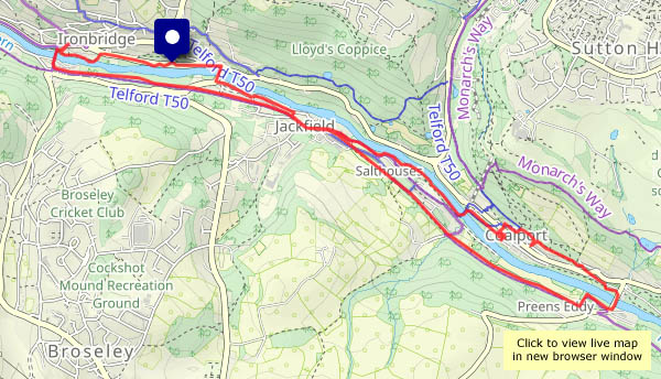
A very pleasant stroll, a little under five miles, between Ironbridge (bridge 1) and Coalport Bridge (2), calling in at the youth hostel for coffee and cake (yes, it’s open! Must be spring!) before crossing the Jackfield footbridge (3) and the new free bridge (4) to return to the start.


View OS map on Streetmap http://www.streetmap.co.uk/map?X=368345&Y=302620&A=Y&Z=120
It certainly feels like it – pleasantly warm in the sunshine (hat and gloves in pocket, jacket unfastened…), and with practically no wind, it’s very enjoyable wandering around these lanes. (Later, the sun hides behind the clouds, and it’s not quite so warm. It comes out again as soon as I’m in the car, driving home)


 Severn")


View OS map on Streetmap http://www.streetmap.co.uk/map.srf?X=356010&Y=304045&A=Y&Z=120
A morning job that overran meant I was around an hour late beginning my walk – and, as forecast, it became much sunnier from around 3pm… It’s a clear afternoon, with great views from the higher ground – but it’s very wet underfoot. Squelch squelch!


View OS map on Streetmap http://www.streetmap.co.uk/map.srf?X=366905&Y=295650&A=Y&Z=120
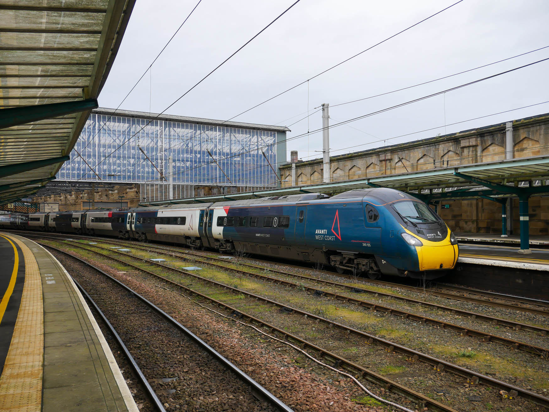
Just published to Geoff’s Rail Diaries, a set of photos from our short spell in Carlisle on Wednesday. We were due in at 10.01, to catch the 10.58 to Leeds via Settle. Visit “An hour at Carlisle” for the full picture…
1st March – St David’s day, and the Met Office’s first day of spring. Inevitably, it’s rather cold, with a sprinkling of snow on the Clee hills, and the daffodils are reluctant to flower. Warmer days will come, I’m certain. Meanwhile, it’s good to be out and about in this quiet part of the county.


View OS map on Streetmap http://www.streetmap.co.uk/map?X=365840&Y=298200&A=Y&Z=120
Wednesday 28 February: a trip that was planned back in January. Northern Rail’s great ticket sale meant we could get from Carlisle to Crewe, via the Settle and Carlisle to Leeds, and along the Calder Valley line to Manchester, for just £3.50 each! On that basis, we can afford some luxury – first class seats from Crewe to Penrith, also for a bargain price – with breakfast thrown in. We’ll have the scrambled eggs with smoked salmon, please. And coffee – and orange juice… Just the job!
Travelling most of the day meant few opportunities for photos, except at Carlisle where we had a little while to wait before we could board our Leeds train. But what a great day out we’ve had!


")

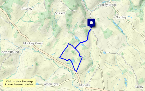
Cool, bright, breezy – when it shines, the sun is welcome… A pleasant afternoon wandering up Kenley Ridge, then dropping down the path through the trees to that hidden hollow, before walking back through Harnage Grange. Fresh air and some fine views!


View OS map on Streetmap http://www.streetmap.co.uk/map?X=357220&Y=301550&A=Y&Z=120
