
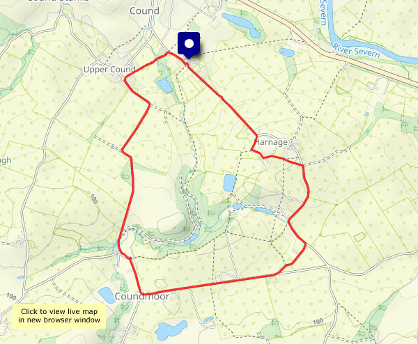
The breeze picks up whenever I point the camera at anything flighty (leaves and the like). Fortunately the fungi (it’s their season now!) are much more down-to-earth, and pose properly. The only problem for me is getting down to their level. It’s a fine afternoon, and it was supposed to be sunny. It was sunny just a little further west – clear blue sky was tantalisingly close, but the cloud never cleared above Cound. Can’t win every time.


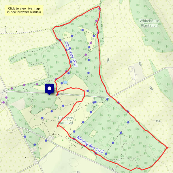
View OS map on Streetmap http://www.streetmap.co.uk/map?X=355695&Y=304040&A=Y&Z=120


")


")


")


