
They seem to be. Route lines disappear – then reappear (sometimes), somewhat scrambled… I’ve just checked on three different PCs – Win 7, XP and Ubuntu – no joy. Seems to be unable to cope with routes that lie off the roads and tracks known to, and marked on Gmaps. Oh dear. So to anyone trying to view my walk maps – sorry! Not my fault, nothing I can do about it except wait with fingers crossed.
Beech and pine
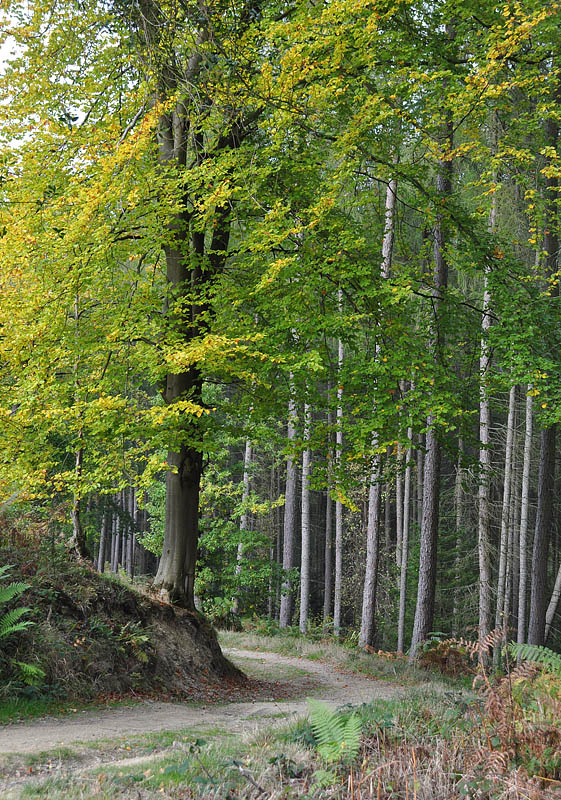 A brief exploration of a corner of Mortimer Forest we’d not visited before – Black Pool, just off the Richards Castle road. There’s only one waymarked walk starting from the car park – but others are encountered just a short way into the forest. May be worth a return visit, and a longer walk to take in Mary Knoll valley and High Vinnals.
Benthall and Wyke
A short walk on a bright and breezy afternoon. Perhaps ten or a dozen deer trotted through the woods as I headed away from Wyke – impossible to photograph, just glimpes among the trees


Colemore Green, Apley Forge and Nordley
The last few days have been cold, with a biting wind. It didn’t seem much warmer today – but the wind had dropped, making for very pleasant walking conditions. This was just a short “breath of fresh air” walk, but none the worse for it.


Industrial Steam

More from Saturday’s super steam spectacular at the Foxfield Railway – a reminder of the days of industrial steam
First attempt
I’ve been using Blogger for some time (more than five years) – perhaps I should have a look at WordPress? I’ve imported the old Blogger content – clearly, it will need some tidying up.
Think of this for now, as “work in progress”. In the meantime, visit geoffspages blog on Blogger
Foxfield – last train of the day

Another tremendous day at the Foxfield Railway – a real steam spectacular on the fearsome 1 in 19 gradient. Visit “Sunshine and Steam at Foxfield” on Geoff’s Rail Diaries
Ironbridge Fireworks

Seen from near Leighton. Ironbridge church – the tower is just visible bottom left – is about 3.5 miles away

Caledonian charm on the SVR
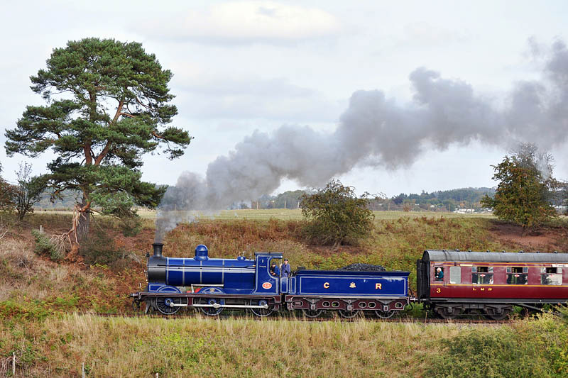 Blue engines are the best, aren’t they? The Caledonian Railway 0-6-0, resplendent in its superb blue livery, was (for me, and I suspect for many others) star attraction at the Severn Valley’s autumn gala this weekend. Visit “Caley Charm” on Geoff’s Rail Diaries.
Ashes Hollow to Pole Bank
I’d intended the walk to be circular – up Ashes Hollow to Pole Bank, returning by Callow Hollow, or possibly the ridge just to the south. But reality wasn’t as good as the forecast – the rain started half-way through lunch, and the clouds looked heavy and threatening. So I set off back down Ashes Hollow (at first down the shorter tributary that starts near Pole Cottage). Halfway down the hollow, the sky cleared and the sun came out again…
I’d seen the ledge path, above the stream on its south side, on the map. Perhaps it would provide a slightly different return route?
– it did. Clearly a made path, but used primarily by four-legged, woolly walkers. Not for the faint-hearted, but an interesting alternative with great views down into the Ashes Hollow.


