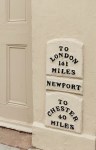
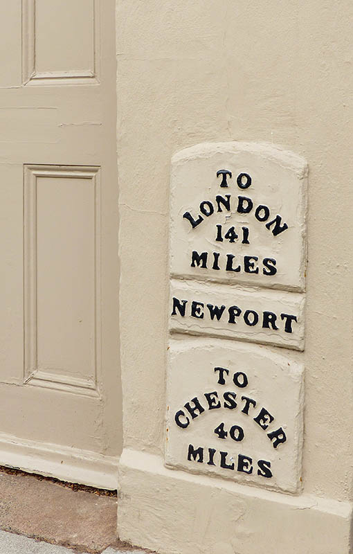
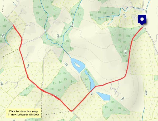
 That’s Newport, Shropshire, not one of the several others around the UK… Newport was the first place of any size served by the canal which ran from Norbury Junction, on the Birmingham and Liverpool Junction canal in Staffordshire, to Shrewsbury, with connections into the tub boat canals in east Shropshire. It was abandoned in 1944; some stretches are still in water, but much has disappeared completely. The Shrewsbury & Newport Canals Trust, which aims to restore the canal, has been active for the last 25 years. A stretch of roughly 2km (about a mile and a third) is in water through Newport. Though not yet navigable (several locks have been walled up and filled in) a good canalside path provides for a very pleasant walk (popular, too, on this Sunday afternoon)
Wikipedia: Shrewsbury Canal
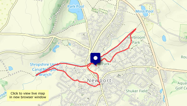
View OS map on Streetmap http://www.streetmap.co.uk/map?X=374530&Y=319530&A=Y&Z=120


")


")


")


")


")


