Gogbatch and the Mynd

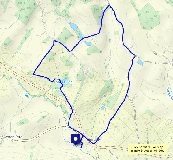
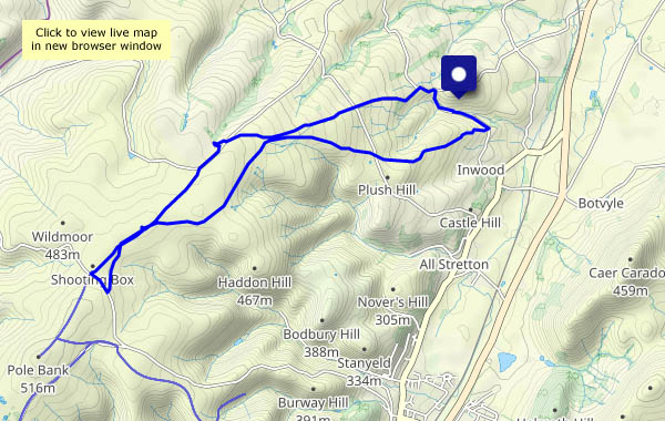
A misty, murky walk on the Long Mynd, starting from its northernmost valley, Gogbatch. We’re setting out a bit later than originally intended, to give the morning’s rain a chance to clear, and while it stays dry for the rest of the day, the views are hazy at best, with no sunshine. By the time we’ve eaten our lunch, the afternoon is wearing on, so rather than the highest point at Pole Bank, we’ll turn back at the Shooting Box, looping around to avoid too much retracing of steps. It may not be at its best on a day like this, but it’s still very pleasant to be out on these hills.

View OS map on Streetmap http://www.streetmap.co.uk/map?X=344720&Y=296185&A=Y&Z=120

Bedlam and Madeley

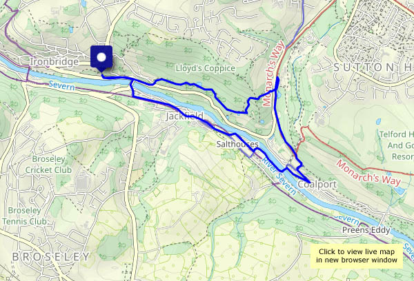
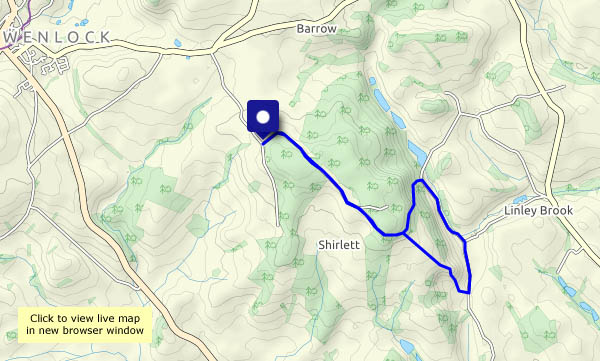
Bedlam is where we park the car! We’re walking up to Madeley, looking at some of the buildings which serve as a reminder of the area’s history. We head back past the All Nations, then follow the former railway track down to Coalport. The footbridge takes us back to the south bank, which we’ll follow through Jackfield before re-crossing on the Free Bridge and returning to Bedlam.

View OS map on Streetmap http://www.streetmap.co.uk/map?X=368850&Y=303680&A=Y&Z=120

Wyke and Benthall Edge

It was touch and go along the path from the hall to Wyke Lane – deep mud and dodgy detours. We’ll have to go the longer way round, along the road, next time. On the lane to Wyke we heard a plover  (“pee-wit, pee-wit”). It’s fine underfoot now (and the light is lovely) – until we get to the edge path, where dying ash trees are being cleared, and what used to be a winding path through the wood is a wide track for the tree-cutting machinery. Oh dear! Further along it’s fine, and we follow the usual ways to the chocolate seat, before cutting back to the lanes and paths across the fields, to return to Benthall Hall where we started.

View OS map on Streetmap http://www.streetmap.co.uk/map?X=365525&Y=302445&A=Y&Z=120

Willey on a windy day

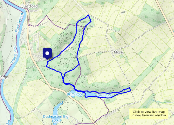
It’s blowing half a gale where we leave the car, but as we drop down into the other world that is this tiny corner of Shropshire, the wind becomes a breeze, and the sun is pleasantly warm (woolly hats not needed). The snowdrops are coming out amid the hawthorn of the neatly-trimmed hedges, and the sheep look pleased to see us (until they realise we haven’t brought any interesting edibles). Lower Pool looks decidedly choppy though, and when we climb back out of the valley, we’re back into the wind.

View OS map on Streetmap http://www.streetmap.co.uk/map?X=367662&Y=298184&A=Y&Z=120

A Shrewsbury viewpoint

We had to make a call in northern Shrewsbury earlier in the afternoon, just off the High Ercall road. A mile or two along that road is Haughmond Hill – let’s stretch our legs! It’s more a forest than a hill – mostly wooded and just a whisker over 500′ (153m) above sea level at its highest point. However, its south-west flank falls away steeply below some rocky outcrops revealing, on a good day, superb views ranging from the Wrekin in the east, through the south Shropshire hills to the Welsh border hills in the west. In that sense, today wasn’t a good day – the views qualifying as ‘pleasant’ rather than superb, but in all other respects it was a most enjoyable short outing.

View OS map on Streetmap http://www.streetmap.co.uk/map?X=354435&Y=313980&A=Y&Z=120