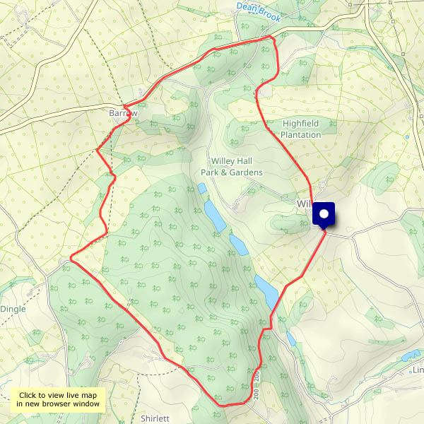
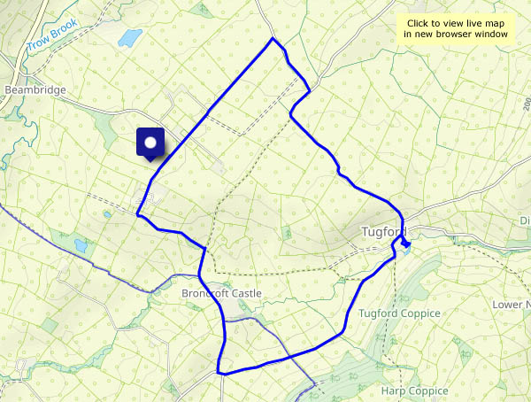
Stacks and caves of Balmaqueen

Mostly, the caves are unseen (a boat could be useful!) but from the Balmaqueen clifftops the stacks are an impressive feature, despite being just a small part of the extensive seascape and landscape views. Tomorrow’s going to be rainy, and the day after, we’re heading for home. A good one to end this trip’s outdoor explorations.

View OS map on Streetmap http://www.streetmap.co.uk/map?X=144270&Y=874503&A=Y&Z=120

Bornesketaig’s cave of gold

There’s silver in the greenery beside the road – it must have been misty in the early hour – and below the Ru Bornesketaig clifftop, there’s an Uamh Oir – a Gold Cave! It’s a well-hidden sea cave, and most of the time it’s inaccessible. Today the tide is really low – perhaps I should go and check? Perhaps 30 years ago, when the tide was exceptionally low, I managed to get into the cave. Not a great place to be – a wet and slippery floor – and there was no sign of any gold, so there certainly wouldn’t be any today. I’ll enjoy the view and keep going!

View OS map on Streetmap http://www.streetmap.co.uk/map?X=137815&Y=870870&A=Y&Z=120

Unhurried Uig

Thursday 16 October: As we drove down into Uig, the ferry was just departing with the 14.10 sailing to Lochmaddy – the puff of exhaust smoke from its funnel told the story. Soon after arrival from Tarbert some 50 minutes earlier, there would have been a flurry of activity as numerous cars, camper vans, lorries and other vehicles drove away, and the pier would then have been busy as the ferry loaded for its next crossing. Now it’s quiet in Uig, until the ferry returns in around 4 hours. The weather’s quiet too. It’s a small-scale shopping trip, but while we’re down here, we may as well enjoy a leg-stretch.

View OS map on Streetmap http://www.streetmap.co.uk/map?X=139181&Y=863762&A=Y&Z=115


Chestnuts and toadstools

Perhaps Chestnut Coppice should be renamed Toadstool Wood? There are certainly lots of chestnuts – we left with our pockets full – but there’s also a fine crop of all kinds of fungi. Mushrooms? Toadstools? I’m no judge, I just enjoy finding them, in all their different shapes and sizes, ranging from single isolated specimens to large family groups. And I’d much rather leave them for everyone else to enjoy.
The fallen chestnuts are in a different category. We’ll roast them and enjoy eating them – and rest assured, there are plenty left for the squirrels and other nibblers of nuts…

View OS map on Streetmap http://www.streetmap.co.uk/map?X=372065&Y=296465&A=Y&Z=120

Sunny Mynd

Monday 6 October: What a beautiful afternoon! It would be a crime not to be out on the hills, though we can hardly call this Long Mynd wander a hill walk. We’ve parked the car at about 1530′, and the highest point, Pole Bank, is 1680′. A good leg stretch though, through the rich colours of the autumnal moorland. Returning to the start, we realise we’ve had the best of the sunshine – clouds are starting to gather – but it’s been really pleasant out on these hills

View OS map on Streetmap http://www.streetmap.co.uk/map?X=342385&Y=295030&A=Y&Z=120

Canalside at Newport

That’s Newport, Shropshire, not one of the several others around the UK… Newport was the first place of any size served by the canal which ran from Norbury Junction, on the Birmingham and Liverpool Junction canal in Staffordshire, to Shrewsbury, with connections into the tub boat canals in east Shropshire. It was abandoned in 1944; some stretches are still in water, but much has disappeared completely. The Shrewsbury & Newport Canals Trust, which aims to restore the canal, has been active for the last 25 years. A stretch of roughly 2km (about a mile and a third) is in water through Newport. Though not yet navigable (several locks have been walled up and filled in) a good canalside path provides for a very pleasant walk (popular, too, on this Sunday afternoon)

Wikipedia: Shrewsbury Canal

View OS map on Streetmap http://www.streetmap.co.uk/map?X=374530&Y=319530&A=Y&Z=120

Symmetry

Hadn’t realised until I looked at the map! There’s a certain symmetry about an out-and-back route in any case. Not that it has anything to do with the feel of the walk – a real “blow the cobwebs away” struggle against storm Amy, while the few clouds fly past, taking me from light to shade and back in seconds. No great height here, but there are sweeping views to the south – and it really catches the wind. I’m not hanging around!

View OS map on Streetmap http://www.streetmap.co.uk/map?X=366750&Y=296360&A=Y&Z=120