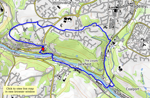
…and Jackfield, Madeley and Ironbridge. The sky is clear blue, but the temperature is barely above freezing and there’s a stiff northerly breeze. The sheltered valley and south-facing slopes might be the best places to aim for, and there’s plenty of interest on this short leg-stretch.


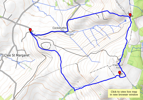
View OS map on Streetmap http://www.streetmap.co.uk/map.srf?X=368465&Y=303561&A=Y&Z=120


")