The far north

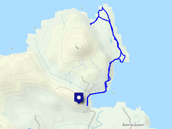
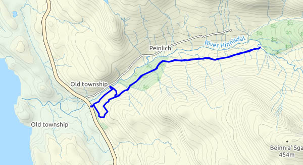
Rubha Hunish: the northernmost tip of Skye. We could see it yesterday, over to the west. It’s a fine morning, and if I get there soon, I should be able to park the car without trouble. Without a doubt, it’s the only way to beat the hordes. The walk to the cliff tops (Meall Tuath and Meall Deas) overlooking the Hunish peninsula is becoming popular, but not all visitors are prepared to take the precipitous route down the cliff face. The peninsula itself is wonderful – gentle grassy slopes 50′ – 100′ above the sea, with superb coastal architecture along the east side – stacks, an arch – fine views and the sound of nesting seabirds. The views, admittedly, could be clearer – it’s been hazy all week, and we’ve barely seen the outer isles. But it’s great here – just me, the gulls, a few gannets, cormorants and – was that a golden eagle?

As I approach the cliffs for the scramble back up, there are one or two figures on the headland, by the bothy, and as I make my way back along the path, I meet an eclectic cross-section of humanity. Some respond to my greeting; others look straight through me. Did I fall off the cliff and perish? Am I a ghost?
View OS map on Streetmap http://www.streetmap.co.uk/map.srf?X=141529&Y=875608&A=Y&Z=120

Staffin strolling

We’ve driven here from Uig, over the bealach – past the car park for the horribly busy path to the Quiraing. There must be 70-80 cars crammed into every available space (apart from that taken by the burger van). I believe, along with several other destinations on Skye, that’s it’s become firmly lodged on the “World Top 50 Selfies” list… (what a shame!)

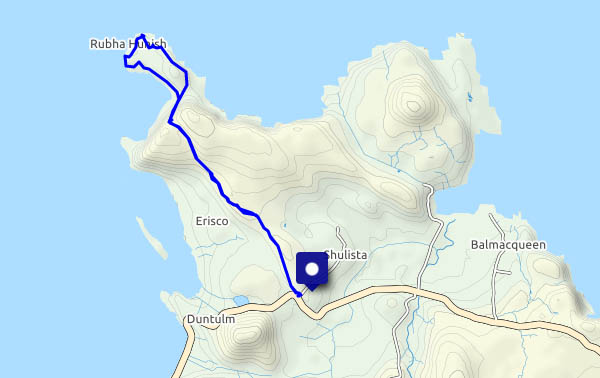
We squeeze past people struggling to park, and find ourselves in Staffin, for the very gentle walk over the hill and down to the shore south of the slip. Coming back up the well-engineered ancient path is slightly less gentle, but we can manage. Other than a few excessively loud voices at the slip, it’s really quiet – the only other person we’ve seen close by is a fisherman. On a fine, sunny, warm (for April) afternoon, Staffin’s shore is a great place to be.

View OS map on Streetmap http://www.streetmap.co.uk/map.srf?X=149198&Y=868006&A=Y&Z=120
A quiet glen

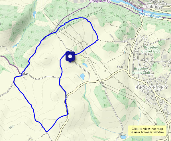
Monday 15 April: We’re in need of a good leg stretch – somewhere out of this cold south-easterly wind. The forest road up Glen Hinnisdal could be just the thing… It may be a forest road, but much of the woodland has been cleared – there are fine views up the glen, and, on retracing our steps, down to the coast and Loch Snizort.

View OS map on Streetmap http://www.streetmap.co.uk/map.srf?X=141515&Y=857530&A=Y&Z=120

Munslows and the Edge

Monday 1 April: another old favourite – walking from Aston Munslow, up onto the crest of the Wenlock Edge, and back via Munslow and the path across the fields. There’s no-one else about today – it’s very quiet up here. More signs of spring’s advance – the first bluebells are starting to appear, amongst the primroses, violets and celandines.

View OS map on Streetmap http://www.streetmap.co.uk/map.srf?X=351170&Y=287796&A=Y&Z=120

The Folly

It’s a landmark for miles around, marking the highest point of the Wenlock Edge. At the top of Flounders’ Folly. we’re 80 feet higher! Benjamin Flounders, a Yorkshireman, had it built in 1838. After falling into disrepair, the tower was renovated by a local trust in the early years of the millennium, with a new metal staircase. It is open to all who wish to take in the magnificent view from the top (and who are prepared to make the 500 ft ascent from the parking area) once a month – usually the last Sunday, also on certain high days (appropriately) and holidays. Today being the last Sunday in March, we’ll pay it a visit…

Flounders’ Folly

View OS map on Streetmap http://www.streetmap.co.uk/map.srf?X=345895&Y=285041&A=Y&Z=120

Up the Ashes!

…to Pole Bank. Thursday 28 March – the sky is cloudless, we need an outing to enjoy this weather. Haven’t been to the Long Mynd for a little while, so we’ll go for the old favourite – up the Ashes Hollow, to its stream’s source in the Boiling Well (which is neither), on to the highest point of the Mynd at Pole Bank, then back along the ridge which eventually brings us back to Little Stretton by Small Batch (which is aptly named, a batch being a valley). Despite the weather, we have the hills almost to ourselves – I think we saw more wild ponies than people.

View OS map on Streetmap http://www.streetmap.co.uk/map.srf?X=342610&Y=293211&A=Y&Z=120

High Vinnals and Richard’s Castle

It’s a beautiful spring day, perfect for a picnic lunch on Climbing Jack Common… We’re walking from the Black Pool car park near Ludlow, up to the top of High Vinnals. The air is cold but clear – those are the Brecon Beacons, more than 40 miles distant on the southern horizon. Heading downhill now,  we cross the top of Hanway Common and look down on the Goggin (who wouldn’t?) before descending to what’s left of Richard’s Castle. It’s defended, or tended, by a pair of goats, currently basking atop the highest remaining wall. The church nearby has a separate bell tower,  The village of the same name is perhaps 3/4 of a mile way. A curious settlement – mostly in Herefordshire, its village hall is in Shropshire.

View OS map on Streetmap http://www.streetmap.co.uk/map.srf?X=348480&Y=271266&A=Y&Z=120