…of a sunny afternoon, before the weather goes rapidly downhill again. We’re following Pound Lane to the Severn, then walking upstream as far as Jackfield. Our usual routes home will be very muddy; we could walk up beside the road, but that’s not pleasant, and there’s a bus due…
Category: Shropshire hills
The Gaer Stone and the Battle Stones
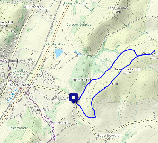
After lunch in Church Stretton, there’s time for a short wander on the Hope Bowdler hills, visiting the remarkable outcrop of the Gaer Stone, then walking to the other end of the ridge at the Battle Stones. It’s windy and it’s cold, but when the sun shines the light is lovely. We head back toward the car in the lee of the wind, and the sun’s gone behind some thicker clouds. Time for home.
View OS map on Streetmap https://www.streetmap.co.uk/map.srf?X=348155&Y=293671&A=Y&Z=120
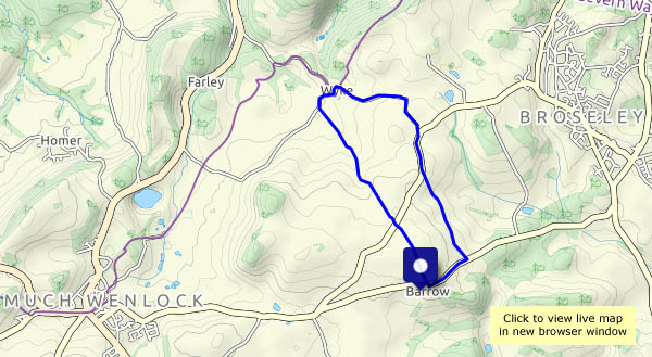
To Wyke
A short wander in the high(ish) country between Much Wenlock and Broseley, continuing to enjoy this spell of fine weather. We’re going to pay for it at the weekend, when storm Ciara comes visiting.
View OS map on Streetmap https://www.streetmap.co.uk/map.srf?X=365265&Y=301116&A=Y&Z=120
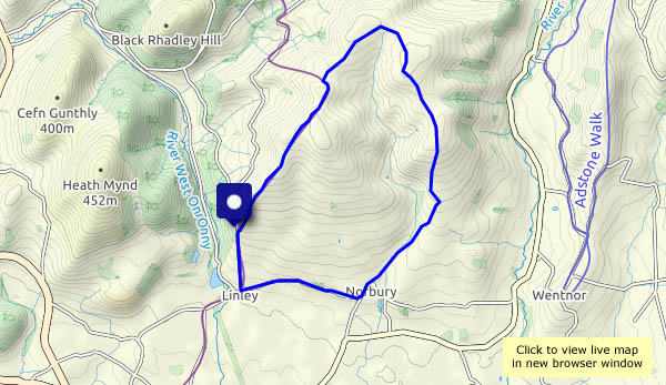
On Linley Hill
Another day of clear blue skies! We’d better make the most of this fine weather – tomorrow, and the next few days, will be dull, apparently. So we’re off to Linley Hill, for a circular walk via Norbury, ending with a stroll down the avenue of beech trees. They’re a notable local landmark, and for many years their shapes have enhanced this grassy ridge. Sadly, those that remain are near the end of their lives, having been planted in 1740, and have reached that stage where they’re no longer very graceful. Only a few years ago (see our last visit, “Linley Beeches” in January 2012, when the weather was rather more dramatic too), their wind-blown shapes spoke of the weather in these parts. Today, it’s the fallen branches and broken trunks which speak more loudly. Replacements have already been planted, but it will be many years before they take on the appearance of their predecessors.
View OS map on Streetmap https://www.streetmap.co.uk/map.srf?X=335975&Y=294141&A=Y&Z=120
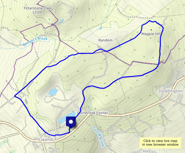
Magpie Hill and Hoar Edge
A walk from Cleehill village (again), across the empty grassland to the dereliction (“it’s creepy!”) on Magpie Hill, then back via the three-forked pole and Hoar Edge, down to Rouse-Boughton Terrace and along the old railway track. It’s hazy – there’s been fog further east, I think, but not here. The sky is blue and clear – not a single cloud, perfect for the display provided by three red kites, high above the quarry as we near the end of our wander.
View OS map on Streetmap https://www.streetmap.co.uk/map.srf?X=360170&Y=276491&A=Y&Z=120
Underton and Meadowley
Sound delightful, don’t they? The tiniest of hamlets, below and on respectively (guess which!) low hills a mile or two to the west of Bridgnorth. Last time we were here, it was foggy (see “It’s foggy!“). Today, we can see for miles!
View OS map on Streetmap https://www.streetmap.co.uk/map.srf?X=367630&Y=292071&A=Y&Z=120
Langley Chapel and Church Preen
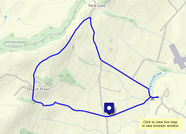
The ecclesiastical link is pure coincidence. Langley Chapel seemed a good (and interesting) place to start, and the hamlet of Church Preen (whose church cannot be seen from the through roads) marked the half-way point. It’s a circular walk, entirely on very quiet roads (six miles, five cars, two horses), as last night’s heavy rain will have made the fields and paths really soggy. It’s very pleasant out too – clear air, just a light breeze, sunshine – what more could one want?
We’ve been to Langley Chapel before – for more photos, visit Langley Chapel
View OS map on Streetmap https://www.streetmap.co.uk/map.srf?X=353900&Y=299181&A=Y&Z=120
Nordley Common and Linley Brook
We’re trying some paths we haven’t walked before: the bridleway over Nordley Common, a relatively-new permissive path next to the main road, and a little-walked path beside Linley Brook. As might be expected, there’s some mud on the bridleway, nothing we can’t cope with. There’s a bit of a pool on the permissive way – we’ll walk around it. The way beside the brook is something else. It’s a jungle! Just the barest trace of a path, which in places is perilously close to the brook, wet and extremely slippery… Tricky. One of us slipped (away from the brook, fortunately) and sat in the mud, and is still grumbling… Will it be worth trying in summer, when it might be drier underfoot? Or will the jungle be even less penetrable? (Will we bother to find out?)
View OS map on Streetmap https://www.streetmap.co.uk/map.srf?X=368150&Y=297381&A=Y&Z=120
Mist on Brown Clee
Monday 30th December: like Christmas Day, the sky is blue. Unlike Christmas Day, there’s a stiff breeze – and patches of mist blowing around, not enough to be a nuisance, but adding to the enjoyment of this wonderful day on the hills. Remarkably, above the mist, the views are (at times) extensive – there are the Black Mountains – and that’s Pen y Fan, the highest point of the Brecon Beacons, some 55 miles distant. It’s unusually busy up here – we must have seen more than 20 other people. Mostly, they confine their activites to the small area between the summit and the old railway incline – elsewhere, Brown Clee is ours.
View OS map on Streetmap https://www.streetmap.co.uk/map.srf?X=358945&Y=286006&A=Y&Z=120
Grey days at the year’s end
A linear walk from home, out to Willey and Shirlett (from where, if the phone’s working, I’ll arrange a lift). There’s a hint of colour in the south-western sky, otherwise the landscape is dull and grey – except in the woods, where there’s colour under the trees. These are quiet places – exceptionally so today, just the sound here and there of running water, accompanied by occasional birdsong. Just what’s needed!