Cold Clee views

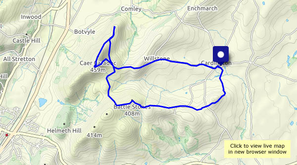
After much rain, a dry evening, and a very cold one. It’s early May, but it’s barely above freezing. Patches of white under the trees – surely not snow? No, there’s been a hailstorm earlier, by the look of it. Should have brought my gloves! The clear rain-washed air and the fine views to the Clee hills more than make up for cold hands.

View OS map on Streetmap http://www.streetmap.co.uk/map?X=365897&Y=298107&A=Y&Z=115

The lane and the dingle

How different the world outdoors is, compared with a couple of months ago! Spring greenery is taking over; spring flowers are everywhere in profusion. We’re enjoying a morning walk down Caughley Road, along the old railway track and back up Corbett’s Dingle, where the wild garlic now forms a deep green shag pile carpet.

View OS map on Streetmap http://www.streetmap.co.uk/map?X=369385&Y=301370&A=Y&Z=120

Another evening

Once again, there are showers about during the day, so we’ve decided to take a stroll in the evening, down the other Shirlett lane to Hawthorn Bank and back. There are some wonderful views to the south Shropshire hills, blue (as they’ll be remembered) on the horizon. There are still some showers about, too – like yesterday evening, not everyone will be enjoying the sunshine…

View OS map on Streetmap http://www.streetmap.co.uk/map?X=365150&Y=298415&A=Y&Z=120

Ironbridge: roads less travelled

We’re across the river today for a wander around Ironbridge and Coalbrookdale. The former can be busy, and there are major road works along the Wharfage – we’ll avoid them both by following just some of the minor roads, lanes, ginnels and snickets in this fascinating area.
Near the top of Church Hill, we find ourselves at the place where we stood in December 2019 to watch the power station cooling towers being demolished – see Bang! and the ‘before and after’ photos below.
Remarkably, in a walk a little under 5 miles, we’ve done nearly 1,000ft of ascent. Truly, a walk in the Shropshire hills!

View OS map on Streetmap http://www.streetmap.co.uk/map?X=367262&Y=304117&A=Y&Z=120

Barrow and Willey – a Shirlett circular

We’ve walked this route several times – today we’ll vary it slightly at the start, taking the direct(ish) path to Barrow from Shirlett Farm. There’s a dark smudge of smoke on the horizon – later we find that a Telford recycling depot has gone up in flames. No smoke here – the air seems especially fresh today, and Shropshire is turning noticeably green. It’ll soon be summer!

View OS map on Streetmap http://www.streetmap.co.uk/map?X=366190&Y=299095&A=Y&Z=120

Caer Caradoc

A Shropshire hill with a Welsh name, on St George’s day. England’s patron saint was born in Turkey to Greek parents, a former Roman soldier who never came to Britain (and certainly never slew any dragons!) It’s a popular outing – several others around (we can hear them!) but we can enjoy an al fresco lunch just below the summit and watch the trains go by, 300m below. Above us are red kites, but they’re camera shy today. Perhaps I can get a shot of one of these big noisy dragonflies…

We leave Caractacus’s fort and head back towards Cardington via the Battle Stones and Hill End – an altogether quieter conclusion to another great day out.

View OS map on Streetmap http://www.streetmap.co.uk/map?X=349110&Y=295075&A=Y&Z=120