Wyke and Benthall Edge

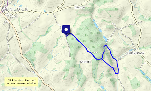
It was touch and go along the path from the hall to Wyke Lane – deep mud and dodgy detours. We’ll have to go the longer way round, along the road, next time. On the lane to Wyke we heard a plover  (“pee-wit, pee-wit”). It’s fine underfoot now (and the light is lovely) – until we get to the edge path, where dying ash trees are being cleared, and what used to be a winding path through the wood is a wide track for the tree-cutting machinery. Oh dear! Further along it’s fine, and we follow the usual ways to the chocolate seat, before cutting back to the lanes and paths across the fields, to return to Benthall Hall where we started.

View OS map on Streetmap http://www.streetmap.co.uk/map?X=365525&Y=302445&A=Y&Z=120

Willey on a windy day

It’s blowing half a gale where we leave the car, but as we drop down into the other world that is this tiny corner of Shropshire, the wind becomes a breeze, and the sun is pleasantly warm (woolly hats not needed). The snowdrops are coming out amid the hawthorn of the neatly-trimmed hedges, and the sheep look pleased to see us (until they realise we haven’t brought any interesting edibles). Lower Pool looks decidedly choppy though, and when we climb back out of the valley, we’re back into the wind.

View OS map on Streetmap http://www.streetmap.co.uk/map?X=367662&Y=298184&A=Y&Z=120

A Shrewsbury viewpoint

We had to make a call in northern Shrewsbury earlier in the afternoon, just off the High Ercall road. A mile or two along that road is Haughmond Hill – let’s stretch our legs! It’s more a forest than a hill – mostly wooded and just a whisker over 500′ (153m) above sea level at its highest point. However, its south-west flank falls away steeply below some rocky outcrops revealing, on a good day, superb views ranging from the Wrekin in the east, through the south Shropshire hills to the Welsh border hills in the west. In that sense, today wasn’t a good day – the views qualifying as ‘pleasant’ rather than superb, but in all other respects it was a most enjoyable short outing.

View OS map on Streetmap http://www.streetmap.co.uk/map?X=354435&Y=313980&A=Y&Z=120

Astley Abbots and the riverbank

A fine sunny afternoon, perfect for a walk along the bank of the Severn. It’s a figure of 8 walk – out across the fields behind the old school, then along the lane all the way to Lower Severn Hall. The riverbank can be very sticky after rain, or when there’s been a flood, but today it provides us with a most enjoyable waterside walk. Soon we’re back on the old railway track, then onto the path up through Chestnut Coppice to cross our earlier tracks, heading back for the car past Boldings Pools.

View OS map on Streetmap http://www.streetmap.co.uk/map?X=371160&Y=296520&A=Y&Z=120

Butler’s and Lord’s

A variation on a familiar route: walking to Kenley and Harnage Grange, but changing the start to take in two small areas of woodland, Butler’s Plantation and Lord’s Coppice (was the former the latter’s?). The field between them is slightly sticky; the woodland is pleasant and, in the case of Lord’s Coppice, fairly open. Being on a hillside, the views are good too. But what happened to the promised sunshine this afternoon? Not a trace – dull and grey again!

View OS map on Streetmap http://www.streetmap.co.uk/map.srf?X=356695&Y=301410&A=Y&Z=120